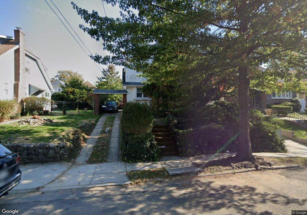
18624 Jordan Ave Saint Albans, NY 11412
Hollis NeighborhoodEstimated Value: $678,830 - $920,000
--
Bed
--
Bath
1,462
Sq Ft
$545/Sq Ft
Est. Value
About This Home
This home is located at 18624 Jordan Ave, Saint Albans, NY 11412 and is currently estimated at $796,708, approximately $544 per square foot. 18624 Jordan Ave is a home located in Queens County with nearby schools including P.S. 118 Lorraine Hansberry, I.S. 192 The Linden, and Riverton Street Charter School.
Ownership History
Date
Name
Owned For
Owner Type
Purchase Details
Closed on
Apr 17, 1995
Sold by
Mouzon Arthur and Mouzon Philip
Bought by
Mouzon Arthur and Mouzon Else
Current Estimated Value
Purchase Details
Closed on
Dec 1, 1994
Sold by
Mcintyre Bruce and Mouzon Grace P
Bought by
Mouzon Arthur and Mouzon Philip
Create a Home Valuation Report for This Property
The Home Valuation Report is an in-depth analysis detailing your home's value as well as a comparison with similar homes in the area
Home Values in the Area
Average Home Value in this Area
Purchase History
| Date | Buyer | Sale Price | Title Company |
|---|---|---|---|
| Mouzon Arthur | $101,500 | First American Title Ins Co | |
| Mouzon Arthur | -- | First American Title Ins Co | |
| Mouzon Arthur | -- | -- | |
| Mouzon Arthur | -- | -- |
Source: Public Records
Tax History Compared to Growth
Tax History
| Year | Tax Paid | Tax Assessment Tax Assessment Total Assessment is a certain percentage of the fair market value that is determined by local assessors to be the total taxable value of land and additions on the property. | Land | Improvement |
|---|---|---|---|---|
| 2025 | $5,756 | $31,858 | $9,977 | $21,881 |
| 2024 | $5,768 | $30,058 | $9,172 | $20,886 |
| 2023 | $5,820 | $30,058 | $8,821 | $21,237 |
| 2022 | $5,373 | $40,560 | $14,280 | $26,280 |
| 2021 | $5,626 | $36,720 | $14,280 | $22,440 |
| 2020 | $5,323 | $31,560 | $14,280 | $17,280 |
| 2019 | $4,947 | $27,000 | $14,280 | $12,720 |
| 2018 | $4,808 | $25,048 | $11,508 | $13,540 |
| 2017 | $4,767 | $24,856 | $11,975 | $12,881 |
| 2016 | $4,378 | $24,856 | $11,975 | $12,881 |
| 2015 | $2,608 | $22,123 | $14,492 | $7,631 |
| 2014 | $2,608 | $20,874 | $13,674 | $7,200 |
Source: Public Records
Map
Nearby Homes
- 188-07 Mangin Ave
- 18823 Mangin Ave
- 186-16 Hilburn Ave
- 188-25 Mangin Ave
- 187-44 Jordan Ave
- 18833 Keeseville Ave
- 183-34 Fonda Ave
- 188-31 Jordan Ave
- 111-06 Farmers Blvd
- 183-29 Brinkerhoff Ave
- 11176 180th St
- 183-12 Elmira Ave
- 19022 111th Rd
- 179-07 Murdock Ave
- 18908 114th Rd
- 187-23 Brinkerhoff Ave
- 188-45 Quencer Rd
- 183-09 Dunlop Ave
- 112- 2 178th St
- 183-67 Dunlop Ave
- 18620 Jordan Ave
- 186-20 Jordan Ave
- 18630 Jordan Ave
- 18616 Jordan Ave
- 18636 Jordan Ave
- 18725 Mangin Ave
- 18723 Mangin Ave
- 18729 Mangin Ave
- 18719 Mangin Ave
- 18612 Jordan Ave
- 18731 Mangin Ave
- 18717 Mangin Ave
- 187-17 Mangin Ave
- 18640 Jordan Ave
- 18640 Jordan Ave
- 18731 Mangin Ave
- 18735 Mangin Ave
- 18713 Mangin Ave
- 18621 Jordan Ave
- 18625 Jordan Ave