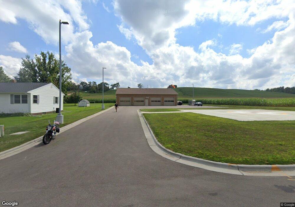
18627 Ervin St Whitehall, WI 54773
Estimated Value: $176,000 - $282,000
--
Bed
--
Bath
--
Sq Ft
0.96
Acres
About This Home
This home is located at 18627 Ervin St, Whitehall, WI 54773 and is currently estimated at $235,688. 18627 Ervin St is a home located in Trempealeau County with nearby schools including Whitehall Memorial Elementary School, Whitehall Memorial Jr./Sr. High School, and Fly Creek Amish School.
Ownership History
Date
Name
Owned For
Owner Type
Purchase Details
Closed on
Sep 15, 2021
Sold by
Speerstra Samuel J and Mattison Andrea S
Bought by
Tri County Mem Hosp
Current Estimated Value
Purchase Details
Closed on
Mar 14, 2014
Sold by
Mueller Jeffrey W and Mueller Mary Jo
Bought by
Speerstra Samuel J
Home Financials for this Owner
Home Financials are based on the most recent Mortgage that was taken out on this home.
Original Mortgage
$133,000
Interest Rate
4.29%
Mortgage Type
New Conventional
Create a Home Valuation Report for This Property
The Home Valuation Report is an in-depth analysis detailing your home's value as well as a comparison with similar homes in the area
Home Values in the Area
Average Home Value in this Area
Purchase History
| Date | Buyer | Sale Price | Title Company |
|---|---|---|---|
| Tri County Mem Hosp | $215,000 | Town N' Country Title Llc | |
| Speerstra Samuel J | $140,000 | Total Title Services Llc |
Source: Public Records
Mortgage History
| Date | Status | Borrower | Loan Amount |
|---|---|---|---|
| Previous Owner | Speerstra Samuel J | $133,000 |
Source: Public Records
Tax History Compared to Growth
Tax History
| Year | Tax Paid | Tax Assessment Tax Assessment Total Assessment is a certain percentage of the fair market value that is determined by local assessors to be the total taxable value of land and additions on the property. | Land | Improvement |
|---|---|---|---|---|
| 2024 | -- | $0 | $0 | $0 |
| 2023 | $0 | $0 | $0 | $0 |
| 2022 | $0 | $0 | $0 | $0 |
| 2021 | $3,725 | $126,600 | $11,000 | $115,600 |
| 2020 | $3,725 | $22,560 | $11,000 | $11,560 |
| 2019 | $3,323 | $126,600 | $11,000 | $115,600 |
| 2018 | $3,025 | $126,600 | $11,000 | $115,600 |
| 2017 | $3,155 | $126,600 | $11,000 | $115,600 |
| 2016 | $3,061 | $126,600 | $11,000 | $115,600 |
| 2015 | $2,973 | $126,600 | $11,000 | $115,600 |
| 2014 | $2,819 | $126,600 | $11,000 | $115,600 |
| 2011 | $2,656 | $106,000 | $10,000 | $96,000 |
Source: Public Records
Map
Nearby Homes
- 18430 Hillside Dr
- 18144 Anderson St
- 36015 Main St
- 36290 Camp St
- 18124 Fredrickson St
- N36836 Us Highway 53 121
- N32838 Briten Rd
- 36121 Ash St
- N34701 County Rd N
- N34855 County Rd S
- 35433 Wayne St
- 35979 Osseo Rd
- 23898 Adams St
- N30732 Square Bluff Rd
- 23942 Tracy St
- 517 W Broadway St
- 102 S Peterson Ave
- N34701 County Rd S
- 328 S Urberg Ave
- 39971 Anderson St
- 18324 Ervin St
- 18336 Ervin St
- 18088 Ervin St
- 18112 Ervin St
- 18030 Ervin St
- 18292 Ervin St
- 18465 Ervin St
- 18342 Ervin St
- 18354 Ervin St
- 18378 Ervin St
- 36035 Roosevelt St
- 36030 Sherwood St
- 36047 Roosevelt St
- 36048 Sherwood St
- 36059 Roosevelt St
- 36054 Roosevelt St
- 36062 Sherwood St
- 36037 Sherwood St
- 36071 Roosevelt St
- 36074 Sherwood St
