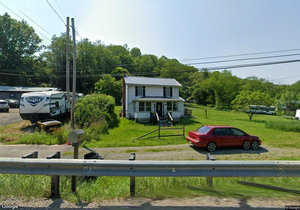
1863 Dime Rd Vandergrift, PA 15690
Estimated Value: $159,388 - $304,000
4
Beds
2
Baths
1,288
Sq Ft
$164/Sq Ft
Est. Value
About This Home
This home is located at 1863 Dime Rd, Vandergrift, PA 15690 and is currently estimated at $210,597, approximately $163 per square foot. 1863 Dime Rd is a home with nearby schools including Kiski Area High School.
Ownership History
Date
Name
Owned For
Owner Type
Purchase Details
Closed on
Apr 25, 2007
Sold by
Frain Randall C and Frain Sandra D
Bought by
Quinn William T and Quinn Darcy L
Current Estimated Value
Home Financials for this Owner
Home Financials are based on the most recent Mortgage that was taken out on this home.
Original Mortgage
$92,000
Outstanding Balance
$55,870
Interest Rate
6.23%
Mortgage Type
New Conventional
Estimated Equity
$154,727
Purchase Details
Closed on
Apr 10, 1997
Bought by
Speer Fred and Speer Josephine
Create a Home Valuation Report for This Property
The Home Valuation Report is an in-depth analysis detailing your home's value as well as a comparison with similar homes in the area
Home Values in the Area
Average Home Value in this Area
Purchase History
| Date | Buyer | Sale Price | Title Company |
|---|---|---|---|
| Quinn William T | $92,000 | None Available | |
| Speer Fred | -- | -- | |
| Speer Fred | -- | -- |
Source: Public Records
Mortgage History
| Date | Status | Borrower | Loan Amount |
|---|---|---|---|
| Open | Quinn William T | $92,000 |
Source: Public Records
Tax History
| Year | Tax Paid | Tax Assessment Tax Assessment Total Assessment is a certain percentage of the fair market value that is determined by local assessors to be the total taxable value of land and additions on the property. | Land | Improvement |
|---|---|---|---|---|
| 2025 | $2,084 | $27,990 | $17,960 | $10,030 |
| 2024 | $1,925 | $27,990 | $17,960 | $10,030 |
| 2023 | $1,831 | $27,990 | $17,960 | $10,030 |
| 2022 | $1,831 | $27,990 | $17,960 | $10,030 |
| 2021 | $1,829 | $27,990 | $17,960 | $10,030 |
| 2020 | $1,852 | $27,990 | $17,960 | $10,030 |
| 2019 | $1,851 | $27,990 | $17,960 | $10,030 |
| 2018 | $1,815 | $25,650 | $11,325 | $14,325 |
| 2017 | $1,773 | $27,990 | $17,960 | $10,030 |
| 2016 | $1,722 | $27,990 | $17,960 | $10,030 |
| 2015 | $1,655 | $27,990 | $17,960 | $10,030 |
| 2014 | $1,655 | $27,990 | $17,960 | $10,030 |
Source: Public Records
Map
Nearby Homes
- 1212 Gravel Bar Rd
- 817 3rd St
- 820 Third Ave
- 0000 Sr-2060
- 114 Johnetta Rd
- 411 Center St
- 171 Hillview Manor Rd
- 1116 Grant St
- 1252 Jefferson St
- 353 Madison Ave
- 597 Market St
- 380 Monroe Ave
- 310 Chestnut St
- 133 Sherman Ave
- 137 Sherman Ave
- 118 Lehigh Dr
- 555 Market St
- 107 Sumner Ave
- 437 Lincoln Ave
- 247 Sherman Ave
- 1857 Dime Rd
- 1856 Dime Rd
- 1850 Dime Rd
- 1110 Hungry Hollow Rd
- 1109 Hungry Hollow Rd
- 1120 Locust Rd
- 1126 Locust Rd
- 1877 Dime Rd
- 1113 Byers Lake Ln
- 1839 Dime Rd
- 1875 Dime Rd
- 1108 Byers Lake Ln
- 1892 Dime Rd
- 1835 Dime Rd
- 1136 Hungry Hollow Rd
- 1127 Hungry Hollow Rd
- 1822 Dime Rd
- 1823 Dime Rd
- 1138 Hungry Hollow Rd
- 1898 Dime Rd
Your Personal Tour Guide
Ask me questions while you tour the home.