Estimated Value: $229,000 - $250,000
3
Beds
2
Baths
1,808
Sq Ft
$132/Sq Ft
Est. Value
About This Home
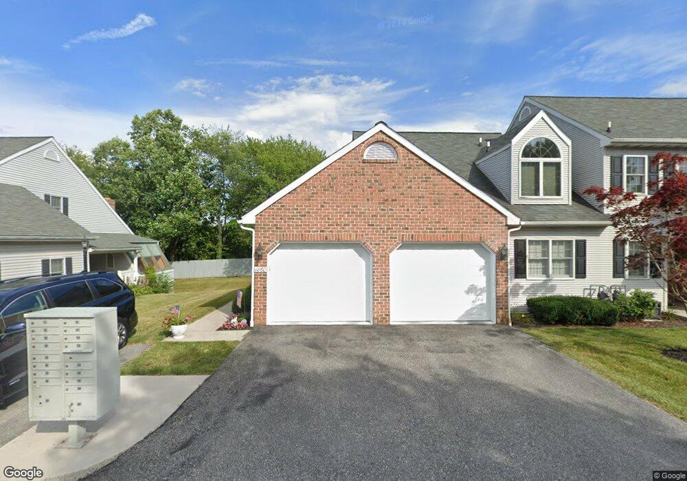
This home is located at 1864 Barley Rd Unit 6, York, PA 17408 and is currently estimated at $238,977, approximately $132 per square foot. 1864 Barley Rd Unit 6 is a home located in York County with nearby schools including West York Area High School, York Adventist Christian School, and Christian School of York.
Ownership History
Date
Name
Owned For
Owner Type
Purchase Details
Closed on
Jul 27, 2001
Sold by
Seidenstricker Neil C and Seidenstricker Karen S
Bought by
Brenneman Donald E and Brenneman Krystal M
Current Estimated Value
Home Financials for this Owner
Home Financials are based on the most recent Mortgage that was taken out on this home.
Original Mortgage
$70,000
Outstanding Balance
$27,286
Interest Rate
7.14%
Estimated Equity
$211,691
Purchase Details
Closed on
Sep 25, 1998
Sold by
Kardos Louis F and Kardos Wanda M
Bought by
Seidenstricker Neil C
Home Financials for this Owner
Home Financials are based on the most recent Mortgage that was taken out on this home.
Original Mortgage
$107,900
Interest Rate
6.87%
Create a Home Valuation Report for This Property
The Home Valuation Report is an in-depth analysis detailing your home's value as well as a comparison with similar homes in the area
Home Values in the Area
Average Home Value in this Area
Purchase History
| Date | Buyer | Sale Price | Title Company |
|---|---|---|---|
| Brenneman Donald E | $122,500 | -- | |
| Seidenstricker Neil C | $119,900 | -- |
Source: Public Records
Mortgage History
| Date | Status | Borrower | Loan Amount |
|---|---|---|---|
| Open | Brenneman Donald E | $70,000 | |
| Previous Owner | Seidenstricker Neil C | $107,900 |
Source: Public Records
Tax History Compared to Growth
Tax History
| Year | Tax Paid | Tax Assessment Tax Assessment Total Assessment is a certain percentage of the fair market value that is determined by local assessors to be the total taxable value of land and additions on the property. | Land | Improvement |
|---|---|---|---|---|
| 2025 | $4,051 | $120,120 | $0 | $120,120 |
| 2024 | $3,949 | $120,120 | $0 | $120,120 |
| 2023 | $3,949 | $120,120 | $0 | $120,120 |
| 2022 | $3,949 | $120,120 | $0 | $120,120 |
| 2021 | $3,829 | $120,120 | $0 | $120,120 |
| 2020 | $3,829 | $120,120 | $0 | $120,120 |
| 2019 | $3,757 | $120,120 | $0 | $120,120 |
| 2018 | $3,727 | $120,120 | $0 | $120,120 |
| 2017 | $3,612 | $120,120 | $0 | $120,120 |
| 2016 | $0 | $120,120 | $0 | $120,120 |
| 2015 | -- | $120,120 | $0 | $120,120 |
| 2014 | -- | $120,120 | $0 | $120,120 |
Source: Public Records
Map
Nearby Homes
- 1945 Normandie Dr
- 1977 Bretton Ln
- 1879 Trolley Rd
- 1965 Niagara Ln
- 2020 Parkton Ln
- 0 Colony Rd
- 2094 Winding Rd
- 1625 Haviland Rd
- 1837 Downing St
- 2200 Parkton Ln
- 2248 Heather Rd
- 2233 Loucks Rd
- 2300 Wyndhurst Ct
- 1031 Willow Ridge Dr
- 103 Winston Dr
- 123 Winston Dr
- 857 Willow Ridge Ct
- 1701 Emerald Ave
- 2381 Sunset Ln
- 2325 Middle St
- 1866 Barley Rd
- 1862 Barley Rd Unit 7
- 1860 Barley Rd Unit 8
- 1844 Barley Rd Unit 10
- 1842 Barley Rd
- 1840 Barley Rd Unit 12
- 1826 Barley Rd Unit 13
- 1824 Barley Rd Unit 14
- 1822 Barley Rd
- 1842 Barley Rd Unit 11
- 1846 Barley Rd Unit 9
- 1876 Barley Rd Unit 1
- 1874 Barley Rd Unit 2
- 1872 Barley Rd
- 1870 Barley Rd Unit 4
- 1915 Stonegate Rd
- 1919 Stonegate Rd
- 1923 Stonegate Rd
- 1918 Bretton Ln
- 1858 Azalea Dr Unit B5