Estimated Value: $474,000 - $694,000
4
Beds
1
Bath
1,680
Sq Ft
$342/Sq Ft
Est. Value
About This Home
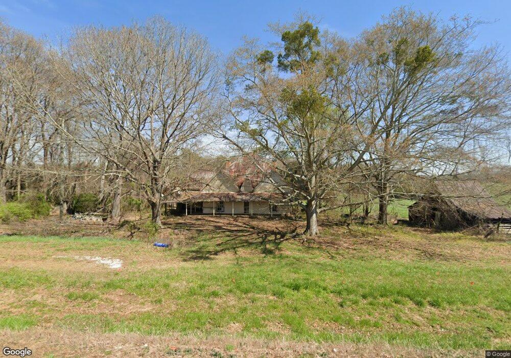
This home is located at 1864 Highway 63, Homer, GA 30547 and is currently estimated at $573,727, approximately $341 per square foot. 1864 Highway 63 is a home located in Banks County with nearby schools including Banks County Primary School, Banks County Elementary School, and Banks County Middle School.
Ownership History
Date
Name
Owned For
Owner Type
Purchase Details
Closed on
Mar 24, 2021
Sold by
Ortiz Evelyn Louise Crane Estate
Bought by
Cannon Parrish Wayne and Cannon Lana
Current Estimated Value
Home Financials for this Owner
Home Financials are based on the most recent Mortgage that was taken out on this home.
Original Mortgage
$319,920
Outstanding Balance
$287,112
Interest Rate
2.9%
Mortgage Type
New Conventional
Estimated Equity
$286,615
Purchase Details
Closed on
Jan 11, 2006
Sold by
Ortiz Salvadore
Bought by
Phagan Chris and Phagan Marie
Create a Home Valuation Report for This Property
The Home Valuation Report is an in-depth analysis detailing your home's value as well as a comparison with similar homes in the area
Home Values in the Area
Average Home Value in this Area
Purchase History
| Date | Buyer | Sale Price | Title Company |
|---|---|---|---|
| Cannon Parrish Wayne | $399,900 | -- | |
| Phagan Chris | $195,500 | -- |
Source: Public Records
Mortgage History
| Date | Status | Borrower | Loan Amount |
|---|---|---|---|
| Open | Cannon Parrish Wayne | $319,920 |
Source: Public Records
Tax History Compared to Growth
Tax History
| Year | Tax Paid | Tax Assessment Tax Assessment Total Assessment is a certain percentage of the fair market value that is determined by local assessors to be the total taxable value of land and additions on the property. | Land | Improvement |
|---|---|---|---|---|
| 2025 | $5,147 | $269,593 | $88,879 | $180,714 |
| 2024 | $5,147 | $253,193 | $80,800 | $172,393 |
| 2023 | $4,989 | $208,893 | $72,931 | $135,962 |
| 2022 | $3,361 | $171,848 | $54,445 | $117,403 |
| 2021 | $3,180 | $162,353 | $54,445 | $107,908 |
| 2020 | $2,422 | $125,647 | $41,561 | $84,086 |
| 2019 | $2,435 | $125,647 | $41,561 | $84,086 |
| 2018 | $2,261 | $116,502 | $41,561 | $74,941 |
| 2017 | $1,714 | $90,166 | $28,663 | $61,503 |
| 2016 | $1,764 | $90,166 | $28,663 | $61,503 |
| 2015 | $2,441 | $90,166 | $28,663 | $61,503 |
| 2014 | $2,441 | $123,763 | $51,936 | $71,827 |
| 2013 | -- | $123,763 | $51,936 | $71,827 |
Source: Public Records
Map
Nearby Homes
- 2090 Southern Seed Way
- 108 Indigo Cir
- 1111 Georgia 63
- 0 Bennett Rd Unit 23200799
- 823 Highway 63
- 2205 Highway 51 N
- 135 Canters Run
- 2100 Westbrook Rd
- 0 Highway 59 Unit 10257590
- 0 Highway 59 Unit 10257605
- 0 Varner Rd
- 14 Kristy Ln
- 164 Greenview Ct
- 168 Greenview Ct
- 152 Charity Dr
- 174 Greenview Ct
- 262 Garrison Rd
- 0 Falcon Ln Unit 10495019
- 0 Falcon Ln Unit 1024877
- 160 Greenview Ct
- 134 Lewis Dr
- 135 Lewis Dr
- 1786 Georgia 63
- 0 Lewis Dr
- 0 Lewis Dr Unit 956949
- 0 Lewis Dr Unit 8054158
- 0 Lewis Dr Unit 8024450
- 0 Lewis Dr Unit 8207722
- 193 Columbus Dr
- 2051 Highway 63
- 305 Lewis Dr
- 2036 Georgia 63 Unit 1
- 2038 Georgia 63 Unit 2
- 0 Columbus Dr Unit 7012083
- 0 Columbus Dr Unit 3128918
- 0 Columbus Dr Unit 9051466
- 0 Columbus Dr Unit 8238689
- 0 Columbus Dr Unit 4004115
- 0 Columbus Dr Unit 4277322
- 0 Columbus Dr Unit 5891714