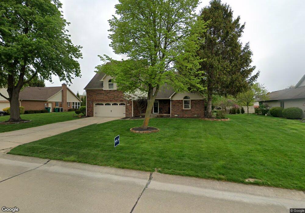
1864 Hillside Dr Franklin, IN 46131
Estimated Value: $342,000 - $427,000
3
Beds
2
Baths
2,142
Sq Ft
$174/Sq Ft
Est. Value
About This Home
This home is located at 1864 Hillside Dr, Franklin, IN 46131 and is currently estimated at $373,697, approximately $174 per square foot. 1864 Hillside Dr is a home located in Johnson County with nearby schools including Needham Elementary School, Franklin Community Middle School, and Custer Baker Intermediate School.
Ownership History
Date
Name
Owned For
Owner Type
Purchase Details
Closed on
Jun 30, 2011
Sold by
Peddycord John B and Peddycord Debra
Bought by
Peddycord Dustin Shane and Peddycord Whitney
Current Estimated Value
Home Financials for this Owner
Home Financials are based on the most recent Mortgage that was taken out on this home.
Original Mortgage
$140,000
Outstanding Balance
$95,496
Interest Rate
4.56%
Mortgage Type
New Conventional
Estimated Equity
$278,201
Create a Home Valuation Report for This Property
The Home Valuation Report is an in-depth analysis detailing your home's value as well as a comparison with similar homes in the area
Home Values in the Area
Average Home Value in this Area
Purchase History
| Date | Buyer | Sale Price | Title Company |
|---|---|---|---|
| Peddycord Dustin Shane | -- | None Available |
Source: Public Records
Mortgage History
| Date | Status | Borrower | Loan Amount |
|---|---|---|---|
| Open | Peddycord Dustin Shane | $140,000 |
Source: Public Records
Tax History Compared to Growth
Tax History
| Year | Tax Paid | Tax Assessment Tax Assessment Total Assessment is a certain percentage of the fair market value that is determined by local assessors to be the total taxable value of land and additions on the property. | Land | Improvement |
|---|---|---|---|---|
| 2025 | $3,106 | $312,400 | $37,900 | $274,500 |
| 2024 | $3,106 | $279,800 | $37,900 | $241,900 |
| 2023 | $3,093 | $278,200 | $37,900 | $240,300 |
| 2022 | $2,932 | $261,500 | $35,100 | $226,400 |
| 2021 | $2,433 | $218,100 | $35,100 | $183,000 |
| 2020 | $2,152 | $193,700 | $35,100 | $158,600 |
| 2019 | $2,152 | $193,700 | $35,100 | $158,600 |
| 2018 | $1,898 | $195,400 | $35,100 | $160,300 |
| 2017 | $1,831 | $182,100 | $35,100 | $147,000 |
| 2016 | $1,782 | $173,000 | $35,100 | $137,900 |
| 2014 | $1,669 | $163,500 | $35,100 | $128,400 |
| 2013 | $1,669 | $166,900 | $35,100 | $131,800 |
Source: Public Records
Map
Nearby Homes
- 1990 Red Oak Dr
- 1083 Beechtree Ln
- 1185 Beechtree Ln
- 1682 Millpond Ln
- 1669 Millpond Ln
- 1646 Millpond Ln
- 1636 Millpond Ln
- 1679 Millpond Ln
- 1690 Millpond Ln
- 1642 Millpond Ln
- 1663 Millpond Ln
- 1640 Millpond Ln
- 1650 Millpond Ln
- 1654 Millpond Ln
- 1660 Millpond Ln
- 1653 Millpond Ln
- 1686 Millpond Ln
- 1630 Millpond Ln
- 1692 Millpond Ln
- 1658 Millpond Ln
- 1854 Hillside Dr
- 1874 Hillside Dr
- 1853 Archies Ct
- 1863 Archies Ct
- 1844 Hillside Dr
- 1884 Hillside Dr
- 1843 Archies Ct
- 1855 Hillside Dr
- 1873 Archies Ct
- 1875 Hillside Dr
- 1845 Hillside Dr
- 1833 Archies Ct
- 1834 Hillside Dr
- 1894 Hillside Dr
- 1885 Hillside Dr
- 1883 Archies Ct
- 1835 Hillside Dr
- 1823 Archies Ct
- 1895 Hillside Dr
- 1862 Archies Ct