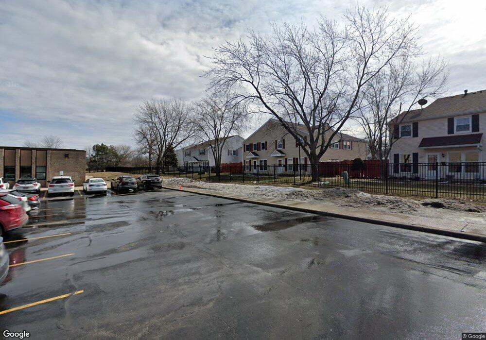
1864 Jamestown Cir Unit 371 Hoffman Estates, IL 60169
South Hoffman Estates NeighborhoodEstimated Value: $174,891 - $229,000
2
Beds
1
Bath
900
Sq Ft
$229/Sq Ft
Est. Value
About This Home
This home is located at 1864 Jamestown Cir Unit 371, Hoffman Estates, IL 60169 and is currently estimated at $205,723, approximately $228 per square foot. 1864 Jamestown Cir Unit 371 is a home located in Cook County with nearby schools including John Muir Literacy Academy, Dwight D Eisenhower Junior High School, and Hoffman Estates High School.
Ownership History
Date
Name
Owned For
Owner Type
Purchase Details
Closed on
Feb 22, 2013
Sold by
Federal Home Loan Mortgage Corporation
Bought by
Wang Zewen and Wang Xiaohong
Current Estimated Value
Purchase Details
Closed on
Nov 11, 2005
Sold by
Zarek Michael A
Bought by
Kacen Michael P
Home Financials for this Owner
Home Financials are based on the most recent Mortgage that was taken out on this home.
Original Mortgage
$118,000
Interest Rate
6.13%
Mortgage Type
Fannie Mae Freddie Mac
Purchase Details
Closed on
Jun 1, 2001
Sold by
Ferguson Theresa L
Bought by
Zarek Michael A
Home Financials for this Owner
Home Financials are based on the most recent Mortgage that was taken out on this home.
Original Mortgage
$102,532
Interest Rate
7.11%
Mortgage Type
FHA
Create a Home Valuation Report for This Property
The Home Valuation Report is an in-depth analysis detailing your home's value as well as a comparison with similar homes in the area
Home Values in the Area
Average Home Value in this Area
Purchase History
| Date | Buyer | Sale Price | Title Company |
|---|---|---|---|
| Wang Zewen | $47,000 | Attorneys Title Guaranty Fun | |
| Kacen Michael P | $147,500 | Marquis Title Company | |
| Zarek Michael A | $105,000 | -- |
Source: Public Records
Mortgage History
| Date | Status | Borrower | Loan Amount |
|---|---|---|---|
| Previous Owner | Kacen Michael P | $118,000 | |
| Previous Owner | Zarek Michael A | $102,532 |
Source: Public Records
Tax History
| Year | Tax Paid | Tax Assessment Tax Assessment Total Assessment is a certain percentage of the fair market value that is determined by local assessors to be the total taxable value of land and additions on the property. | Land | Improvement |
|---|---|---|---|---|
| 2025 | $3,774 | $19,779 | $3,342 | $16,437 |
| 2024 | $3,774 | $12,301 | $3,038 | $9,263 |
| 2023 | $3,653 | $12,301 | $3,038 | $9,263 |
| 2022 | $3,653 | $12,301 | $3,038 | $9,263 |
| 2021 | $3,264 | $9,743 | $4,784 | $4,959 |
| 2020 | $3,188 | $9,743 | $4,784 | $4,959 |
| 2019 | $3,185 | $10,880 | $4,784 | $6,096 |
| 2018 | $2,067 | $6,339 | $4,177 | $2,162 |
| 2017 | $2,030 | $6,339 | $4,177 | $2,162 |
| 2016 | $1,888 | $6,339 | $4,177 | $2,162 |
| 2015 | $1,368 | $4,260 | $3,645 | $615 |
| 2014 | $1,344 | $4,260 | $3,645 | $615 |
| 2013 | $1,310 | $4,260 | $3,645 | $615 |
Source: Public Records
Map
Nearby Homes
- 1834 Jamestown Cir Unit 3114
- 2021 Kensington Ln Unit 3004
- 2027 Kensington Ln Unit 3001
- 2025 Kensington Ln Unit 3002
- 2023 Kensington Ln Unit 3003
- 1836 Stockton Dr Unit 3312
- 1977 Leiter Way Unit 12003
- 1979 Leiter Way Unit 12004
- 1981 Leiter Way Unit 12005
- 1975 Kenilworth Cir Unit B
- 1985 Leiter Way Unit 1102
- 1840 Huntington Blvd Unit BW511
- 1840 Huntington Blvd Unit 203
- 1982 Leiter Way Unit 13004
- 1996 Leiter Way Unit 14002
- 1992 Leiter Way Unit 14004
- 1797 Queensbury Cir Unit 5764
- 1722 Fayette Walk Unit E
- 2004 E Parkview Cir
- 2080 Sutherland Place Unit 1
- 1862 Jamestown Cir Unit 374
- 1860 Jamestown Cir Unit 373
- 1860 Jamestown Cir Unit 1860
- 1866 Jamestown Cir Unit 372
- 1874 Jamestown Cir Unit 364
- 1868 Jamestown Cir Unit 361
- 1872 Jamestown Cir Unit 363
- 1870 Jamestown Cir Unit 362
- 1870 Jamestown Cir Unit 1870
- 1856 Jamestown Cir Unit 383
- 1854 Jamestown Cir Unit 382
- 1854 Jamestown Cir
- 1852 Jamestown Cir Unit 381
- 1858 Jamestown Cir Unit 384
- 1858 Jamestown Cir Unit 1858
- 1865 Jamestown Cir Unit 3203
- 1882 Jamestown Cir Unit 354
- 1876 Jamestown Cir Unit 351
- 1878 Jamestown Cir Unit 352
- 1861 Jamestown Cir Unit 3201
Your Personal Tour Guide
Ask me questions while you tour the home.