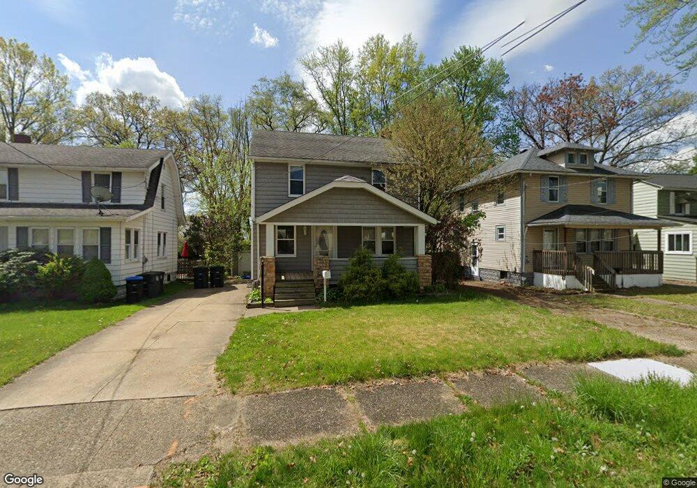
1864 Java Ave Akron, OH 44305
Goodyear Heights NeighborhoodEstimated Value: $108,000 - $137,000
3
Beds
1
Bath
960
Sq Ft
$125/Sq Ft
Est. Value
About This Home
This home is located at 1864 Java Ave, Akron, OH 44305 and is currently estimated at $119,830, approximately $124 per square foot. 1864 Java Ave is a home located in Summit County with nearby schools including Seiberling Community Learning Center, Akron Preparatory school, and Middlebury Academy.
Ownership History
Date
Name
Owned For
Owner Type
Purchase Details
Closed on
Dec 27, 2011
Sold by
Mcmanigal William J and Mcmanigal Laurie
Bought by
Apallo Ltd
Current Estimated Value
Purchase Details
Closed on
Feb 8, 2000
Sold by
Mcmanigal William J
Bought by
Mcmanigal William J and Mcmanigal Laurie
Home Financials for this Owner
Home Financials are based on the most recent Mortgage that was taken out on this home.
Original Mortgage
$57,600
Interest Rate
8.08%
Create a Home Valuation Report for This Property
The Home Valuation Report is an in-depth analysis detailing your home's value as well as a comparison with similar homes in the area
Home Values in the Area
Average Home Value in this Area
Purchase History
| Date | Buyer | Sale Price | Title Company |
|---|---|---|---|
| Apallo Ltd | $10,000 | Bond & Associates Title Agen | |
| Mcmanigal William J | -- | -- |
Source: Public Records
Mortgage History
| Date | Status | Borrower | Loan Amount |
|---|---|---|---|
| Previous Owner | Mcmanigal William J | $57,600 |
Source: Public Records
Tax History
| Year | Tax Paid | Tax Assessment Tax Assessment Total Assessment is a certain percentage of the fair market value that is determined by local assessors to be the total taxable value of land and additions on the property. | Land | Improvement |
|---|---|---|---|---|
| 2024 | $1,548 | $28,022 | $6,227 | $21,795 |
| 2023 | $2,419 | $28,022 | $6,227 | $21,795 |
| 2022 | $1,506 | $21,389 | $4,718 | $16,671 |
| 2021 | $1,507 | $21,389 | $4,718 | $16,671 |
| 2020 | $1,485 | $21,390 | $4,720 | $16,670 |
| 2019 | $1,468 | $19,190 | $4,280 | $14,910 |
| 2018 | $1,449 | $19,190 | $4,280 | $14,910 |
| 2017 | $1,472 | $19,190 | $4,280 | $14,910 |
| 2016 | $1,473 | $19,190 | $4,280 | $14,910 |
| 2015 | $1,472 | $19,190 | $4,280 | $14,910 |
| 2014 | $1,460 | $19,190 | $4,280 | $14,910 |
| 2013 | $1,347 | $18,010 | $4,280 | $13,730 |
Source: Public Records
Map
Nearby Homes
- 248 Malacca St
- 1820 Malasia Rd
- 291 Malacca St
- 204 Morningview Ave
- 295 Goodview Ave
- 250 Morningview Ave
- 1874 Adelaide Blvd
- 365 Larkin Ave
- 20 Verdun Dr
- 425 Frazier Ave
- 475 Sullivan Ave
- 1603 Hampton Rd
- 2258 Mogadore Rd
- 1584 Hampton Rd
- 82 Dellenberger Ave
- 514 Tompkins Ave
- 1551 Preston Ave
- 2269 Emerald Dr
- 1591 Pilgrim St
- 1578 Pilgrim St
Your Personal Tour Guide
Ask me questions while you tour the home.