1864 Parish Hwy Charlotte, MI 48813
Estimated Value: $147,000 - $251,000
--
Bed
--
Bath
768
Sq Ft
$238/Sq Ft
Est. Value
About This Home
This home is located at 1864 Parish Hwy, Charlotte, MI 48813 and is currently estimated at $182,453, approximately $237 per square foot. 1864 Parish Hwy is a home located in Eaton County with nearby schools including Washington Elementary School, Charlotte Middle School, and Charlotte Upper Elementary School.
Ownership History
Date
Name
Owned For
Owner Type
Purchase Details
Closed on
Jun 26, 2018
Sold by
Brenda J Hoeve Trust
Bought by
Zapata Kyle B
Current Estimated Value
Home Financials for this Owner
Home Financials are based on the most recent Mortgage that was taken out on this home.
Original Mortgage
$60,000
Outstanding Balance
$52,114
Interest Rate
4.6%
Mortgage Type
Commercial
Estimated Equity
$130,339
Create a Home Valuation Report for This Property
The Home Valuation Report is an in-depth analysis detailing your home's value as well as a comparison with similar homes in the area
Home Values in the Area
Average Home Value in this Area
Purchase History
| Date | Buyer | Sale Price | Title Company |
|---|---|---|---|
| Zapata Kyle B | $77,500 | Ata National Title Group |
Source: Public Records
Mortgage History
| Date | Status | Borrower | Loan Amount |
|---|---|---|---|
| Open | Zapata Kyle B | $60,000 |
Source: Public Records
Tax History Compared to Growth
Tax History
| Year | Tax Paid | Tax Assessment Tax Assessment Total Assessment is a certain percentage of the fair market value that is determined by local assessors to be the total taxable value of land and additions on the property. | Land | Improvement |
|---|---|---|---|---|
| 2025 | $1,871 | $70,600 | $0 | $0 |
| 2024 | $693 | $66,700 | $0 | $0 |
| 2023 | $660 | $60,900 | $0 | $0 |
| 2022 | $1,651 | $58,150 | $0 | $0 |
| 2021 | $1,581 | $54,250 | $0 | $0 |
| 2020 | $1,584 | $55,600 | $0 | $0 |
| 2019 | $1,577 | $55,100 | $0 | $0 |
| 2018 | $1,064 | $57,300 | $0 | $0 |
| 2017 | $1,698 | $56,650 | $0 | $0 |
| 2016 | -- | $53,650 | $0 | $0 |
| 2015 | -- | $51,800 | $0 | $0 |
| 2014 | -- | $35,633 | $0 | $0 |
| 2013 | -- | $52,300 | $0 | $0 |
Source: Public Records
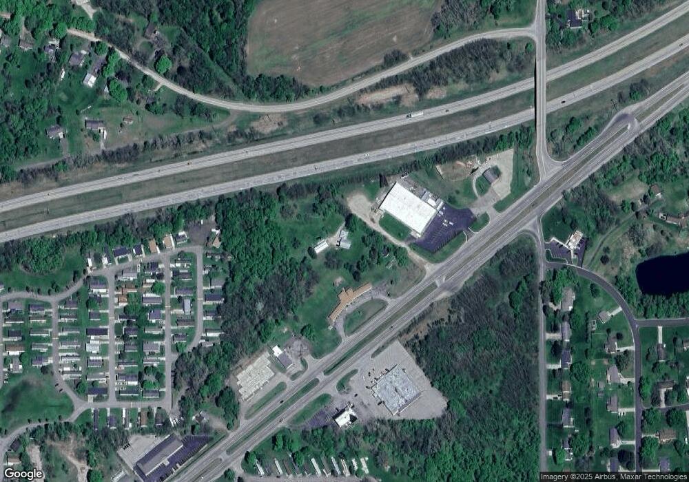
Map
Nearby Homes
- 1761 Lansing Rd
- 1877 Packard Hwy
- 3215 E Crandell Dr Unit 2932
- 3341 Fieldberry Ln
- 0 Nicholas Ln
- 1470 Nicholas Ln
- 1470 Nicholas Ln Unit 13
- 0 Packard Hwy
- 1099 Fairview Hwy
- 1176 Maple Leaf Ct
- 884 Ottawa Ct Unit 7
- 2468 Lansing Rd
- 882 Island Hwy
- 938 N Cochran Ave
- 0 E Kinsel Hwy Unit 20251030636
- 429 Sumpter St
- 138 Canterbury Dr
- 428 N Washington St
- 922 High St
- 318 N Cochran Ave
- 1950 Parish Hwy
- 1989 Lansing Rd
- 1820 Lansing Rd
- 1749 Lansing Rd
- 0 Otto Rd
- 1356 Otto Rd
- 1334 Otto Rd
- 1540 Fairview Hwy
- 1589 Fairview Hwy
- 1308 Otto Rd
- V/L Otto Rd
- 1520 Fairview Hwy
- 1333 Brentwood Rd
- 1286 Otto Rd
- 1699 Lansing Rd
- 1321 Brentwood Rd
- 1262 Otto Rd
- 1297 Brentwood Rd
- 1601 Otto Rd
- 1238 Otto Rd