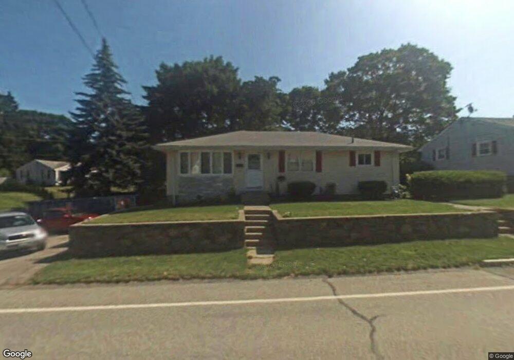
1864 Read St Somerset, MA 02726
Brayton Point NeighborhoodEstimated Value: $448,000 - $565,000
3
Beds
1
Bath
1,154
Sq Ft
$432/Sq Ft
Est. Value
About This Home
This home is located at 1864 Read St, Somerset, MA 02726 and is currently estimated at $498,221, approximately $431 per square foot. 1864 Read St is a home located in Bristol County with nearby schools including South Elementary School, Somerset Middle School, and Swansea Wood School.
Ownership History
Date
Name
Owned For
Owner Type
Purchase Details
Closed on
Oct 18, 2007
Sold by
Barboza Carrie A and Cox Carrie Anne
Bought by
Cox Carrie Anne and Cox William E
Current Estimated Value
Home Financials for this Owner
Home Financials are based on the most recent Mortgage that was taken out on this home.
Original Mortgage
$25,000
Outstanding Balance
$15,780
Interest Rate
6.51%
Estimated Equity
$482,441
Purchase Details
Closed on
May 1, 2003
Sold by
Farias Donald
Bought by
Barboza Carrie A
Home Financials for this Owner
Home Financials are based on the most recent Mortgage that was taken out on this home.
Original Mortgage
$208,000
Interest Rate
5.82%
Mortgage Type
Purchase Money Mortgage
Create a Home Valuation Report for This Property
The Home Valuation Report is an in-depth analysis detailing your home's value as well as a comparison with similar homes in the area
Home Values in the Area
Average Home Value in this Area
Purchase History
| Date | Buyer | Sale Price | Title Company |
|---|---|---|---|
| Cox Carrie Anne | -- | -- | |
| Cox Carrie Anne | -- | -- | |
| Cox Carrie Anne | -- | -- | |
| Barboza Carrie A | $215,000 | -- | |
| Barboza Carrie A | $15,000 | -- | |
| Barboza Carrie A | $215,000 | -- |
Source: Public Records
Mortgage History
| Date | Status | Borrower | Loan Amount |
|---|---|---|---|
| Open | Cox Carrie Anne | $25,000 | |
| Closed | Barboza Carrie A | $25,000 | |
| Previous Owner | Barboza Carrie A | $208,000 |
Source: Public Records
Tax History
| Year | Tax Paid | Tax Assessment Tax Assessment Total Assessment is a certain percentage of the fair market value that is determined by local assessors to be the total taxable value of land and additions on the property. | Land | Improvement |
|---|---|---|---|---|
| 2025 | $5,506 | $414,000 | $191,100 | $222,900 |
| 2024 | $5,181 | $405,100 | $191,100 | $214,000 |
| 2023 | $4,575 | $360,800 | $166,400 | $194,400 |
| 2022 | $4,240 | $319,000 | $145,000 | $174,000 |
| 2021 | $4,284 | $291,800 | $131,900 | $159,900 |
| 2020 | $4,287 | $281,700 | $131,900 | $149,800 |
| 2019 | $4,920 | $269,600 | $131,900 | $137,700 |
| 2018 | $4,281 | $252,400 | $131,900 | $120,500 |
| 2017 | $4,183 | $240,400 | $125,900 | $114,500 |
| 2016 | $4,209 | $240,400 | $125,900 | $114,500 |
| 2015 | $3,938 | $227,000 | $123,900 | $103,100 |
| 2014 | $5,639 | $233,500 | $123,900 | $109,600 |
Source: Public Records
Map
Nearby Homes
- 90 Evergreen Ave
- 992 Lees River Ave
- 24 Front St
- 90 Elm St
- 34 Base Lodge Ln
- 131 Chateau Dr
- 766 Lees River Ave
- 675 Lees River Ave
- 700 Lees River Ave Unit 15
- 197 Alberta Ave
- 33 Rhinecliffe Rd
- 115 River Rd
- 0 Hortonville Rd Unit 73464143
- 30 Tennyson Dr
- 1706 Brayton Point Rd
- 53 Lindsey Ln
- 35 Randall Ave
- 0 Milne Ave (Ns)
- 162 Wilbur Ave
- 19 Keller Ave
Your Personal Tour Guide
Ask me questions while you tour the home.