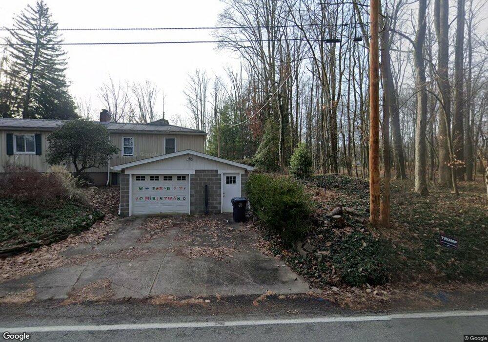
1864 Ridge Rd Jeannette, PA 15644
Penn Township NeighborhoodEstimated Value: $223,000 - $325,965
2
Beds
2
Baths
1,296
Sq Ft
$212/Sq Ft
Est. Value
About This Home
This home is located at 1864 Ridge Rd, Jeannette, PA 15644 and is currently estimated at $274,991, approximately $212 per square foot. 1864 Ridge Rd is a home located in Westmoreland County with nearby schools including Penn Trafford High School and Open Door Christian Academy.
Ownership History
Date
Name
Owned For
Owner Type
Purchase Details
Closed on
Jan 7, 2005
Sold by
Patch Amy A and Patch William E
Bought by
Lakatosh David and Lakatosh Roberta
Current Estimated Value
Home Financials for this Owner
Home Financials are based on the most recent Mortgage that was taken out on this home.
Original Mortgage
$124,000
Outstanding Balance
$62,606
Interest Rate
5.75%
Mortgage Type
Unknown
Estimated Equity
$212,385
Purchase Details
Closed on
Feb 22, 2002
Sold by
Tamasy Martin A and Tamasy Lori C
Bought by
Gomish Amy A
Home Financials for this Owner
Home Financials are based on the most recent Mortgage that was taken out on this home.
Original Mortgage
$118,750
Interest Rate
6.85%
Create a Home Valuation Report for This Property
The Home Valuation Report is an in-depth analysis detailing your home's value as well as a comparison with similar homes in the area
Home Values in the Area
Average Home Value in this Area
Purchase History
| Date | Buyer | Sale Price | Title Company |
|---|---|---|---|
| Lakatosh David | $155,000 | -- | |
| Gomish Amy A | $125,000 | -- |
Source: Public Records
Mortgage History
| Date | Status | Borrower | Loan Amount |
|---|---|---|---|
| Open | Lakatosh David | $124,000 | |
| Previous Owner | Gomish Amy A | $118,750 | |
| Closed | Lakatosh David | $31,000 |
Source: Public Records
Tax History Compared to Growth
Tax History
| Year | Tax Paid | Tax Assessment Tax Assessment Total Assessment is a certain percentage of the fair market value that is determined by local assessors to be the total taxable value of land and additions on the property. | Land | Improvement |
|---|---|---|---|---|
| 2025 | $2,524 | $18,430 | $2,780 | $15,650 |
| 2024 | $2,505 | $18,430 | $2,780 | $15,650 |
| 2023 | $2,376 | $18,430 | $2,780 | $15,650 |
| 2022 | $2,349 | $16,020 | $2,780 | $13,240 |
| 2021 | $2,026 | $16,020 | $2,780 | $13,240 |
| 2020 | $2,010 | $16,020 | $2,780 | $13,240 |
| 2019 | $1,961 | $16,020 | $2,780 | $13,240 |
| 2018 | $1,905 | $16,020 | $2,780 | $13,240 |
| 2017 | $1,857 | $16,020 | $2,780 | $13,240 |
| 2016 | $1,803 | $16,020 | $2,780 | $13,240 |
| 2015 | $1,803 | $16,020 | $2,780 | $13,240 |
| 2014 | $1,771 | $16,020 | $2,780 | $13,240 |
Source: Public Records
Map
Nearby Homes
- 1812 Ridge Rd
- 645 Old State Route 66
- 551 Poplar Dr
- 5004 Wellington Ct
- 2002 Callaway Dr
- 6 Worthy Ln
- 2024 Bushy Run Rd
- 000 Harrold St
- 1014 N 4th St
- 1019 Arlington Ave
- 100 Kifer Rd
- 14 and 16 Theodore Dr
- 00 Harrold St (Parcel B)
- 182 Palm Ct
- 3041 Riverside Dr
- 819 N 2nd St
- 0 Zimmerman St
- 812 Ellsworth Ave
- 127 Woodhaven Dr
- 3168 Main St