Estimated Value: $230,000 - $317,000
3
Beds
2
Baths
1,204
Sq Ft
$231/Sq Ft
Est. Value
About This Home
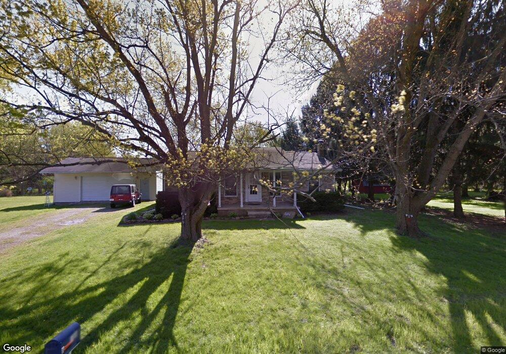
This home is located at 1864 Roberta Dr, Heath, OH 43056 and is currently estimated at $278,569, approximately $231 per square foot. 1864 Roberta Dr is a home located in Licking County with nearby schools including Jackson Intermediate School, Lakewood Middle School, and Lakewood High School.
Ownership History
Date
Name
Owned For
Owner Type
Purchase Details
Closed on
Aug 23, 2016
Sold by
Amerus Financial Corp
Bought by
Ables John T
Current Estimated Value
Purchase Details
Closed on
Oct 15, 2003
Sold by
Hud
Bought by
Beech Ronald E and Beech Linda L
Purchase Details
Closed on
May 30, 2000
Sold by
Bianchini M Richard
Bought by
Brock Edward N and Brock Judith L
Home Financials for this Owner
Home Financials are based on the most recent Mortgage that was taken out on this home.
Original Mortgage
$117,440
Interest Rate
8.13%
Mortgage Type
FHA
Purchase Details
Closed on
Nov 14, 1995
Sold by
Walker Fred E
Bought by
Bianchini Richard M and Bianchini Leisa N
Home Financials for this Owner
Home Financials are based on the most recent Mortgage that was taken out on this home.
Original Mortgage
$73,400
Interest Rate
7.7%
Mortgage Type
New Conventional
Create a Home Valuation Report for This Property
The Home Valuation Report is an in-depth analysis detailing your home's value as well as a comparison with similar homes in the area
Purchase History
| Date | Buyer | Sale Price | Title Company |
|---|---|---|---|
| Ables John T | -- | None Available | |
| Beech Ronald E | $70,051 | Lakeside Title & Escrow Agen | |
| Brock Edward N | $117,500 | -- | |
| Bianchini Richard M | $78,000 | -- |
Source: Public Records
Mortgage History
| Date | Status | Borrower | Loan Amount |
|---|---|---|---|
| Previous Owner | Brock Edward N | $117,440 | |
| Previous Owner | Bianchini Richard M | $73,400 |
Source: Public Records
Tax History
| Year | Tax Paid | Tax Assessment Tax Assessment Total Assessment is a certain percentage of the fair market value that is determined by local assessors to be the total taxable value of land and additions on the property. | Land | Improvement |
|---|---|---|---|---|
| 2024 | $2,263 | $70,010 | $15,790 | $54,220 |
| 2023 | $2,294 | $70,010 | $15,790 | $54,220 |
| 2022 | $1,885 | $51,770 | $9,100 | $42,670 |
| 2021 | $1,943 | $51,770 | $9,100 | $42,670 |
| 2020 | $1,946 | $51,770 | $9,100 | $42,670 |
| 2019 | $1,589 | $41,730 | $7,600 | $34,130 |
| 2018 | $1,606 | $0 | $0 | $0 |
| 2017 | $1,924 | $0 | $0 | $0 |
| 2016 | $2,385 | $0 | $0 | $0 |
| 2015 | $2,243 | $0 | $0 | $0 |
| 2014 | $1,690 | $0 | $0 | $0 |
| 2013 | $3,217 | $0 | $0 | $0 |
Source: Public Records
Map
Nearby Homes
- 2453 Ryan Rd
- 605 Turning Leaf Ln
- 105 Clark Ave
- 1094 Aldine Dr
- 225 Pleasant Lee Dr
- 1285 Bluejack Ln
- 381 Laurel Oaks Ln
- 6281 Davis Dr
- 1100 Thornwood Dr Unit Lot 1005
- 1100 Thornwood Dr SW Unit 1018
- 1100 Thornwood Dr SW Unit Lot 58
- 1100 Thornwood Dr SW Unit Lot 1008
- 944 Fieldson Dr
- 399 Laurel Oaks Ln Unit Lot 131
- 403 Laurel Oaks Ln Unit Lot 132
- 602 Deanna Stroll Rd
- 625 Fulla Ln SE
- 274 Rodney Ln SE
- 2241 Seminary Rd SE
- 3224 Hebron Rd
Your Personal Tour Guide
Ask me questions while you tour the home.