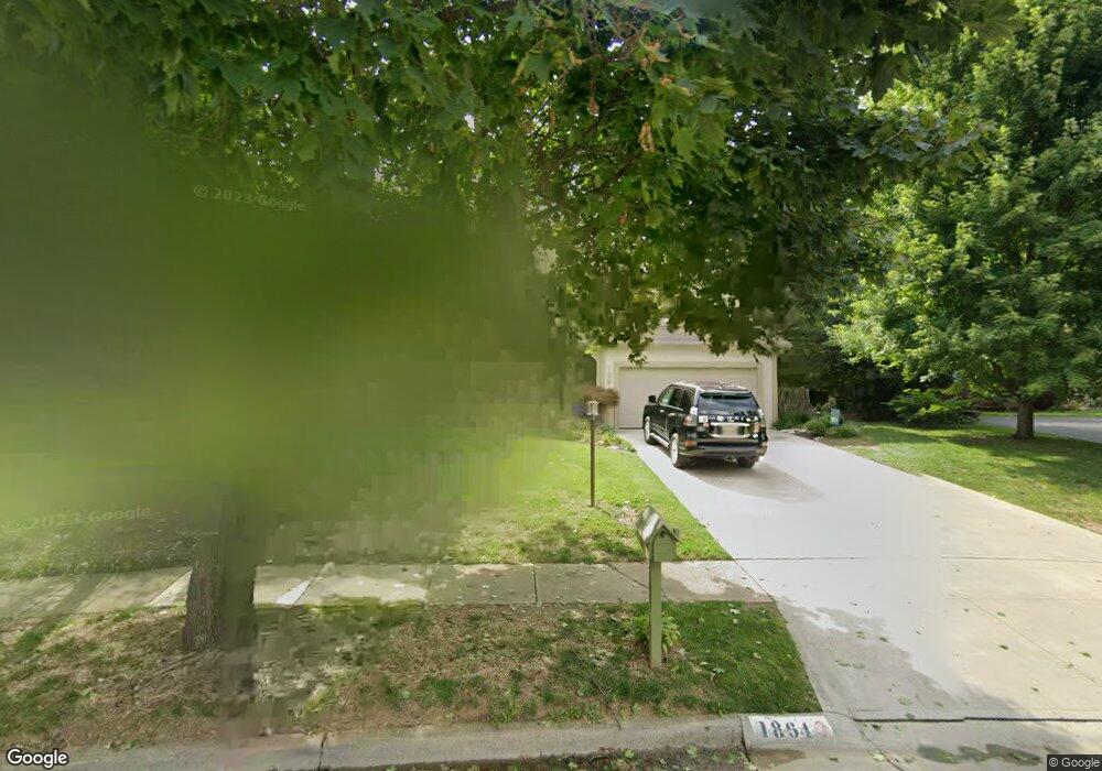
1864 Scottsdale Ave Columbus, OH 43235
Estimated Value: $456,236 - $503,000
4
Beds
3
Baths
2,439
Sq Ft
$195/Sq Ft
Est. Value
About This Home
This home is located at 1864 Scottsdale Ave, Columbus, OH 43235 and is currently estimated at $476,559, approximately $195 per square foot. 1864 Scottsdale Ave is a home located in Franklin County with nearby schools including Gables Elementary School, Ridgeview Middle School, and Centennial High School.
Ownership History
Date
Name
Owned For
Owner Type
Purchase Details
Closed on
Sep 8, 2003
Sold by
Odorisio Nathan
Bought by
Odorisio Nathan and Odorisio Elizabeth K
Current Estimated Value
Home Financials for this Owner
Home Financials are based on the most recent Mortgage that was taken out on this home.
Original Mortgage
$160,500
Interest Rate
6.44%
Mortgage Type
Purchase Money Mortgage
Purchase Details
Closed on
Oct 1, 1999
Sold by
Odorisio Thomas M and Odorisio Mary S
Bought by
Odorisio Nathan
Home Financials for this Owner
Home Financials are based on the most recent Mortgage that was taken out on this home.
Original Mortgage
$141,773
Interest Rate
8.21%
Mortgage Type
Seller Take Back
Purchase Details
Closed on
Nov 8, 1978
Bought by
Odorisio Thomas M
Create a Home Valuation Report for This Property
The Home Valuation Report is an in-depth analysis detailing your home's value as well as a comparison with similar homes in the area
Home Values in the Area
Average Home Value in this Area
Purchase History
| Date | Buyer | Sale Price | Title Company |
|---|---|---|---|
| Odorisio Nathan | -- | -- | |
| Odorisio Nathan | $160,000 | Lawyers Title | |
| Odorisio Thomas M | -- | -- |
Source: Public Records
Mortgage History
| Date | Status | Borrower | Loan Amount |
|---|---|---|---|
| Closed | Odorisio Nathan | $160,500 | |
| Closed | Odorisio Nathan | $141,773 |
Source: Public Records
Tax History Compared to Growth
Tax History
| Year | Tax Paid | Tax Assessment Tax Assessment Total Assessment is a certain percentage of the fair market value that is determined by local assessors to be the total taxable value of land and additions on the property. | Land | Improvement |
|---|---|---|---|---|
| 2024 | $5,986 | $133,390 | $42,000 | $91,390 |
| 2023 | $5,910 | $133,385 | $42,000 | $91,385 |
| 2022 | $5,341 | $102,980 | $27,900 | $75,080 |
| 2021 | $5,351 | $102,980 | $27,900 | $75,080 |
| 2020 | $5,315 | $102,170 | $27,900 | $74,270 |
| 2019 | $4,888 | $80,570 | $22,330 | $58,240 |
| 2018 | $4,759 | $80,570 | $22,330 | $58,240 |
| 2017 | $4,885 | $80,570 | $22,330 | $58,240 |
| 2016 | $5,113 | $77,180 | $20,760 | $56,420 |
| 2015 | $4,641 | $77,180 | $20,760 | $56,420 |
| 2014 | $4,652 | $77,180 | $20,760 | $56,420 |
| 2013 | $2,186 | $73,500 | $19,775 | $53,725 |
Source: Public Records
Map
Nearby Homes
- 5624 Wigmore Dr Unit 50B
- 2229 Teardrop Ave Unit 35E
- 2179 Victoria Park Dr Unit 2179
- 2260 Lila Way Unit 62D
- 1540 Slade Ave Unit 303
- 2265 Teardrop Ave Unit 39C
- 2236 Victoria Park Dr Unit 2236
- 5268 Captains Ct
- 2172 Hedgerow Rd Unit 2172G
- 5363 Godown Rd
- 5111 Schuylkill St
- 5111 Portland St
- 5283 Ruthton Rd Unit 19
- 1739 Paula Dr Unit 1739
- 2527 Maxim Ln Unit 40D
- 2522 Gardenia Dr Unit 16C
- 1558 Denbigh Dr
- 1297 Slade Ave
- 1284 Slade Ave
- 1865 Willoway Cir N Unit 1865
- 1868 Scottsdale Ave
- 1860 Scottsdale Ave
- 5574 Ramblewood Ct
- 5584 Ramblewood Ct
- 5566 Ramblewood Ct
- 1876 Scottsdale Ave
- 5596 Ramblewood Ct
- 1855 Scottsdale Ave
- 1856 Scottsdale Ave
- 1888 Ramblewood Ave
- 1852 Ramblewood Ave
- 5602 Ramblewood Ct
- 1848 Scottsdale Ave
- 1842 Ramblewood Ave
- 1837 Scottsdale Ave
- 1917 Fraley Dr
- 5614 Ramblewood Ct
- 5567 Ramblewood Ct
- 1840 Scottsdale Ave
- 5599 Ramblewood Ct