1864 Sherman Hill Rd NW Poulsbo, WA 98370
Estimated Value: $802,000 - $1,001,000
2
Beds
3
Baths
2,108
Sq Ft
$431/Sq Ft
Est. Value
About This Home
This home is located at 1864 Sherman Hill Rd NW, Poulsbo, WA 98370 and is currently estimated at $908,869, approximately $431 per square foot. 1864 Sherman Hill Rd NW is a home located in Kitsap County with nearby schools including Hilder Pearson Elementary School, Poulsbo Middle School, and North Kitsap High School.
Ownership History
Date
Name
Owned For
Owner Type
Purchase Details
Closed on
Feb 26, 2018
Sold by
Wieland Robert P and Wieland Rhonda C
Bought by
Sweeney Paul G and Sweeney Cheryl W
Current Estimated Value
Home Financials for this Owner
Home Financials are based on the most recent Mortgage that was taken out on this home.
Original Mortgage
$453,100
Outstanding Balance
$385,092
Interest Rate
4.04%
Mortgage Type
New Conventional
Estimated Equity
$523,777
Purchase Details
Closed on
Sep 22, 2015
Sold by
Powell Charlotte M
Bought by
Wieland Robert P and Wieland Rhonda C
Home Financials for this Owner
Home Financials are based on the most recent Mortgage that was taken out on this home.
Original Mortgage
$344,000
Interest Rate
3.9%
Mortgage Type
New Conventional
Create a Home Valuation Report for This Property
The Home Valuation Report is an in-depth analysis detailing your home's value as well as a comparison with similar homes in the area
Home Values in the Area
Average Home Value in this Area
Purchase History
| Date | Buyer | Sale Price | Title Company |
|---|---|---|---|
| Sweeney Paul G | $594,950 | Pacific Northwest Title | |
| Wieland Robert P | $430,000 | Pacific Nw Title |
Source: Public Records
Mortgage History
| Date | Status | Borrower | Loan Amount |
|---|---|---|---|
| Open | Sweeney Paul G | $453,100 | |
| Previous Owner | Wieland Robert P | $344,000 |
Source: Public Records
Tax History Compared to Growth
Tax History
| Year | Tax Paid | Tax Assessment Tax Assessment Total Assessment is a certain percentage of the fair market value that is determined by local assessors to be the total taxable value of land and additions on the property. | Land | Improvement |
|---|---|---|---|---|
| 2026 | $7,459 | $844,460 | $245,630 | $598,830 |
| 2025 | $7,459 | $844,460 | $245,630 | $598,830 |
| 2024 | $7,415 | $867,790 | $254,870 | $612,920 |
| 2023 | $7,537 | $867,790 | $254,870 | $612,920 |
| 2022 | $6,429 | $701,760 | $212,390 | $489,370 |
| 2021 | $6,233 | $628,980 | $190,300 | $438,680 |
| 2020 | $6,051 | $601,480 | $181,810 | $419,670 |
| 2019 | $5,694 | $564,240 | $169,910 | $394,330 |
| 2018 | $5,454 | $462,920 | $154,280 | $308,640 |
| 2017 | $5,238 | $462,920 | $154,280 | $308,640 |
| 2016 | $5,318 | $432,670 | $154,280 | $278,390 |
| 2015 | $5,283 | $432,670 | $154,280 | $278,390 |
| 2014 | -- | $418,710 | $154,280 | $264,430 |
| 2013 | -- | $418,710 | $154,280 | $264,430 |
Source: Public Records
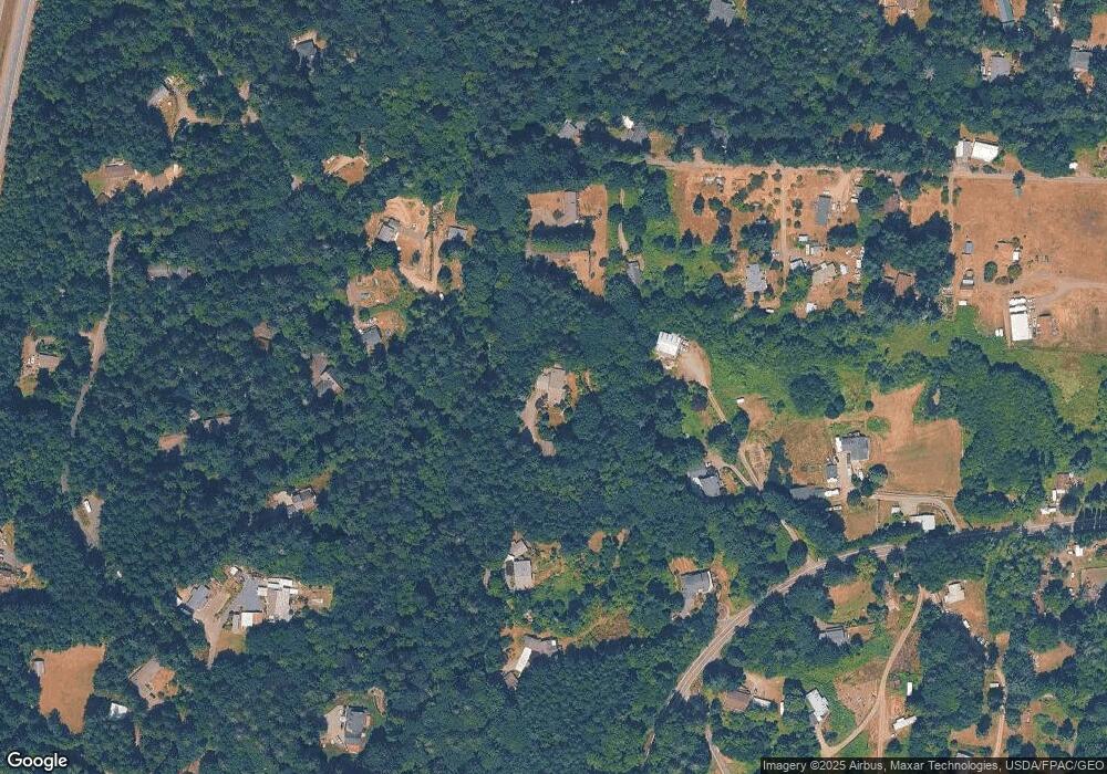
Map
Nearby Homes
- 961 NW Norfinn Ln
- 0 Washington 3
- 19301 Viking Ave NW
- 17711 Viking Way NW
- 19545 Laurene Ln NW
- 17680 Hallman Rd NW
- 17 Beargrass Ln NE
- 32 NE Sunset St
- 19531 Front St NE
- 21601 Viking Ave NW
- 17602 NE Midnight Sun Loop
- 123 NE Whimbrel Ln
- 21133 Viking Ave NW
- 18637 Fjord Dr NE
- 16214 Bay Ridge Dr NW
- 19463 Scoter Ln NE
- 493 NE Lincoln Rd
- 100 NE Peterson St
- 19554 Jensen Way NE
- 3021 NW Beth Ln
- 1864 NW Sherman Hill Rd
- 18110 Owls Trail NW
- 1188 NW Sherman Hill Rd
- 1176 NW Sherman Hill Rd
- 1229 NW Brite Star Ln
- 1180 Sherman Hill Rd NW
- 1188 Sherman Hill Rd NW
- 1169 NW Brite Star Ln
- 18082 Owls Trail NW
- 1972 Ptarmigan Ln NW
- 1201 NW Brite Star Ln
- 1195 NW Brite Star Ln
- 1942 Ptarmigan Ln NW
- 1151 NW Brite Star Ln
- 1978 Ptarmigan Ln NW
- 1838 Sherman Hill Rd NW
- 1200 NW Brite Star Ln
- 1922 Ptarmigan Ln NW
- 1170 NW Brite Star Ln
- 1158 Sherman Hill Rd NW