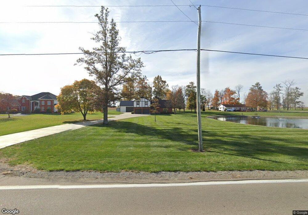
1864 State Route 119 Minster, OH 45865
Estimated Value: $470,000 - $526,000
3
Beds
2
Baths
2,824
Sq Ft
$173/Sq Ft
Est. Value
About This Home
This home is located at 1864 State Route 119, Minster, OH 45865 and is currently estimated at $489,436, approximately $173 per square foot. 1864 State Route 119 is a home located in Auglaize County with nearby schools including Minster Elementary School and Minster Junior/Senior High School.
Ownership History
Date
Name
Owned For
Owner Type
Purchase Details
Closed on
May 31, 2024
Sold by
Albers James B and Albers Patricia L
Bought by
Albers James B and Albers Patricia L
Current Estimated Value
Purchase Details
Closed on
Apr 12, 2016
Sold by
Albers James B and Albers Patricia L
Bought by
Albers James B and Albers Patricia L
Create a Home Valuation Report for This Property
The Home Valuation Report is an in-depth analysis detailing your home's value as well as a comparison with similar homes in the area
Home Values in the Area
Average Home Value in this Area
Purchase History
| Date | Buyer | Sale Price | Title Company |
|---|---|---|---|
| Albers James B | -- | None Listed On Document | |
| Albers James B | -- | None Listed On Document | |
| Albers James B | -- | Attorney |
Source: Public Records
Tax History Compared to Growth
Tax History
| Year | Tax Paid | Tax Assessment Tax Assessment Total Assessment is a certain percentage of the fair market value that is determined by local assessors to be the total taxable value of land and additions on the property. | Land | Improvement |
|---|---|---|---|---|
| 2024 | $8,329 | $119,890 | $15,960 | $103,930 |
| 2023 | $3,768 | $119,890 | $15,960 | $103,930 |
| 2022 | $3,673 | $108,110 | $14,500 | $93,610 |
| 2021 | $3,764 | $108,110 | $14,500 | $93,610 |
| 2020 | $1,929 | $108,115 | $14,504 | $93,611 |
| 2019 | $3,462 | $93,563 | $12,541 | $81,022 |
| 2018 | $3,462 | $93,563 | $12,541 | $81,022 |
| 2017 | $3,210 | $93,563 | $12,541 | $81,022 |
| 2016 | $2,826 | $81,589 | $11,708 | $69,881 |
| 2015 | $2,691 | $79,356 | $9,475 | $69,881 |
| 2014 | $2,697 | $79,356 | $9,475 | $69,881 |
| 2013 | $1,429 | $79,356 | $9,475 | $69,881 |
Source: Public Records
Map
Nearby Homes
- 47 N Frankfort St
- 17 Stonegate Dr
- 0 Stonegate Dr Unit 21 10544857
- 0 Stonegate Dr Unit 14 10544847
- 36 Shania Place Unit 23
- 27 Shania Place Unit 26
- 19 Shania Place Unit 33
- 28 Shania Place Unit 33
- 11 Shania Place Unit 28
- 561 S Walnut St Unit Lot3
- 323 Margaret St
- 319 Margaret St
- 316 Margaret St
- 312 Margaret St
- 193 N Paris St
- 416 E Plum St
- 420 E Plum St
- 424 E Plum St
- 2102 Thobe Ln
- 2109 Thobe Ln
- 1912 State Route 119
- 1834 State Route 119
- 1942 State Route 119
- 1814 State Route 119
- 3967 Tri Township Rd
- 3939 Tri Township Rd
- 3833 Tri Township Rd
- 3746 Tri Township Rd
- 2029 Green Timber Trail
- 2081 Green Timber Trail
- 1768 State Route 119
- 2125 Green Timber Trail
- 1467 State Route 119
- 2173 Green Timber Trail
- 2209 Green Timber Trail
- 4428 Tri Township Rd
- 1320 State Route 119
- 4492 Tri Township Rd
- 1291 State Route 119
- 4532 Tri Township Rd