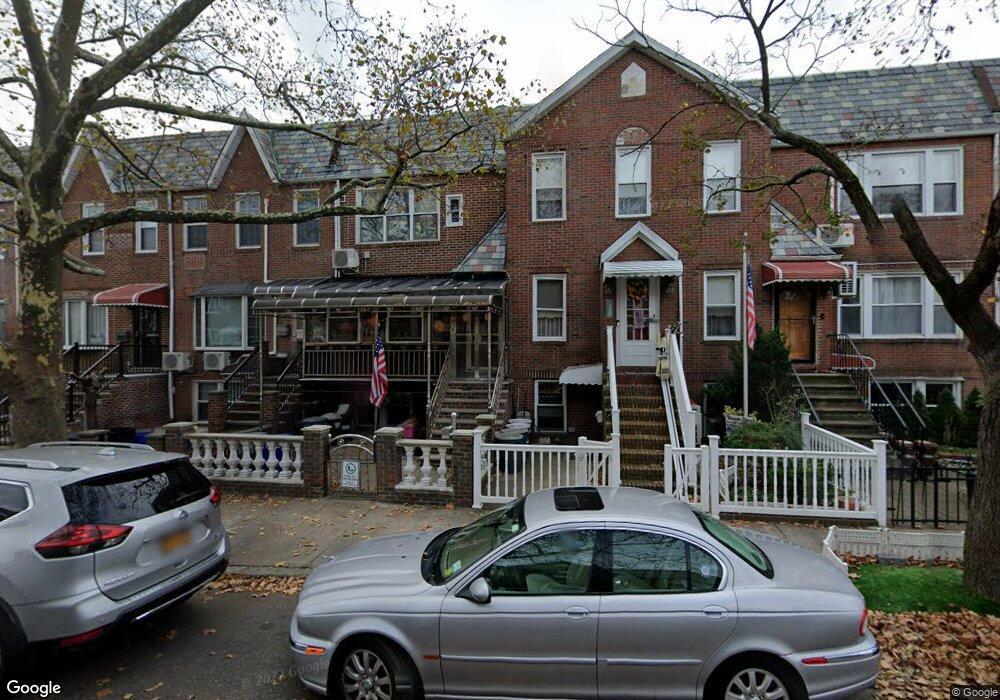
1864 Stuart St Brooklyn, NY 11229
Marine Park NeighborhoodEstimated Value: $873,695 - $937,000
Studio
--
Bath
1,890
Sq Ft
$479/Sq Ft
Est. Value
About This Home
This home is located at 1864 Stuart St, Brooklyn, NY 11229 and is currently estimated at $905,674, approximately $479 per square foot. 1864 Stuart St is a home located in Kings County with nearby schools including PS 222 Katherine R Snyder, J.H.S. 278 Marine Park, and James Madison High School.
Ownership History
Date
Name
Owned For
Owner Type
Purchase Details
Closed on
Aug 24, 2015
Sold by
Leung Yuk Wah and Yau Elkei Mei
Bought by
Leung Fiona Tuen Ki and Leung Yuk Wah
Current Estimated Value
Purchase Details
Closed on
May 18, 2006
Sold by
Savino Thomas
Bought by
Leung Yuk Wah and Yau Elkei Mei
Home Financials for this Owner
Home Financials are based on the most recent Mortgage that was taken out on this home.
Original Mortgage
$200,000
Interest Rate
6.55%
Mortgage Type
Purchase Money Mortgage
Purchase Details
Closed on
Jun 18, 1996
Sold by
Curato Nicholas
Bought by
Savino Thomas
Home Financials for this Owner
Home Financials are based on the most recent Mortgage that was taken out on this home.
Original Mortgage
$159,300
Interest Rate
7.98%
Create a Home Valuation Report for This Property
The Home Valuation Report is an in-depth analysis detailing your home's value as well as a comparison with similar homes in the area
Home Values in the Area
Average Home Value in this Area
Purchase History
| Date | Buyer | Sale Price | Title Company |
|---|---|---|---|
| Leung Fiona Tuen Ki | $160,000 | -- | |
| Leung Fiona Tuen Ki | $160,000 | -- | |
| Leung Yuk Wah | $445,000 | -- | |
| Leung Yuk Wah | $445,000 | -- | |
| Savino Thomas | $177,000 | Chicago Title Insurance Co | |
| Savino Thomas | $177,000 | Chicago Title Insurance Co |
Source: Public Records
Mortgage History
| Date | Status | Borrower | Loan Amount |
|---|---|---|---|
| Previous Owner | Leung Yuk Wah | $200,000 | |
| Previous Owner | Savino Thomas | $159,300 |
Source: Public Records
Tax History
| Year | Tax Paid | Tax Assessment Tax Assessment Total Assessment is a certain percentage of the fair market value that is determined by local assessors to be the total taxable value of land and additions on the property. | Land | Improvement |
|---|---|---|---|---|
| 2025 | $6,795 | $52,200 | $11,760 | $40,440 |
| 2024 | $6,795 | $46,140 | $11,760 | $34,380 |
| 2023 | $6,817 | $50,220 | $11,760 | $38,460 |
| 2022 | $6,298 | $50,040 | $11,760 | $38,280 |
| 2021 | $6,253 | $45,960 | $11,760 | $34,200 |
| 2020 | $2,924 | $44,160 | $11,760 | $32,400 |
| 2019 | $5,849 | $44,160 | $11,760 | $32,400 |
| 2018 | $5,642 | $29,138 | $9,455 | $19,683 |
| 2017 | $5,304 | $27,489 | $8,593 | $18,896 |
| 2016 | $4,875 | $25,934 | $9,466 | $16,468 |
| 2015 | $2,908 | $24,468 | $10,160 | $14,308 |
| 2014 | $2,908 | $24,468 | $10,199 | $14,269 |
Source: Public Records
Map
Nearby Homes
- 1908 Gerritsen Ave
- 1837 Burnett St
- 1802 Stuart St
- 1882 Batchelder St
- 1836 Haring St
- 1848 Haring St
- 3165 Nostrand Ave Unit 1G
- 3165 Nostrand Ave Unit 1N
- 3165 Nostrand Ave Unit 4V
- 3165 Nostrand Ave Unit 1S
- 1817 Madison Place
- 1746 Gerritsen Ave
- 3203 Nostrand Ave Unit 5T
- 3203 Nostrand Ave Unit 5E
- 3203 Nostrand Ave Unit LB
- 3178 Nostrand Ave Unit 1C
- 3178 Nostrand Ave Unit 1M
- 3178 Nostrand Ave Unit 5H
- 1747 Stuart St
- 3202 Nostrand Ave Unit 1G
- 1868 Stuart St
- 1870 Stuart St
- 1866 Stuart St
- 1872 Stuart St
- 1876 Stuart St
- 1862 Stuart St
- 1878 Stuart St
- 1860 Stuart St
- 1880 Stuart St
- 1858 Stuart St
- 1871 Gerritsen Ave
- 1865 Gerritsen Ave
- 1882 Stuart St
- 1856 Stuart St
- 1875 Gerritsen Ave
- 1861 Gerritsen Ave
- 1884 Stuart St
- 1857 Gerritsen Ave
- 1854 Stuart St
- 1879 Gerritsen Ave
Your Personal Tour Guide
Ask me questions while you tour the home.