1864 W Side Rd Block Island, RI 02807
Estimated Value: $308,000 - $1,550,000
3
Beds
2
Baths
1,664
Sq Ft
$452/Sq Ft
Est. Value
About This Home
This home is located at 1864 W Side Rd, Block Island, RI 02807 and is currently estimated at $752,544, approximately $452 per square foot. 1864 W Side Rd is a home with nearby schools including Block Island School.
Ownership History
Date
Name
Owned For
Owner Type
Purchase Details
Closed on
Oct 31, 2008
Sold by
Rhode Island Hsng & Mtg
Bought by
Censorio Garry and Censorio Sheila
Current Estimated Value
Home Financials for this Owner
Home Financials are based on the most recent Mortgage that was taken out on this home.
Original Mortgage
$237,500
Outstanding Balance
$153,962
Interest Rate
5.83%
Mortgage Type
Purchase Money Mortgage
Estimated Equity
$598,582
Create a Home Valuation Report for This Property
The Home Valuation Report is an in-depth analysis detailing your home's value as well as a comparison with similar homes in the area
Home Values in the Area
Average Home Value in this Area
Purchase History
| Date | Buyer | Sale Price | Title Company |
|---|---|---|---|
| Censorio Garry | $264,773 | -- |
Source: Public Records
Mortgage History
| Date | Status | Borrower | Loan Amount |
|---|---|---|---|
| Open | Censorio Garry | $237,500 |
Source: Public Records
Tax History Compared to Growth
Tax History
| Year | Tax Paid | Tax Assessment Tax Assessment Total Assessment is a certain percentage of the fair market value that is determined by local assessors to be the total taxable value of land and additions on the property. | Land | Improvement |
|---|---|---|---|---|
| 2024 | $1,462 | $264,773 | $0 | $264,773 |
| 2023 | $1,594 | $264,773 | $0 | $264,773 |
| 2022 | $1,500 | $211,818 | $0 | $211,818 |
| 2021 | $1,419 | $211,818 | $0 | $211,818 |
| 2020 | $1,347 | $211,818 | $0 | $211,818 |
| 2019 | $1,305 | $211,818 | $0 | $211,818 |
| 2018 | $1,260 | $211,818 | $0 | $211,818 |
| 2017 | $1,241 | $211,818 | $0 | $211,818 |
| 2016 | $1,212 | $211,818 | $0 | $211,818 |
| 2015 | $1,459 | $264,800 | $0 | $264,800 |
| 2014 | $1,414 | $264,800 | $0 | $264,800 |
| 2013 | $1,380 | $264,800 | $0 | $264,800 |
Source: Public Records
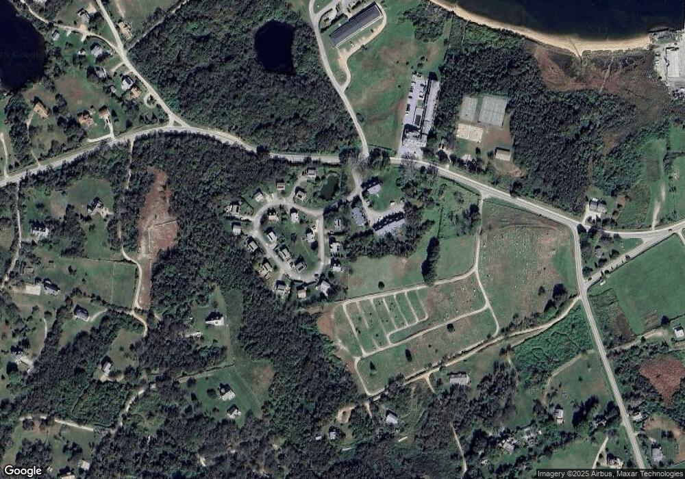
Map
Nearby Homes
- 0 Coast Guard Rd
- 1501 Beacon Hill Rd
- 1210 Graces Cove Rd
- 1557 W Side Rd
- 481 Old Town Rd
- 1743 Corn Neck Rd
- 1596 W Side Rd
- 1713 Corn Neck Rd
- 1720 Corn Neck Rd
- 1087 Lakeside Dr
- 256 High St
- 1289 High St
- 194 Pilot Hill Rd
- 1661 Sand Pond Rd
- 1328 Cooneymus Rd
- 721 Corn Neck Rd
- 1078 W Beach Rd
- 1448 Mohegan Trail
- 0 Pilot Hill Rd
- 0 Snake Hole Rd
- 1870 W Side Rd
- 1872 W Side Rd
- 1201 West Rd
- 1867 W Side Rd
- 72 W Side Rd Unit A1
- 72 W Side Rd Unit B11
- 72 W Side Rd Unit B12
- 72 W Side Rd Unit 3
- 72 W Side Rd Unit B11
- 72 W Side Rd Unit B6
- 72 W Side Rd Unit B3
- 72 W Side Rd Unit B1
- 72 W Side Rd Unit 9
- 72 W Side Rd Unit B-9
- 72 W Side Rd Unit 10
- 72 W Side Rd
- 72 W Side Rd Unit A2
- 72 W Side Rd Unit 13
- 72 W Side Rd Unit 5
- 72 W Side Rd Unit A5