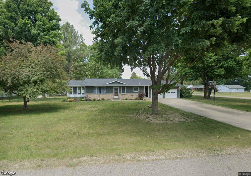
1865 Ames St Otsego, MI 49078
Estimated Value: $222,000 - $290,000
2
Beds
1
Bath
1,416
Sq Ft
$177/Sq Ft
Est. Value
About This Home
This home is located at 1865 Ames St, Otsego, MI 49078 and is currently estimated at $250,562, approximately $176 per square foot. 1865 Ames St is a home located in Allegan County with nearby schools including Otsego High School, Otsego Christian Academy, and St. Margaret School.
Ownership History
Date
Name
Owned For
Owner Type
Purchase Details
Closed on
Oct 17, 2017
Sold by
Sherwood Gcaitlin L
Bought by
Campbell Amanda
Current Estimated Value
Home Financials for this Owner
Home Financials are based on the most recent Mortgage that was taken out on this home.
Original Mortgage
$105,000
Outstanding Balance
$87,705
Interest Rate
3.82%
Mortgage Type
New Conventional
Estimated Equity
$162,857
Purchase Details
Closed on
Mar 19, 2009
Sold by
Kling Wanda M
Bought by
Campbell Amanda M and Sherwood Caitlin L
Home Financials for this Owner
Home Financials are based on the most recent Mortgage that was taken out on this home.
Original Mortgage
$117,724
Interest Rate
5.2%
Mortgage Type
FHA
Create a Home Valuation Report for This Property
The Home Valuation Report is an in-depth analysis detailing your home's value as well as a comparison with similar homes in the area
Home Values in the Area
Average Home Value in this Area
Purchase History
| Date | Buyer | Sale Price | Title Company |
|---|---|---|---|
| Campbell Amanda | -- | None Available | |
| Campbell Amanda M | $119,900 | Ppr Title |
Source: Public Records
Mortgage History
| Date | Status | Borrower | Loan Amount |
|---|---|---|---|
| Open | Campbell Amanda | $105,000 | |
| Previous Owner | Campbell Amanda M | $117,724 |
Source: Public Records
Tax History Compared to Growth
Tax History
| Year | Tax Paid | Tax Assessment Tax Assessment Total Assessment is a certain percentage of the fair market value that is determined by local assessors to be the total taxable value of land and additions on the property. | Land | Improvement |
|---|---|---|---|---|
| 2025 | $2,124 | $99,900 | $9,900 | $90,000 |
| 2024 | $1,794 | $96,100 | $8,400 | $87,700 |
| 2023 | $1,826 | $82,000 | $8,400 | $73,600 |
| 2022 | $1,794 | $77,500 | $8,100 | $69,400 |
| 2021 | $1,693 | $75,500 | $9,900 | $65,600 |
| 2020 | $1,675 | $67,000 | $7,800 | $59,200 |
| 2019 | $1,617 | $64,400 | $7,800 | $56,600 |
| 2018 | $1,583 | $60,300 | $7,500 | $52,800 |
| 2017 | $0 | $63,200 | $12,000 | $51,200 |
| 2016 | $0 | $55,300 | $7,200 | $48,100 |
| 2015 | -- | $55,300 | $7,200 | $48,100 |
| 2014 | $1,420 | $48,400 | $6,300 | $42,100 |
| 2013 | $1,420 | $53,000 | $7,200 | $45,800 |
Source: Public Records
Map
Nearby Homes
- 602 Lincoln Rd
- 552 19th St
- 589 Lincoln Rd
- 0 Briarwood St Unit 25002251
- 624 Nicholson St
- 365 W Orleans St
- 346 W Orleans St
- 233 W Hammond St
- 2108 Fox Mountain Dr
- 1651 Aspen Trail
- 1643 Aspen Trail
- 1647 Aspen Trail
- 1635 Aspen Trail
- 318 S Fair St
- 1431 Michigan 89
- Elements 1870 Plan at Southpointe Trails
- Integrity 1605 Plan at Southpointe Trails
- Elements 2070 Plan at Southpointe Trails
- Integrity 2000 Plan at Southpointe Trails
- Elements 1680 Plan at Southpointe Trails