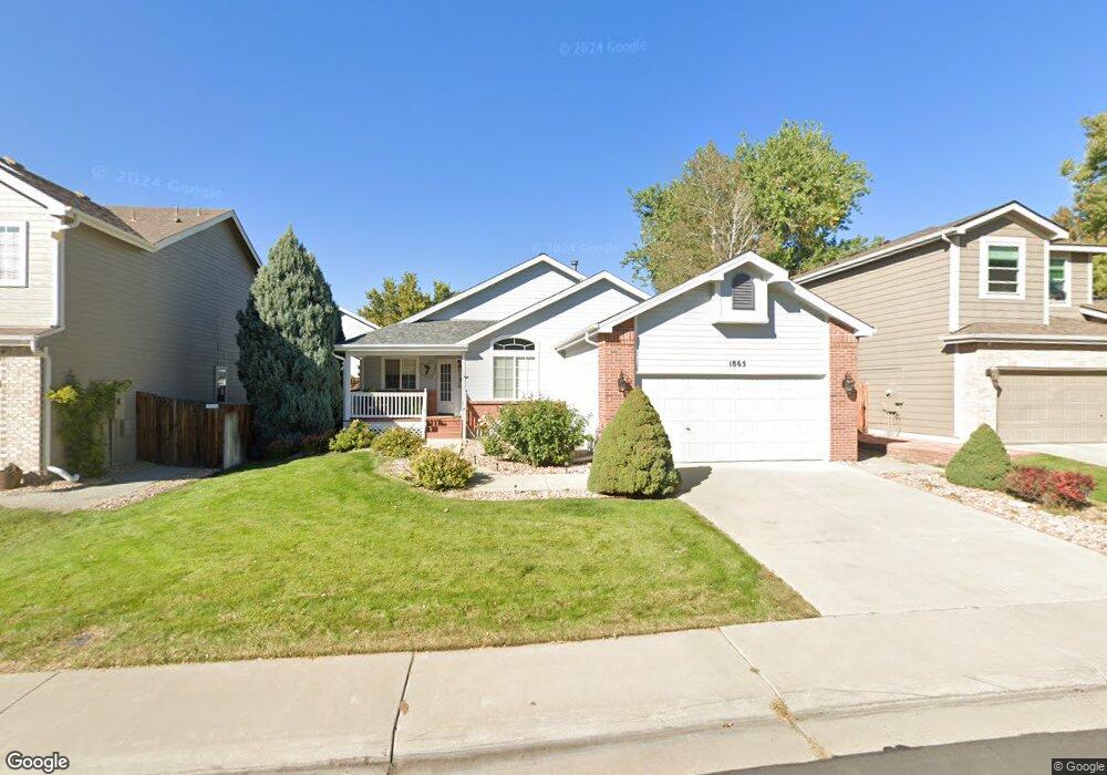
1865 E 135th Ave Thornton, CO 80241
Hunters Glen NeighborhoodEstimated Value: $518,848 - $563,000
3
Beds
2
Baths
2,786
Sq Ft
$197/Sq Ft
Est. Value
About This Home
This home is located at 1865 E 135th Ave, Thornton, CO 80241 and is currently estimated at $550,212, approximately $197 per square foot. 1865 E 135th Ave is a home located in Adams County with nearby schools including Hunters Glen Elementary School, Century Middle School, and Mountain Range High School.
Ownership History
Date
Name
Owned For
Owner Type
Purchase Details
Closed on
Nov 15, 2019
Sold by
Kopine Rosalie J
Bought by
Graham Linda
Current Estimated Value
Purchase Details
Closed on
Apr 27, 2012
Sold by
Quinlan Carol A and Wagner Suebeth
Bought by
Kopine Rosalie J and Warren Dawn R
Purchase Details
Closed on
Jul 7, 1999
Sold by
Dreiling Daniel J and Dreiling Josephine
Bought by
Quinlan Carol A and Wagner Suebeth
Purchase Details
Closed on
Nov 21, 1997
Sold by
Richardson Homes Of and Colorado Inc
Bought by
Dreiling Daniel J and Dreiling Josephine
Create a Home Valuation Report for This Property
The Home Valuation Report is an in-depth analysis detailing your home's value as well as a comparison with similar homes in the area
Home Values in the Area
Average Home Value in this Area
Purchase History
| Date | Buyer | Sale Price | Title Company |
|---|---|---|---|
| Graham Linda | $402,000 | Chicago Title | |
| Kopine Rosalie J | $225,000 | Heritage Title | |
| Quinlan Carol A | -- | -- | |
| Dreiling Daniel J | $159,420 | Title Services |
Source: Public Records
Tax History
| Year | Tax Paid | Tax Assessment Tax Assessment Total Assessment is a certain percentage of the fair market value that is determined by local assessors to be the total taxable value of land and additions on the property. | Land | Improvement |
|---|---|---|---|---|
| 2025 | $3,648 | $37,880 | $7,210 | $30,670 |
| 2024 | $3,648 | $34,820 | $6,630 | $28,190 |
| 2023 | $3,611 | $38,970 | $6,970 | $32,000 |
| 2022 | $3,209 | $29,130 | $7,160 | $21,970 |
| 2021 | $3,315 | $29,130 | $7,160 | $21,970 |
| 2020 | $3,120 | $27,970 | $7,360 | $20,610 |
| 2019 | $3,127 | $27,970 | $7,360 | $20,610 |
| 2018 | $2,842 | $24,700 | $7,490 | $17,210 |
| 2017 | $2,584 | $24,700 | $7,490 | $17,210 |
| 2016 | $2,147 | $19,980 | $4,300 | $15,680 |
| 2015 | $2,144 | $19,980 | $4,300 | $15,680 |
| 2014 | $2,056 | $17,820 | $3,820 | $14,000 |
Source: Public Records
Map
Nearby Homes
- 13508 Vine St
- 1960 E 135th Place
- 2942 E 135th Place
- 1672 E 131st Ct
- 13337 Elizabeth Ct
- 58 Blue Heron Dr
- 7 Sandpiper Cir
- 13486 Clayton St
- 2066 E 129th Ave
- 2746 E 132nd Place
- 2615 Signal Creek Dr
- 1162 E 130th Ave Unit B
- 1174 E 130th Dr
- 13550 Washington St Unit 7C
- 2973 E 133rd Ln
- 2275 E 129th Ave
- 1981 E 141st Ave
- 12885 Vine St
- 12905 Lafayette St Unit H
- 13876 Milwaukee St
- 1875 E 135th Ave
- 1855 E 135th Ave
- 1845 E 135th Ave
- 1885 E 135th Ave
- 1860 E 135th Ave
- 13521 High Cir
- 13511 High Cir
- 1850 E 135th Ave
- 1870 E 135th Ave
- 1835 E 135th Ave
- 1895 E 135th Ave
- 1840 E 135th Ave
- 13531 High Cir
- 13510 High Cir
- 1880 E 135th Ave
- 13520 High Cir
- 13480 Williams St
- 1825 E 135th Ave
- 13530 High Cir
- 1865 E 134th Cir
Your Personal Tour Guide
Ask me questions while you tour the home.