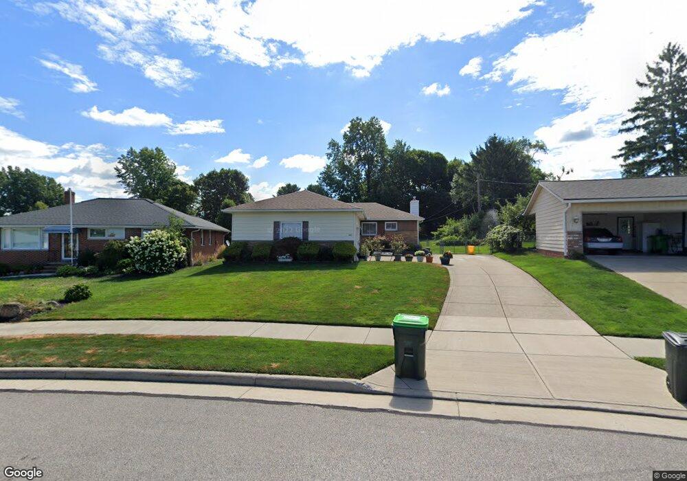
1865 Empire Rd Wickliffe, OH 44092
Estimated Value: $198,000 - $285,000
3
Beds
1
Bath
1,199
Sq Ft
$195/Sq Ft
Est. Value
About This Home
This home is located at 1865 Empire Rd, Wickliffe, OH 44092 and is currently estimated at $233,343, approximately $194 per square foot. 1865 Empire Rd is a home located in Lake County with nearby schools including Wickliffe Elementary School, Wickliffe Middle School, and Wickliffe High School.
Ownership History
Date
Name
Owned For
Owner Type
Purchase Details
Closed on
May 17, 2005
Sold by
Likovic Thomas A and Likovic Cheryl A
Bought by
Walsh Charles P
Current Estimated Value
Home Financials for this Owner
Home Financials are based on the most recent Mortgage that was taken out on this home.
Original Mortgage
$100,000
Interest Rate
6.05%
Mortgage Type
Purchase Money Mortgage
Purchase Details
Closed on
Dec 7, 1994
Sold by
Renner Thomas C
Bought by
Likovic Thomas A and Likovic Cheryl A
Home Financials for this Owner
Home Financials are based on the most recent Mortgage that was taken out on this home.
Original Mortgage
$101,000
Interest Rate
5.75%
Mortgage Type
New Conventional
Create a Home Valuation Report for This Property
The Home Valuation Report is an in-depth analysis detailing your home's value as well as a comparison with similar homes in the area
Home Values in the Area
Average Home Value in this Area
Purchase History
| Date | Buyer | Sale Price | Title Company |
|---|---|---|---|
| Walsh Charles P | $164,500 | Real Estate Title | |
| Likovic Thomas A | $117,500 | -- |
Source: Public Records
Mortgage History
| Date | Status | Borrower | Loan Amount |
|---|---|---|---|
| Closed | Walsh Charles P | $100,000 | |
| Previous Owner | Likovic Thomas A | $101,000 |
Source: Public Records
Tax History Compared to Growth
Tax History
| Year | Tax Paid | Tax Assessment Tax Assessment Total Assessment is a certain percentage of the fair market value that is determined by local assessors to be the total taxable value of land and additions on the property. | Land | Improvement |
|---|---|---|---|---|
| 2024 | -- | $60,520 | $21,080 | $39,440 |
| 2023 | $6,168 | $50,150 | $18,260 | $31,890 |
| 2022 | $3,598 | $50,150 | $18,260 | $31,890 |
| 2021 | $3,612 | $50,150 | $18,260 | $31,890 |
| 2020 | $3,400 | $40,110 | $14,600 | $25,510 |
| 2019 | $3,399 | $40,110 | $14,600 | $25,510 |
| 2018 | $2,913 | $38,950 | $17,510 | $21,440 |
| 2017 | $2,893 | $38,950 | $17,510 | $21,440 |
| 2016 | $2,728 | $38,950 | $17,510 | $21,440 |
| 2015 | $2,680 | $38,950 | $17,510 | $21,440 |
| 2014 | $2,361 | $38,950 | $17,510 | $21,440 |
| 2013 | $2,360 | $38,950 | $17,510 | $21,440 |
Source: Public Records
Map
Nearby Homes
- 1847 Eldon Dr
- 1842 Eldon Dr
- 30529 Ridge Rd
- 1737 Drenik Dr
- 2131 Country Club Dr
- 1711 Rush Rd
- 30530 Grant St
- 30200 Ridge Rd
- 2135 Pine Ridge Dr
- 5510 Wildwood Ct Unit 81-A
- 1719 E 300th St
- 1590 Dennis Dr
- 5830 Ridgeview Ln
- 2269 Country Club Dr
- 1648 Douglas Rd
- 5465 Millwood Ln Unit 40-C
- 5463 Millwood Ln Unit 42C
- 5551 Ivy Ct
- 5520 Bretton Ct Unit A
- 1569 Douglas Rd