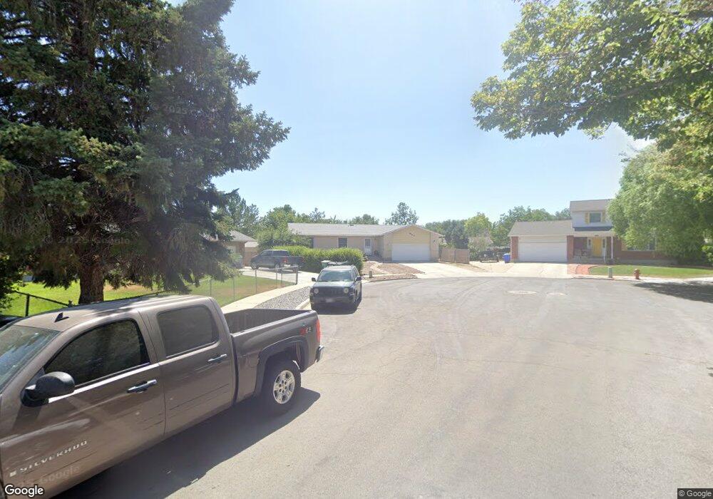
1865 Executive Cir West Jordan, UT 84084
Estimated Value: $516,000 - $590,000
3
Beds
2
Baths
1,200
Sq Ft
$451/Sq Ft
Est. Value
About This Home
This home is located at 1865 Executive Cir, West Jordan, UT 84084 and is currently estimated at $540,931, approximately $450 per square foot. 1865 Executive Cir is a home located in Salt Lake County with nearby schools including Majestic Elementary Arts Academy, West Jordan Middle School, and West Jordan High School.
Ownership History
Date
Name
Owned For
Owner Type
Purchase Details
Closed on
Oct 30, 1996
Sold by
Greenland C Merrill and Greenland Florence P
Bought by
Pedersen Paul Mark and Pedersen Judy G
Current Estimated Value
Home Financials for this Owner
Home Financials are based on the most recent Mortgage that was taken out on this home.
Original Mortgage
$126,782
Outstanding Balance
$12,517
Interest Rate
8.11%
Mortgage Type
FHA
Estimated Equity
$528,414
Create a Home Valuation Report for This Property
The Home Valuation Report is an in-depth analysis detailing your home's value as well as a comparison with similar homes in the area
Home Values in the Area
Average Home Value in this Area
Purchase History
| Date | Buyer | Sale Price | Title Company |
|---|---|---|---|
| Pedersen Paul Mark | -- | -- |
Source: Public Records
Mortgage History
| Date | Status | Borrower | Loan Amount |
|---|---|---|---|
| Open | Pedersen Paul Mark | $126,782 |
Source: Public Records
Tax History Compared to Growth
Tax History
| Year | Tax Paid | Tax Assessment Tax Assessment Total Assessment is a certain percentage of the fair market value that is determined by local assessors to be the total taxable value of land and additions on the property. | Land | Improvement |
|---|---|---|---|---|
| 2025 | $2,607 | $524,500 | $140,100 | $384,400 |
| 2024 | $2,607 | $501,600 | $132,100 | $369,500 |
| 2023 | $2,653 | $481,100 | $122,300 | $358,800 |
| 2022 | $2,710 | $483,400 | $119,900 | $363,500 |
| 2021 | $2,213 | $359,300 | $93,700 | $265,600 |
| 2020 | $2,070 | $315,500 | $93,700 | $221,800 |
| 2019 | $2,028 | $303,100 | $93,700 | $209,400 |
| 2018 | $1,790 | $265,400 | $90,700 | $174,700 |
| 2017 | $1,670 | $246,400 | $90,700 | $155,700 |
| 2016 | $1,609 | $223,100 | $90,700 | $132,400 |
| 2015 | $1,696 | $229,300 | $96,700 | $132,600 |
| 2014 | $1,629 | $216,800 | $92,400 | $124,400 |
Source: Public Records
Map
Nearby Homes
- 7149 S Camelot Way
- 7150 Camelot Way
- 1951 W 7125 S
- 6925 S Lexington Dr
- 7279 S Kenadi Ct
- 1718 W Trey Way Unit 2
- 1607 W Beamon St
- 7118 S Equator Ln Unit 14 B
- 6924 S 2160 W
- 7165 Callie Dr
- 7174 S 1380 W
- 7194 S 1380 W
- 2312 W Hidden Bend Cove Unit 107
- 6683 Alice Susanna Ln
- 1678 Leland Dr
- 1384 W 7290 S
- 2421 W 6900 S
- 1516 W 7470 S
- 1817 W 7600 S Unit I204
- 1801 W 7600 S Unit C201
- 1865 W Executive Cir
- 1872 Executive Cir
- 1851 Executive Cir
- 1866 W Silverton Cir
- 1866 Silverton Cir
- 7061 Camelot Way
- 1852 Silverton Cir
- 7073 S Camelot Way
- 7073 Camelot Way
- 7047 Camelot Way
- 1866 Executive Cir
- 1837 W Executive Cir
- 1837 Executive Cir
- 7068 S Executive Dr
- 7087 Camelot Way
- 7087 S Camelot Way
- 7068 Executive Dr
- 1872 Silverton Cir
- 7039 Camelot Way
- 1852 Executive Cir