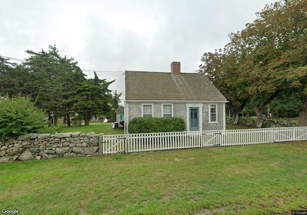
1865 Main Rd Westport Point, MA 02791
Westport Point NeighborhoodEstimated Value: $843,000 - $1,333,000
3
Beds
--
Bath
1,504
Sq Ft
$790/Sq Ft
Est. Value
About This Home
This home is located at 1865 Main Rd, Westport Point, MA 02791 and is currently estimated at $1,187,883, approximately $789 per square foot. 1865 Main Rd is a home with nearby schools including Alice A. Macomber Primary School, Westport Elementary School, and Westport Middle-High School.
Ownership History
Date
Name
Owned For
Owner Type
Purchase Details
Closed on
Mar 3, 1987
Sold by
Baker Extr John B
Bought by
Sharp Peter H
Current Estimated Value
Create a Home Valuation Report for This Property
The Home Valuation Report is an in-depth analysis detailing your home's value as well as a comparison with similar homes in the area
Home Values in the Area
Average Home Value in this Area
Purchase History
| Date | Buyer | Sale Price | Title Company |
|---|---|---|---|
| Sharp Peter H | $225,000 | -- |
Source: Public Records
Mortgage History
| Date | Status | Borrower | Loan Amount |
|---|---|---|---|
| Open | Sharp Peter H | $281,000 | |
| Closed | Sharp Peter H | $295,000 | |
| Closed | Sharp Peter H | $300,000 |
Source: Public Records
Tax History Compared to Growth
Tax History
| Year | Tax Paid | Tax Assessment Tax Assessment Total Assessment is a certain percentage of the fair market value that is determined by local assessors to be the total taxable value of land and additions on the property. | Land | Improvement |
|---|---|---|---|---|
| 2025 | $7,048 | $946,100 | $773,100 | $173,000 |
| 2024 | $6,871 | $888,900 | $716,200 | $172,700 |
| 2023 | $6,013 | $736,900 | $582,900 | $154,000 |
| 2022 | $5,897 | $695,400 | $558,100 | $137,300 |
| 2021 | $5,237 | $607,500 | $473,500 | $134,000 |
| 2020 | $4,962 | $588,600 | $454,600 | $134,000 |
| 2019 | $4,865 | $588,300 | $454,600 | $133,700 |
| 2018 | $2,496 | $566,600 | $431,000 | $135,600 |
| 2017 | $4,531 | $568,500 | $431,000 | $137,500 |
| 2016 | $4,455 | $563,200 | $431,000 | $132,200 |
| 2015 | $4,517 | $569,600 | $442,700 | $126,900 |
Source: Public Records
Map
Nearby Homes
- 1881 Main Rd
- 1749 Main Rd
- 1702J Drift Rd
- 1702 Drift Rd
- 1580 Main Rd
- 1346 Main Rd Unit B
- 19 Seabury Ln
- 99 Sylvia Ln
- 189 Brayton Point Rd
- 304 Brayton Point Rd
- 238-242 E Beach Rd
- 255 John Dyer Rd
- 225 Hixbridge Rd
- 245 John Dyer Rd
- Lot 2 Horseneck Rd
- 920 Drift Rd
- 17 Quail Trail
- 101 Adamsville Rd
- 837 Main Rd
- Lot 2E Horseneck Rd
- 1871 Main Rd
- 6 Cape Bial Ln
- 6 Cape Bial Ln Unit FALL RENTAL
- 6 Cape Bial Ln Unit WEEKLY
- 6 Cape Bial Unit WEEKLY
- 1871 Main Rd
- 1868 Main Rd
- 1875 Main Rd
- 1853 Main Rd
- 3 Windward Way
- 1856 Main Rd
- 1874 Main Rd
- 1800 Main Rd
- 15 Cape Bial Ln
- 1907 Drift Rd
- 1847 Main Rd
- 1913 Drift Rd
- 1901 Drift Rd
- 1885B Main Rd
- 1878 Main Rd