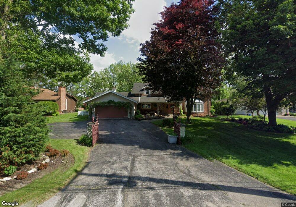
1865 Port Clinton Rd Fremont, OH 43420
Estimated Value: $335,648 - $394,000
4
Beds
4
Baths
3,584
Sq Ft
$102/Sq Ft
Est. Value
About This Home
This home is located at 1865 Port Clinton Rd, Fremont, OH 43420 and is currently estimated at $364,883, approximately $101 per square foot. 1865 Port Clinton Rd is a home located in Sandusky County with nearby schools including Fremont Ross High School, St. Ann Catholic School, and St. Joseph School.
Ownership History
Date
Name
Owned For
Owner Type
Purchase Details
Closed on
May 26, 1995
Sold by
Est Angela M Daubel
Bought by
Oxley Ralph A and Scranton Rina L J
Current Estimated Value
Home Financials for this Owner
Home Financials are based on the most recent Mortgage that was taken out on this home.
Original Mortgage
$172,000
Interest Rate
8.4%
Mortgage Type
New Conventional
Create a Home Valuation Report for This Property
The Home Valuation Report is an in-depth analysis detailing your home's value as well as a comparison with similar homes in the area
Home Values in the Area
Average Home Value in this Area
Purchase History
| Date | Buyer | Sale Price | Title Company |
|---|---|---|---|
| Oxley Ralph A | $215,000 | -- |
Source: Public Records
Mortgage History
| Date | Status | Borrower | Loan Amount |
|---|---|---|---|
| Closed | Oxley Ralph A | $172,000 |
Source: Public Records
Tax History Compared to Growth
Tax History
| Year | Tax Paid | Tax Assessment Tax Assessment Total Assessment is a certain percentage of the fair market value that is determined by local assessors to be the total taxable value of land and additions on the property. | Land | Improvement |
|---|---|---|---|---|
| 2024 | $4,213 | $111,970 | $15,890 | $96,080 |
| 2023 | $4,213 | $89,570 | $12,710 | $76,860 |
| 2022 | $3,581 | $89,570 | $12,710 | $76,860 |
| 2021 | $4,100 | $89,570 | $12,710 | $76,860 |
| 2020 | $3,811 | $81,170 | $12,710 | $68,460 |
| 2019 | $3,837 | $81,170 | $12,710 | $68,460 |
| 2018 | $3,718 | $81,170 | $12,710 | $68,460 |
| 2017 | $3,593 | $74,940 | $12,710 | $62,230 |
| 2016 | $3,217 | $74,940 | $12,710 | $62,230 |
| 2015 | $3,172 | $74,940 | $12,710 | $62,230 |
| 2014 | $3,496 | $79,840 | $12,460 | $67,380 |
| 2013 | $3,431 | $79,840 | $12,460 | $67,380 |
Source: Public Records
Map
Nearby Homes
- 1730 Port Clinton Rd Unit 41
- 1730 Port Clinton Rd
- 1730 Port Clinton Rd Unit 33
- 711 Bloom Rd
- 0 Sean Dr
- Outlot A Sean Dr
- 2100 Ohio 53
- 900 Spring St
- 612 2nd St
- 533 Sandusky Ave Unit 535
- 711 Rawson Ave
- 1441 White Ave
- 433 Sandusky Ave
- 1227 White Ave
- 340 340 Sandusky Ave
- 516 N Front St
- 224 Sandusky Ave Unit 226
- 322 4th St
- 818 Franklin Ave
- 427 N Clover St
- 1855 Port Clinton Rd
- 1871 Port Clinton Rd
- 1847 Port Clinton Rd
- 1889 Port Clinton Rd
- 1870 Port Clinton Rd
- 1839 Port Clinton Rd
- 1858 Port Clinton Rd
- 1880 Port Clinton Rd
- 1886 Port Clinton Rd
- 1838 Port Clinton Rd
- 1831 Port Clinton Rd
- 1933 Melody Dr
- 1939 Melody Dr
- 1925 Melody Dr
- 1899 Port Clinton Rd
- 1945 Melody Dr
- 1900 Port Clinton Rd
- 1917 Melody Dr
- 1901 Whittaker Dr
- 1830 Port Clinton Rd