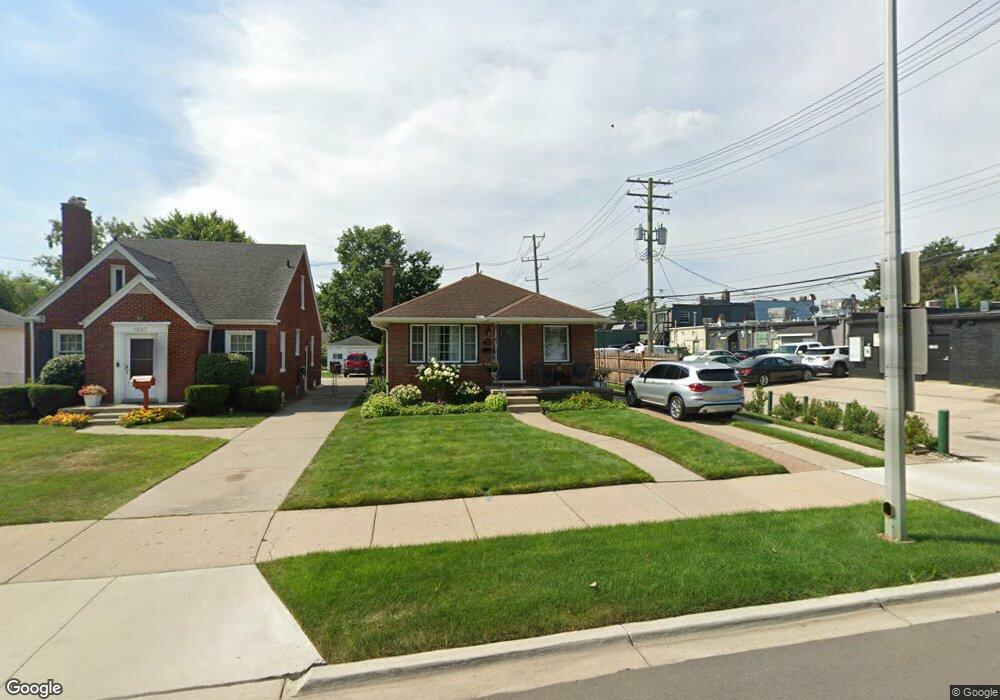
1865 Roslyn Rd Unit Bldg-Unit Grosse Pointe Woods, MI 48236
Estimated Value: $199,000 - $278,000
3
Beds
2
Baths
850
Sq Ft
$276/Sq Ft
Est. Value
About This Home
This home is located at 1865 Roslyn Rd Unit Bldg-Unit, Grosse Pointe Woods, MI 48236 and is currently estimated at $234,988, approximately $276 per square foot. 1865 Roslyn Rd Unit Bldg-Unit is a home located in Wayne County with nearby schools including Stevens T. Mason Elementary School, Parcells Middle School, and Grosse Pointe North High School.
Ownership History
Date
Name
Owned For
Owner Type
Purchase Details
Closed on
Feb 9, 2022
Sold by
Matt Mccabe
Bought by
Mccabe Matt and Mccabe Maria P
Current Estimated Value
Purchase Details
Closed on
Mar 9, 2018
Sold by
Wagner Daniel K
Bought by
Mccabe Matt
Purchase Details
Closed on
Oct 4, 2002
Sold by
Volbergs Milmary
Bought by
Wagner Daniel K
Purchase Details
Closed on
May 22, 1997
Sold by
Shelly L and Shelly Timothy G
Bought by
Milmary Volbergs
Create a Home Valuation Report for This Property
The Home Valuation Report is an in-depth analysis detailing your home's value as well as a comparison with similar homes in the area
Home Values in the Area
Average Home Value in this Area
Purchase History
| Date | Buyer | Sale Price | Title Company |
|---|---|---|---|
| Mccabe Matt | -- | Parnell Firm Pllc | |
| Mccabe Matt | $99,000 | None Available | |
| Wagner Daniel K | $163,500 | -- | |
| Milmary Volbergs | $107,500 | -- |
Source: Public Records
Mortgage History
| Date | Status | Borrower | Loan Amount |
|---|---|---|---|
| Closed | Wagner Daniel K | -- |
Source: Public Records
Tax History Compared to Growth
Tax History
| Year | Tax Paid | Tax Assessment Tax Assessment Total Assessment is a certain percentage of the fair market value that is determined by local assessors to be the total taxable value of land and additions on the property. | Land | Improvement |
|---|---|---|---|---|
| 2025 | $2,385 | $99,700 | $0 | $0 |
| 2024 | $2,385 | $90,900 | $0 | $0 |
| 2023 | $2,293 | $84,000 | $0 | $0 |
| 2022 | $3,592 | $75,300 | $0 | $0 |
| 2021 | $3,424 | $68,600 | $0 | $0 |
| 2020 | $3,525 | $62,000 | $0 | $0 |
| 2019 | $3,451 | $59,600 | $0 | $0 |
| 2018 | $1,399 | $54,200 | $0 | $0 |
| 2017 | $2,542 | $53,700 | $0 | $0 |
| 2016 | $2,657 | $49,300 | $0 | $0 |
| 2015 | $3,840 | $49,100 | $0 | $0 |
| 2013 | $3,730 | $38,000 | $0 | $0 |
| 2012 | -- | $41,700 | $14,300 | $27,400 |
Source: Public Records
Map
Nearby Homes
- 1793 Roslyn Rd
- 1768 Hampton Rd
- 1781 Brys Dr
- 1817 Hawthorne Rd
- 1677 Brys Dr
- 2104 Roslyn Rd
- 1641 Hampton Rd
- 22029 Shore Pointe Ln
- 2138 Ridgemont Rd
- 2147 Roslyn Rd
- 2025 Anita Ave
- 1750 Vernier Rd Unit 6
- 1750 Vernier Rd Unit 22
- 2202 Hollywood Ave
- 1552 Brys Dr
- 1528 Roslyn Rd
- 2230 Hawthorne Rd
- 22525 E 8 Mile Rd
- 22130 Mauer St
- 20945 Hampton Rd
- 1865 Roslyn Rd
- 1849 Roslyn Rd
- 21020 Mack Ave
- 211 Riviera Drive Mack Ave
- 1841 Roslyn Rd Unit Bldg-Unit
- 1841 Roslyn Rd
- 21012 Mack Ave
- 21002 MacK Lease 2 Ave Unit 6
- 21002 Mack Ave Unit 1
- 21002 Mack Ave
- 21024 Mack Ave
- 1860 Hampton Rd
- 20968 Mack Ave
- 1833 Roslyn Rd
- 20964 Mack Ave
- 1848 Hampton Rd
- 1825 Roslyn Rd
- 1840 Hampton Rd
- 1856 Roslyn Rd
- 20956 Mack Ave