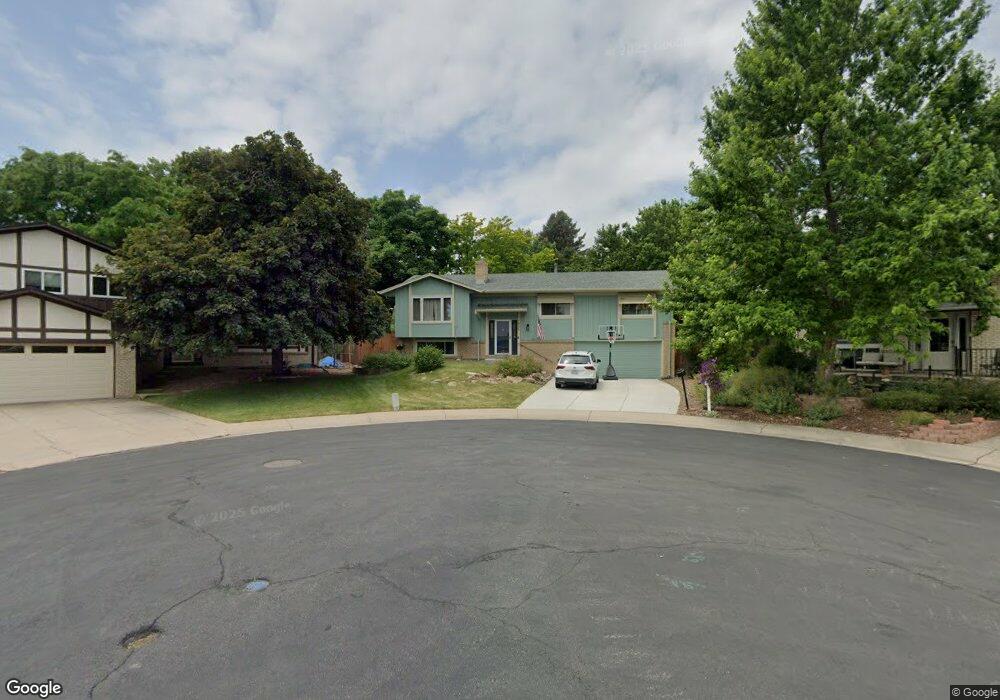
1865 S Arbutus Ct Lakewood, CO 80228
Green Mountain NeighborhoodEstimated Value: $660,373 - $688,000
4
Beds
3
Baths
1,544
Sq Ft
$437/Sq Ft
Est. Value
About This Home
This home is located at 1865 S Arbutus Ct, Lakewood, CO 80228 and is currently estimated at $675,343, approximately $437 per square foot. 1865 S Arbutus Ct is a home located in Jefferson County with nearby schools including Hutchinson Elementary School, Dunstan Middle School, and Green Mountain High School.
Ownership History
Date
Name
Owned For
Owner Type
Purchase Details
Closed on
Jun 7, 2006
Sold by
Thomas Mark Alan and Argent Lesley
Bought by
The Salvation Army
Current Estimated Value
Purchase Details
Closed on
Sep 19, 1996
Sold by
Ray Heggem Dannie and Ray Laura E
Bought by
Thomas Mark Alan and Argent Lesley
Home Financials for this Owner
Home Financials are based on the most recent Mortgage that was taken out on this home.
Original Mortgage
$146,600
Interest Rate
7.9%
Mortgage Type
Balloon
Create a Home Valuation Report for This Property
The Home Valuation Report is an in-depth analysis detailing your home's value as well as a comparison with similar homes in the area
Home Values in the Area
Average Home Value in this Area
Purchase History
| Date | Buyer | Sale Price | Title Company |
|---|---|---|---|
| The Salvation Army | $275,000 | None Available | |
| Thomas Mark Alan | $162,900 | First American Heritage Titl |
Source: Public Records
Mortgage History
| Date | Status | Borrower | Loan Amount |
|---|---|---|---|
| Previous Owner | Thomas Mark Alan | $146,600 |
Source: Public Records
Tax History Compared to Growth
Tax History
| Year | Tax Paid | Tax Assessment Tax Assessment Total Assessment is a certain percentage of the fair market value that is determined by local assessors to be the total taxable value of land and additions on the property. | Land | Improvement |
|---|---|---|---|---|
| 2024 | -- | $44,180 | $16,641 | $27,539 |
| 2023 | $0 | $44,180 | $16,641 | $27,539 |
| 2022 | $0 | $31,250 | $13,857 | $17,393 |
| 2021 | $0 | $32,149 | $14,256 | $17,893 |
| 2020 | $0 | $28,755 | $11,747 | $17,008 |
| 2019 | $0 | $28,755 | $11,747 | $17,008 |
| 2018 | $0 | $27,526 | $7,983 | $19,543 |
| 2017 | $0 | $27,526 | $7,983 | $19,543 |
| 2016 | -- | $20,867 | $7,033 | $13,834 |
| 2015 | -- | $20,867 | $7,033 | $13,834 |
| 2014 | -- | $20,867 | $7,033 | $13,834 |
Source: Public Records
Map
Nearby Homes
- 13233 W Utah Cir
- 13231 W Montana Ave
- 1697 S Cole St Unit C2
- 1882 S Zinnia Way
- 1648 S Cole St Unit B7
- 1655 S Cole St Unit B1
- 1825 S Zang Ct
- 12948 W Oregon Dr
- 1650 S Deframe St Unit B5
- 2175 S Deframe St
- 2037 S Welch Cir
- 13934 W Warren Dr
- 12742 W Florida Dr
- 12711 W Jewell Cir
- 13126 W Warren Cir
- 2164 S Zang Way
- 13804 W Iliff Ave
- 12807 W Adriatic Ave
- 13349 W Alameda Pkwy Unit 303
- 13349 W Alameda Pkwy Unit 104
- 1867 S Arbutus Ct
- 1861 S Arbutus Ct
- 1862 S Beech St
- 1868 S Beech St
- 1855 S Arbutus Ct
- 13263 W Utah Cir
- 1864 S Arbutus Ct
- 1858 S Beech St
- 13253 W Utah Cir
- 13273 W Utah Cir
- 1860 S Arbutus Ct
- 13243 W Utah Cir
- 1854 S Arbutus Ct
- 13283 W Utah Cir
- 1851 S Arbutus Ct
- 1852 S Beech St
- 1872 S Beech St
- 1850 S Arbutus Ct
- 1863 S Beech St
- 1859 S Beech St