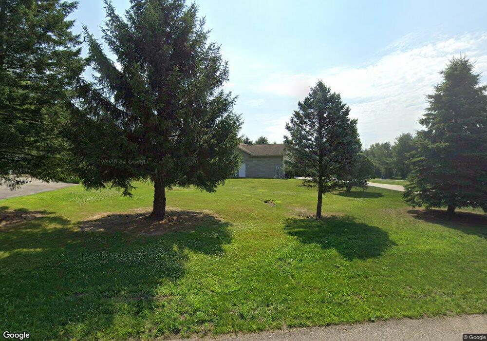
1865 S Basswood Trail La Porte, IN 46350
Estimated Value: $371,000 - $504,000
3
Beds
2
Baths
1,751
Sq Ft
$241/Sq Ft
Est. Value
About This Home
This home is located at 1865 S Basswood Trail, La Porte, IN 46350 and is currently estimated at $421,277, approximately $240 per square foot. 1865 S Basswood Trail is a home located in LaPorte County with nearby schools including Westville Elementary School and Westville High School.
Ownership History
Date
Name
Owned For
Owner Type
Purchase Details
Closed on
Jul 12, 2010
Sold by
Savage Harry L and Savage Christine M
Bought by
Savage Harry L and Savage Christine M
Current Estimated Value
Home Financials for this Owner
Home Financials are based on the most recent Mortgage that was taken out on this home.
Original Mortgage
$161,000
Interest Rate
4.83%
Mortgage Type
New Conventional
Purchase Details
Closed on
Sep 26, 2005
Sold by
Savage Harry L and Savage Christine M
Bought by
Savage Harry L and Savage Christine M
Create a Home Valuation Report for This Property
The Home Valuation Report is an in-depth analysis detailing your home's value as well as a comparison with similar homes in the area
Home Values in the Area
Average Home Value in this Area
Purchase History
| Date | Buyer | Sale Price | Title Company |
|---|---|---|---|
| Savage Harry L | -- | Meridian Title Corp | |
| Savage Harry L | -- | None Available | |
| Savage Harry L | -- | -- |
Source: Public Records
Mortgage History
| Date | Status | Borrower | Loan Amount |
|---|---|---|---|
| Closed | Savage Harry L | $161,000 |
Source: Public Records
Tax History Compared to Growth
Tax History
| Year | Tax Paid | Tax Assessment Tax Assessment Total Assessment is a certain percentage of the fair market value that is determined by local assessors to be the total taxable value of land and additions on the property. | Land | Improvement |
|---|---|---|---|---|
| 2024 | $2,314 | $255,700 | $40,100 | $215,600 |
| 2022 | $2,211 | $221,200 | $40,100 | $181,100 |
| 2021 | $2,211 | $207,300 | $40,100 | $167,200 |
| 2020 | $2,065 | $207,300 | $40,100 | $167,200 |
| 2019 | $2,097 | $208,200 | $40,100 | $168,100 |
| 2018 | $2,186 | $205,600 | $40,100 | $165,500 |
| 2017 | $2,021 | $191,500 | $31,000 | $160,500 |
| 2016 | $2,173 | $200,300 | $31,000 | $169,300 |
| 2014 | $1,782 | $191,900 | $31,000 | $160,900 |
Source: Public Records
Map
Nearby Homes
- 3555 S Maple Lane Ct
- Lot 17 S Rolling Meadows Dr
- Lot 18 S Rolling Meadows Dr
- 1824 Creekside Ct
- 10222 W Rolling Meadows Dr
- 1796 S Rolling Meadows Dr
- 6475 W Joliet Rd
- 277 U S 421
- 603 Julie Dr
- 604 Stanley Dr
- 906 N Honeysuckle Ln
- 0 N Goldring Rd Unit NRA828377
- 0 N 550 E Unit NRA806176
- 601 Mary Dr
- 0 N Forrester Rd
- 0 W Applewood Dr Unit NRA813098
- 1111 S 500 W
- 403 Liberty Ave
- 1139 S 500 W
- 1 Avenue B
- 7997 W Cherry Hill Dr
- 1819 S Basswood Trail
- 1866 S Basswood Trail
- 8022 W Cherry Hill Dr
- 1818 S Basswood Trail
- 7984 W Cherry Hill Dr
- 7975 W Cherry Hill Dr
- 1775 S Basswood Trail
- 8052 W Cherry Hill Dr
- 8057 W Cherry Hill Dr
- 1774 S Basswood Trail
- 8062 W Cherry Hill Dr
- 8079 W Cherry Hill Dr
- 1856 S Wozniak Rd
- 1876 S Wozniak Rd
- 1864 S Wozniak Rd
- 2144 S Wozniak Rd
- 1801 S Wozniak Rd
- 1777 S Wozniak Rd
- 1757 S Wozniak Rd