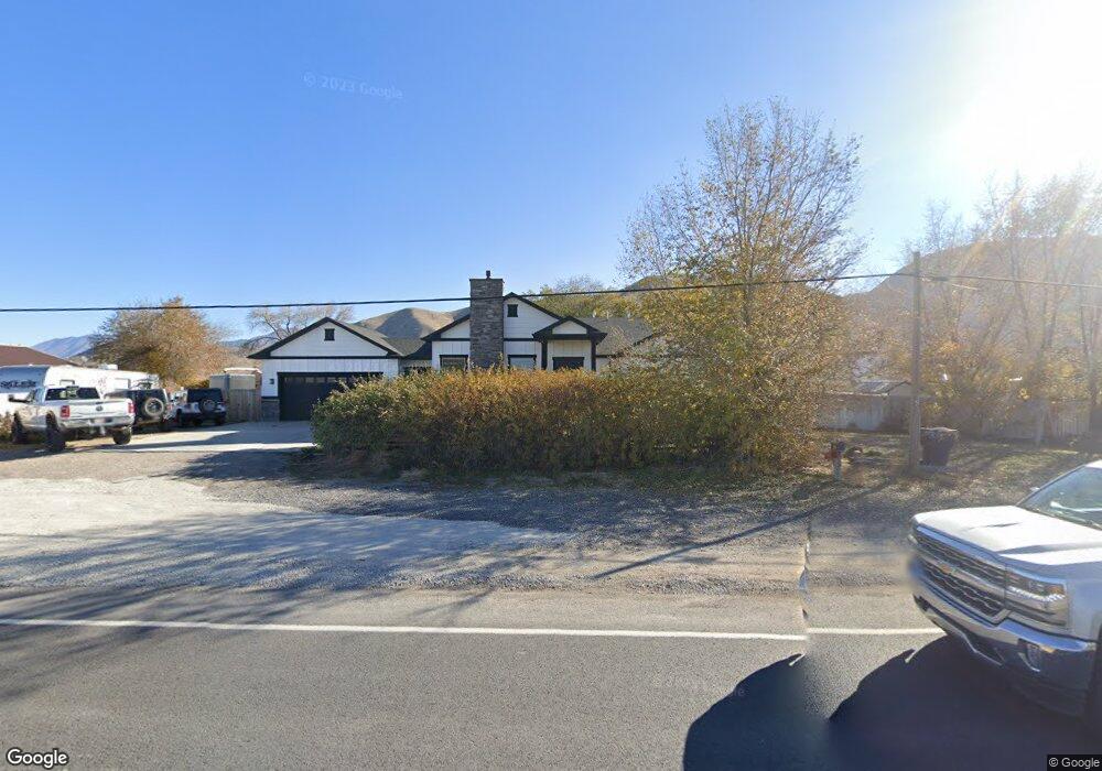
1865 S Highway 198 Payson, UT 84651
Estimated Value: $815,000 - $1,385,000
4
Beds
3
Baths
3,249
Sq Ft
$300/Sq Ft
Est. Value
About This Home
This home is located at 1865 S Highway 198, Payson, UT 84651 and is currently estimated at $974,550, approximately $299 per square foot. 1865 S Highway 198 is a home located in Utah County with nearby schools including Spring Lake Elementary, Payson Junior High School, and Payson High School.
Ownership History
Date
Name
Owned For
Owner Type
Purchase Details
Closed on
Jul 29, 2021
Sold by
Cofran Jason K and Cofran Lisa
Bought by
Cofran Jason K and Cofran Lisa
Current Estimated Value
Purchase Details
Closed on
Nov 7, 2016
Sold by
Cofran Climate Systems Rental Llc
Bought by
Cofran Jason K and Cofran Lisa
Home Financials for this Owner
Home Financials are based on the most recent Mortgage that was taken out on this home.
Original Mortgage
$223,000
Outstanding Balance
$105,642
Interest Rate
3.42%
Mortgage Type
New Conventional
Estimated Equity
$868,908
Purchase Details
Closed on
Oct 26, 2007
Sold by
Cofran Jason K and Cofran Lisa
Bought by
Cofran Climate Systems Rental Llc
Create a Home Valuation Report for This Property
The Home Valuation Report is an in-depth analysis detailing your home's value as well as a comparison with similar homes in the area
Home Values in the Area
Average Home Value in this Area
Purchase History
| Date | Buyer | Sale Price | Title Company |
|---|---|---|---|
| Cofran Jason K | -- | None Available | |
| Cofran Jason K | -- | Title Source Inc | |
| Cofran Climate Systems Rental Llc | -- | None Available |
Source: Public Records
Mortgage History
| Date | Status | Borrower | Loan Amount |
|---|---|---|---|
| Open | Cofran Jason K | $223,000 |
Source: Public Records
Tax History Compared to Growth
Tax History
| Year | Tax Paid | Tax Assessment Tax Assessment Total Assessment is a certain percentage of the fair market value that is determined by local assessors to be the total taxable value of land and additions on the property. | Land | Improvement |
|---|---|---|---|---|
| 2025 | $4,151 | $422,400 | $214,100 | $553,900 |
| 2024 | $4,151 | $422,400 | $0 | $0 |
| 2023 | $4,291 | $437,910 | $0 | $0 |
| 2022 | $4,369 | $438,515 | $0 | $0 |
| 2021 | $3,570 | $574,800 | $116,400 | $458,400 |
| 2020 | $3,526 | $555,400 | $97,000 | $458,400 |
| 2019 | $3,385 | $546,600 | $88,200 | $458,400 |
| 2018 | $3,164 | $492,400 | $70,500 | $421,900 |
| 2017 | $2,820 | $236,005 | $0 | $0 |
| 2016 | $2,722 | $226,380 | $0 | $0 |
| 2015 | $2,607 | $215,325 | $0 | $0 |
Source: Public Records
Map
Nearby Homes
- 1592 S 790 W
- 1582 S 790 W
- 922 W 1620 S
- 480 W 1890 S
- 1579 S 910 W
- 1868 S 410 W
- 598 W Saddlebrook Dr
- 1825 S 410 W
- 1763 S 1100 W Unit 14
- 1733 S 1100 W Unit 12
- 1605 S 1100 W
- 1597 S 1100 W
- 211 W 1800 S
- 1652 S 240 W Unit 48
- 1632 S 240 W Unit 47
- 4125 W 12000 S
- 588 W 1450 S
- 802 Brookside Ct
- 32 E 1690 S
- 32 E 1690 S Unit 113
- 1837 S Highway 198
- 1887 S Highway 198
- 1933 S Highway 198
- 1799 S Highway 198
- 1955 S Highway 198
- 1866 S 650 W
- 11968 S Highway 198
- 656 1870 S
- 1763 S Highway 198
- 1872 S 650 W
- 1975 S Highway 198
- 638 W 1870 S
- 1878 S 650 W
- 11874 S Highway 198
- 11938 S Highway 198
- 622 W 1870 S
- 643 W 1870 S
- 1737 S Highway 198
- 1737 S Hwy 198
- 1894 S 650 W