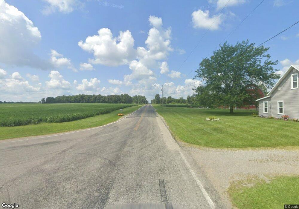
1865 W State Route 29 Urbana, OH 43078
Estimated Value: $371,000 - $503,095
3
Beds
2
Baths
1,650
Sq Ft
$268/Sq Ft
Est. Value
About This Home
This home is located at 1865 W State Route 29, Urbana, OH 43078 and is currently estimated at $442,024, approximately $267 per square foot. 1865 W State Route 29 is a home located in Champaign County with nearby schools including West Liberty-Salem Elementary School, West Liberty-Salem Middle School, and West Liberty-Salem Middle/High School.
Ownership History
Date
Name
Owned For
Owner Type
Purchase Details
Closed on
Apr 3, 2004
Sold by
Maley Kim W and Maley Mercedes G
Bought by
Payne Paul A and Payne Paulette M
Current Estimated Value
Home Financials for this Owner
Home Financials are based on the most recent Mortgage that was taken out on this home.
Original Mortgage
$190,000
Outstanding Balance
$45,087
Interest Rate
5.65%
Mortgage Type
Purchase Money Mortgage
Estimated Equity
$396,937
Purchase Details
Closed on
Jul 12, 1996
Sold by
Mccall Edward E
Bought by
Maley Kim W and Maley Mercerles G
Home Financials for this Owner
Home Financials are based on the most recent Mortgage that was taken out on this home.
Original Mortgage
$150,000
Interest Rate
5.75%
Mortgage Type
New Conventional
Create a Home Valuation Report for This Property
The Home Valuation Report is an in-depth analysis detailing your home's value as well as a comparison with similar homes in the area
Home Values in the Area
Average Home Value in this Area
Purchase History
| Date | Buyer | Sale Price | Title Company |
|---|---|---|---|
| Payne Paul A | $240,000 | -- | |
| Maley Kim W | $206,000 | -- |
Source: Public Records
Mortgage History
| Date | Status | Borrower | Loan Amount |
|---|---|---|---|
| Open | Payne Paul A | $190,000 | |
| Closed | Maley Kim W | $150,000 |
Source: Public Records
Tax History Compared to Growth
Tax History
| Year | Tax Paid | Tax Assessment Tax Assessment Total Assessment is a certain percentage of the fair market value that is determined by local assessors to be the total taxable value of land and additions on the property. | Land | Improvement |
|---|---|---|---|---|
| 2024 | $3,836 | $111,000 | $27,320 | $83,680 |
| 2023 | $3,857 | $111,000 | $27,320 | $83,680 |
| 2022 | $3,890 | $111,000 | $27,320 | $83,680 |
| 2021 | $3,255 | $88,800 | $21,860 | $66,940 |
| 2020 | $3,255 | $88,800 | $21,860 | $66,940 |
| 2019 | $3,216 | $88,800 | $21,860 | $66,940 |
| 2018 | $2,863 | $80,930 | $21,160 | $59,770 |
| 2017 | $2,822 | $80,930 | $21,160 | $59,770 |
| 2016 | $2,738 | $80,930 | $21,160 | $59,770 |
| 2015 | $2,493 | $78,530 | $21,160 | $57,370 |
| 2014 | $2,496 | $78,530 | $21,160 | $57,370 |
| 2013 | $2,473 | $78,530 | $21,160 | $57,370 |
Source: Public Records
Map
Nearby Homes
- 0 Millerstown Rd
- 00 Millerstown Rd
- 734 Emmalyn Ave
- 728 N Oakland St
- 1010 W Herr Rd
- 0 Ohio 296
- 723 N Russell St
- 922 W Court St
- 1123 Miami St
- 241 Louden St
- 242 Laurel Oak St
- 129 Gwynne St
- 234 Laurel Oak St
- 0 Laurel Oak St Unit 225013949
- 0 Laurel Oak St Unit 1038292
- 206 Lincoln Place
- . Ohio 560
- 311 W Church St
- 306 W Court St
- 0 Stickley Rd
- 1883 W State Route 29
- 1909 W State Route 29
- 1857 W State Route 29
- 1965 W State Route 29
- 1849 W State Route 29
- 1850 Ohio 29
- 1843 W State Route 29
- 1840 W State Route 29
- 1840 Ohio 29
- 1805 W State Route 29
- 1814 W State Route 29
- 1828 W State Route 29
- 1987 W State Route 29
- 1810 W State Route 29
- 1763 W State Route 29
- 1749 W State Route 29
- 1794 W State Route 29
- 1850 W State Route 29
- 2056 W State Route 29
- 1727 W State Route 29