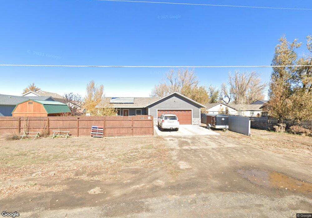
1865 Wyoming Ave Laramie, WY 82070
Estimated Value: $384,000 - $437,737
3
Beds
2
Baths
1,700
Sq Ft
$237/Sq Ft
Est. Value
About This Home
This home is located at 1865 Wyoming Ave, Laramie, WY 82070 and is currently estimated at $403,434, approximately $237 per square foot. 1865 Wyoming Ave is a home located in Albany County with nearby schools including Velma Linford Elementary School, Laramie Middle School, and Laramie High School.
Ownership History
Date
Name
Owned For
Owner Type
Purchase Details
Closed on
Nov 17, 2020
Sold by
Omalley David S and Omalley Jennifer L
Bought by
Moehrke Lisa C
Current Estimated Value
Home Financials for this Owner
Home Financials are based on the most recent Mortgage that was taken out on this home.
Original Mortgage
$280,250
Outstanding Balance
$249,383
Interest Rate
2.8%
Mortgage Type
New Conventional
Estimated Equity
$154,051
Create a Home Valuation Report for This Property
The Home Valuation Report is an in-depth analysis detailing your home's value as well as a comparison with similar homes in the area
Home Values in the Area
Average Home Value in this Area
Purchase History
| Date | Buyer | Sale Price | Title Company |
|---|---|---|---|
| Moehrke Lisa C | -- | First American Title |
Source: Public Records
Mortgage History
| Date | Status | Borrower | Loan Amount |
|---|---|---|---|
| Open | Moehrke Lisa C | $280,250 |
Source: Public Records
Tax History Compared to Growth
Tax History
| Year | Tax Paid | Tax Assessment Tax Assessment Total Assessment is a certain percentage of the fair market value that is determined by local assessors to be the total taxable value of land and additions on the property. | Land | Improvement |
|---|---|---|---|---|
| 2025 | $2,790 | $29,812 | $3,514 | $26,298 |
| 2024 | $2,790 | $38,220 | $4,505 | $33,715 |
| 2023 | $2,801 | $38,363 | $4,505 | $33,858 |
| 2022 | $2,426 | $33,234 | $4,505 | $28,729 |
| 2021 | $1,921 | $26,319 | $4,505 | $21,814 |
| 2020 | $2,000 | $27,392 | $4,071 | $23,321 |
| 2019 | $1,835 | $25,135 | $4,071 | $21,064 |
| 2018 | $1,683 | $23,048 | $3,398 | $19,650 |
| 2017 | $1,819 | $24,914 | $3,398 | $21,516 |
| 2016 | $1,795 | $24,585 | $2,961 | $21,624 |
| 2015 | $1,596 | $21,868 | $4,049 | $17,819 |
| 2014 | $1,364 | $21,690 | $0 | $0 |
Source: Public Records
Map
Nearby Homes
- 262 N Taylor St Unit 5
- 174 N Colorado Ave
- 2075 Jefferson St
- 153 N Adams St
- 2166 W Wyoming Ave Unit 29
- 2166 W Wyoming Ave Unit 25
- 370 S Buchanan St
- 427 S Pierce St
- 1666 Westview Dr
- 1572 Westview Ct
- 1560 Westview Ct
- 529 S Pierce St
- 1561 Westview Ct
- 1567 Westview Ct
- TBD LOT 2 N Mccue St
- TBD N Mccue St
- 541 S Johnson St
- 1012 A-B S Colorado Ave
- 954 N McCue St Lot 93 St
- 627 S Colorado Ave
- 155 N Buchanan St
- 154 N Pierce St
- 167 N Buchanan St
- 1872 Wyoming Ave
- 168 N Pierce St
- 170 N Pierce St
- 171 N Buchanan St
- 1860 Wyoming Ave
- 104 S Pierce St
- 181 N Buchanan St
- 178 N Pierce St
- 114 S Pierce St
- 157 N Pierce St
- 169 N Pierce St
- 175 N Pierce St
- 1962 Polk St
- 187 N Pierce St
- 1966 Polk St
- 254 N Pierce St
- 1953 Jefferson St