Estimated Value: $5,096,869
2
Beds
2
Baths
1,248
Sq Ft
$4,084/Sq Ft
Est. Value
About This Home
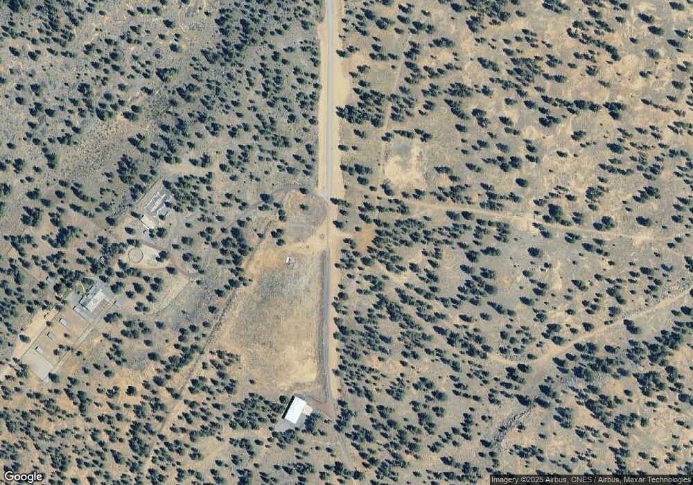
This home is located at 18650 Bull Springs Rd, Bend, OR 97703 and is currently estimated at $5,096,869, approximately $4,084 per square foot. 18650 Bull Springs Rd is a home located in Deschutes County with nearby schools including Tumalo Community School, Obsidian Middle School, and Ridgeview High School.
Ownership History
Date
Name
Owned For
Owner Type
Purchase Details
Closed on
Nov 6, 2024
Sold by
Verheyden James R and Verheyden Jean S
Bought by
Taylor Todd M and Taylor Lorri D
Current Estimated Value
Purchase Details
Closed on
Feb 15, 2019
Sold by
Zamundio-Leon Maria Linda
Bought by
Verheyden James R and Verheyden Jean S
Home Financials for this Owner
Home Financials are based on the most recent Mortgage that was taken out on this home.
Original Mortgage
$2,708,070
Interest Rate
4.5%
Mortgage Type
Commercial
Purchase Details
Closed on
Jun 16, 2015
Sold by
The Lotter Family Limited Partnership
Bought by
Zamudio Leon Maria Linda and Maria Linda Zamudio Leon Trust
Purchase Details
Closed on
Sep 29, 2010
Sold by
Mees Dieter and Mees Eva
Bought by
The Lotter Family Limited Partnership
Create a Home Valuation Report for This Property
The Home Valuation Report is an in-depth analysis detailing your home's value as well as a comparison with similar homes in the area
Home Values in the Area
Average Home Value in this Area
Purchase History
| Date | Buyer | Sale Price | Title Company |
|---|---|---|---|
| Taylor Todd M | -- | None Listed On Document | |
| Taylor Todd M | -- | None Listed On Document | |
| Verheyden James R | $2,800,000 | Western Title & Escrow | |
| Zamudio Leon Maria Linda | -- | None Available | |
| The Lotter Family Limited Partnership | $1,900,000 | Amerititle |
Source: Public Records
Mortgage History
| Date | Status | Borrower | Loan Amount |
|---|---|---|---|
| Previous Owner | Verheyden James R | $2,708,070 |
Source: Public Records
Tax History Compared to Growth
Tax History
| Year | Tax Paid | Tax Assessment Tax Assessment Total Assessment is a certain percentage of the fair market value that is determined by local assessors to be the total taxable value of land and additions on the property. | Land | Improvement |
|---|---|---|---|---|
| 2024 | $5,109 | $283,361 | -- | -- |
| 2023 | $4,920 | $275,232 | $0 | $0 |
| 2022 | $4,362 | $259,676 | $0 | $0 |
| 2021 | $4,357 | $252,239 | $0 | $0 |
| 2020 | $4,116 | $252,239 | $0 | $0 |
| 2019 | $4,052 | $240,921 | $0 | $0 |
| 2018 | $3,930 | $232,120 | $0 | $0 |
| 2017 | $3,852 | $225,478 | $0 | $0 |
Source: Public Records
Map
Nearby Homes
- 18790 Hakamore Dr
- 63220 Johnson Rd
- 63379 Silverado Dr
- 62734 Mt Hood Dr
- 62737 NW Mehama Dr
- 62659 NW Ember Place Unit Lot 32
- 62646 Mount Hood Dr Unit 45
- 62651 NW Ember Place Unit Lot 31
- 62475 NW Woodsman Loop
- 19169 NW Mt Shasta Ct
- 62654 NW Woodsman Ct
- 62720 NW Ridge Rock Ct
- 19201 NW Mount Shasta Dr
- 63420 Shoreline Dr
- 63280 Palla Ln
- 62636 NW Mt Thielsen Dr
- 3307 NW Massey Dr
- 3157 NW Shevlin Meadow Dr
- 283214 Archer Ridge Ct
- 2755 NW Champion Cir