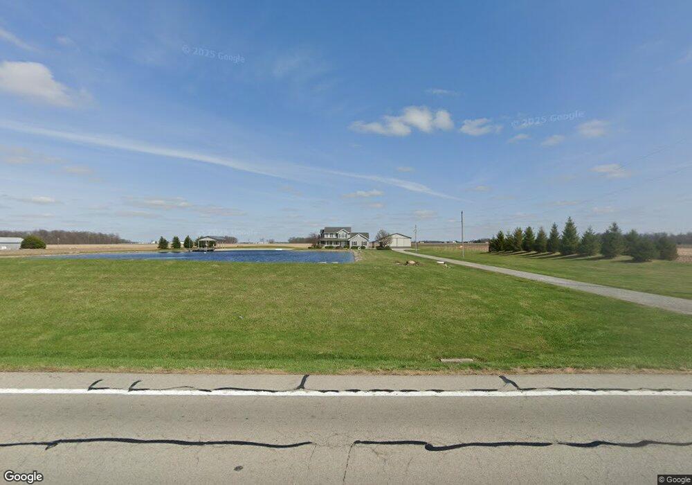
18657 State Route 115 Columbus Grove, OH 45830
Estimated Value: $296,000 - $391,444
3
Beds
1
Bath
2,330
Sq Ft
$141/Sq Ft
Est. Value
About This Home
This home is located at 18657 State Route 115, Columbus Grove, OH 45830 and is currently estimated at $328,815, approximately $141 per square foot. 18657 State Route 115 is a home located in Putnam County with nearby schools including Columbus Grove Elementary School, Columbus Grove Middle School, and Columbus Grove High School.
Ownership History
Date
Name
Owned For
Owner Type
Purchase Details
Closed on
Sep 23, 2005
Sold by
Busch Ronald W
Bought by
Smith Glen and Smith Lori
Current Estimated Value
Create a Home Valuation Report for This Property
The Home Valuation Report is an in-depth analysis detailing your home's value as well as a comparison with similar homes in the area
Home Values in the Area
Average Home Value in this Area
Purchase History
| Date | Buyer | Sale Price | Title Company |
|---|---|---|---|
| Smith Glen | -- | None Available |
Source: Public Records
Tax History Compared to Growth
Tax History
| Year | Tax Paid | Tax Assessment Tax Assessment Total Assessment is a certain percentage of the fair market value that is determined by local assessors to be the total taxable value of land and additions on the property. | Land | Improvement |
|---|---|---|---|---|
| 2024 | $3,360 | $112,230 | $13,160 | $99,070 |
| 2023 | $3,576 | $89,020 | $9,450 | $79,570 |
| 2022 | $3,260 | $89,019 | $9,450 | $79,569 |
| 2021 | $3,277 | $89,020 | $9,450 | $79,570 |
| 2020 | $3,284 | $73,010 | $11,060 | $61,950 |
| 2019 | $2,889 | $80,220 | $9,450 | $70,770 |
| 2018 | $2,894 | $80,220 | $9,450 | $70,770 |
| 2017 | $2,583 | $80,220 | $9,450 | $70,770 |
| 2016 | $2,583 | $73,010 | $11,060 | $61,950 |
| 2015 | $2,597 | $73,010 | $11,060 | $61,950 |
| 2014 | $2,622 | $73,010 | $11,060 | $61,950 |
| 2013 | $2,609 | $71,560 | $9,610 | $61,950 |
Source: Public Records
Map
Nearby Homes
- 147 Elm St
- 148 S Water St
- 15105 Road 15m
- 11059 Ottawa Rd
- 4150 W Lincoln Hwy
- 308 Delphos Rd
- 209 Willow Bend Dr
- 2525 W Lincoln Hwy
- 205 S Broadway St
- 204 S Broadway St
- 106 Carnation St
- 20501 U S 224
- 17736 Road 20p
- 6585 Ottawa Rd
- 300 Sweaney Ave
- 309 Wall St
- 201 Wall St
- 220 Parklane Dr
- 3798 Kissing Hollow Dr
- 6585 Huffer Rd
- 18567 State Route 115
- 18526 State Route 115
- 18417 State Route 115
- 18951 State Route 115
- 15378 Road S
- 15234 Road S
- 19099 State Route 115
- 15784 Road S
- 19189 State Route 115
- 14954 Road S
- 15846 Road S
- 14999 Road S
- 15894 Road S
- 15225 Road R
- 14825 Road S
- 14735 Road S
- 19514 State Route 115
- 15040 Road R
- 19398 State Route 115