1866 Eastbrook Rd New Castle, PA 16101
Estimated Value: $391,000
--
Bed
1
Bath
--
Sq Ft
20.84
Acres
About This Home
This home is located at 1866 Eastbrook Rd, New Castle, PA 16101 and is currently estimated at $391,000. 1866 Eastbrook Rd is a home located in Lawrence County with nearby schools including Laurel Elementary School, Laurel High School, and St. Vitus School.
Ownership History
Date
Name
Owned For
Owner Type
Purchase Details
Closed on
Apr 26, 2007
Sold by
Mitcheltree Ronalyn D
Bought by
Forbes Blaine E and Forbes Kimberly A
Current Estimated Value
Home Financials for this Owner
Home Financials are based on the most recent Mortgage that was taken out on this home.
Original Mortgage
$600,000
Outstanding Balance
$365,161
Interest Rate
6.18%
Mortgage Type
Construction
Estimated Equity
$25,839
Purchase Details
Closed on
Sep 15, 2005
Sold by
Patterson Josephine J and Robert Patterson J
Bought by
Mitcheltree Ronalyn D
Create a Home Valuation Report for This Property
The Home Valuation Report is an in-depth analysis detailing your home's value as well as a comparison with similar homes in the area
Home Values in the Area
Average Home Value in this Area
Purchase History
| Date | Buyer | Sale Price | Title Company |
|---|---|---|---|
| Forbes Blaine E | $327,500 | None Available | |
| Mitcheltree Ronalyn D | $227,500 | None Available |
Source: Public Records
Mortgage History
| Date | Status | Borrower | Loan Amount |
|---|---|---|---|
| Open | Forbes Blaine E | $600,000 |
Source: Public Records
Tax History Compared to Growth
Tax History
| Year | Tax Paid | Tax Assessment Tax Assessment Total Assessment is a certain percentage of the fair market value that is determined by local assessors to be the total taxable value of land and additions on the property. | Land | Improvement |
|---|---|---|---|---|
| 2025 | $8,350 | $325,100 | $325,100 | $0 |
| 2024 | $7,967 | $325,100 | $325,100 | $0 |
| 2023 | $7,822 | $325,100 | $325,100 | $0 |
| 2022 | $7,822 | $325,100 | $325,100 | $0 |
| 2021 | $7,822 | $325,100 | $325,100 | $0 |
| 2020 | $7,822 | $325,100 | $325,100 | $0 |
| 2019 | $7,497 | $325,100 | $325,100 | $0 |
| 2018 | $7,432 | $325,100 | $325,100 | $0 |
| 2017 | $7,043 | $325,100 | $325,100 | $0 |
| 2016 | $519 | $325,100 | $325,100 | $0 |
| 2015 | $519 | $325,100 | $325,100 | $0 |
| 2014 | $519 | $325,100 | $325,100 | $0 |
Source: Public Records
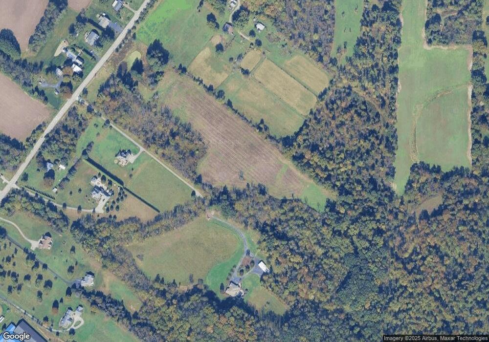
Map
Nearby Homes
- 945 E Maitland Ln
- 2612 Graceland Rd
- 1426 Eastbrook Rd
- 1328 N Croton Ave
- 419 Hawthorne St
- 411 Duquesne St
- 0 Glendale Ave
- 406 N Cascade St
- 603 E Edgewood Ave
- 1012 Loraine Ave
- 7 Point Place
- 1418 Neshannock Blvd
- 450 Falls Ave
- 307 N Cascade St
- 0 E Maitland Ln Unit 1680590
- 2310 Delaware Ave
- 82 Blews Way
- 204 N Cascade St
- 2303 Delaware Ave
- 305 N Vine St
- 1861 Eastbrook Rd
- 1865 Eastbrook Rd
- 1858 Eastbrook Rd
- 1867 Eastbrook Rd
- 1869 Eastbrook Rd
- 1842 Eastbrook Rd
- 1875 Eastbrook Rd
- 1846 Eastbrook Rd
- 176 Brook Dr
- 1877 Eastbrook Rd
- 1044 W Moffatt Rd
- 1040 W Moffatt Rd
- 1879 Eastbrook Rd
- 1034 W Moffatt Rd
- 1841 Eastbrook Rd
- 1032 W Moffatt Rd
- 1838 Eastbrook Rd
- 1839 Eastbrook Rd
- 1039 W Moffatt Rd
- 1030 W Moffatt Rd