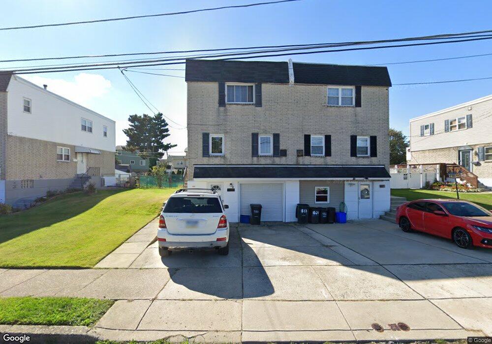
1866 Foster St Philadelphia, PA 19116
Somerton NeighborhoodEstimated Value: $366,000 - $442,000
4
Beds
1
Bath
1,554
Sq Ft
$257/Sq Ft
Est. Value
About This Home
This home is located at 1866 Foster St, Philadelphia, PA 19116 and is currently estimated at $399,179, approximately $256 per square foot. 1866 Foster St is a home with nearby schools including Frank Anne School, CCA Baldi Middle School, and George Washington High School.
Ownership History
Date
Name
Owned For
Owner Type
Purchase Details
Closed on
Nov 20, 2002
Sold by
Kipnis Leonid and Kipnis Margarita
Bought by
Kipnis Sofia
Current Estimated Value
Home Financials for this Owner
Home Financials are based on the most recent Mortgage that was taken out on this home.
Original Mortgage
$152,000
Interest Rate
6.07%
Create a Home Valuation Report for This Property
The Home Valuation Report is an in-depth analysis detailing your home's value as well as a comparison with similar homes in the area
Home Values in the Area
Average Home Value in this Area
Purchase History
| Date | Buyer | Sale Price | Title Company |
|---|---|---|---|
| Kipnis Sofia | $160,000 | Old Republic Natl Title Ins |
Source: Public Records
Mortgage History
| Date | Status | Borrower | Loan Amount |
|---|---|---|---|
| Closed | Kipnis Sofia | $152,000 |
Source: Public Records
Tax History Compared to Growth
Tax History
| Year | Tax Paid | Tax Assessment Tax Assessment Total Assessment is a certain percentage of the fair market value that is determined by local assessors to be the total taxable value of land and additions on the property. | Land | Improvement |
|---|---|---|---|---|
| 2025 | $3,963 | $353,100 | $70,620 | $282,480 |
| 2024 | $3,963 | $353,100 | $70,620 | $282,480 |
| 2023 | $3,963 | $283,100 | $56,620 | $226,480 |
| 2022 | $3,276 | $283,100 | $56,620 | $226,480 |
| 2021 | $3,276 | $0 | $0 | $0 |
| 2020 | $3,276 | $0 | $0 | $0 |
| 2019 | $3,084 | $0 | $0 | $0 |
| 2018 | $2,843 | $0 | $0 | $0 |
| 2017 | $2,843 | $0 | $0 | $0 |
| 2016 | $2,843 | $0 | $0 | $0 |
| 2015 | $2,722 | $0 | $0 | $0 |
| 2014 | -- | $203,100 | $153,856 | $49,244 |
| 2012 | -- | $23,456 | $3,722 | $19,734 |
Source: Public Records
Map
Nearby Homes
- 1724 Nathaniel Dr
- 1829 Tomlinson Rd
- 1912 Tomlinson Rd
- 1112 Selmer Rd
- 10123 Alexandra Ln
- 859 Selmer Rd
- 11003 Stevens Rd
- 831 Lawler St
- 2044 Gorman St
- 9990 Sandy Rd
- 9987 Hardy Rd
- 825 Delray St
- 813 Piermont St
- 818 Burgess St
- 770 Selmer Rd
- 9921 Bustleton Ave Unit K11
- 9921 Bustleton Ave Unit P3
- 9926 00 Haldeman Ave
- 9926 Haldeman Unit#133 Ave
- 9926 Haldeman Ave
- 1864 Foster St
- 1868 Foster St
- 1860 Foster St
- 1862 Foster St
- 1870 Foster St
- 1872 Foster St
- 1874 Foster St
- 10225 Jamison Ave
- 10219 Jamison Ave
- 10221 Jamison Ave
- 10223 Jamison Ave
- 1853 Sanford St
- 1851 Sanford St
- 10217 Jamison Ave
- 1855 Sanford St
- 1849 Sanford St
- 1876 Foster St
- 1750 Tomlinson Rd
- 1857 Sanford St
- 1878 Foster St