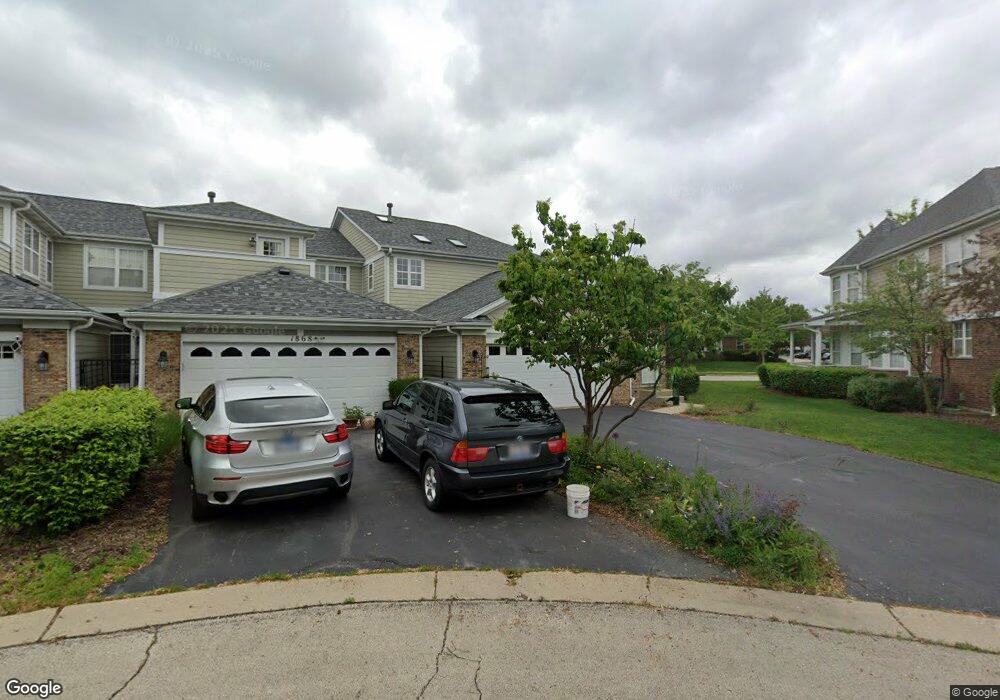
1866 Keystone Place Unit 59 Schaumburg, IL 60193
South Schaumburg NeighborhoodEstimated Value: $536,490 - $580,000
3
Beds
4
Baths
2,712
Sq Ft
$204/Sq Ft
Est. Value
About This Home
This home is located at 1866 Keystone Place Unit 59, Schaumburg, IL 60193 and is currently estimated at $552,373, approximately $203 per square foot. 1866 Keystone Place Unit 59 is a home located in Cook County with nearby schools including Hanover Highlands Elementary School, Robert Frost Junior High School, and Schaumburg High School.
Ownership History
Date
Name
Owned For
Owner Type
Purchase Details
Closed on
Feb 17, 2006
Sold by
Prairie Bank & Trust Co
Bought by
Kittelton Michael X and Kittelton Diana Marie
Current Estimated Value
Home Financials for this Owner
Home Financials are based on the most recent Mortgage that was taken out on this home.
Original Mortgage
$300,000
Interest Rate
5.5%
Mortgage Type
Unknown
Create a Home Valuation Report for This Property
The Home Valuation Report is an in-depth analysis detailing your home's value as well as a comparison with similar homes in the area
Home Values in the Area
Average Home Value in this Area
Purchase History
| Date | Buyer | Sale Price | Title Company |
|---|---|---|---|
| Kittelton Michael X | $446,500 | Cti |
Source: Public Records
Mortgage History
| Date | Status | Borrower | Loan Amount |
|---|---|---|---|
| Previous Owner | Kittelton Michael X | $300,000 |
Source: Public Records
Tax History Compared to Growth
Tax History
| Year | Tax Paid | Tax Assessment Tax Assessment Total Assessment is a certain percentage of the fair market value that is determined by local assessors to be the total taxable value of land and additions on the property. | Land | Improvement |
|---|---|---|---|---|
| 2024 | $9,996 | $39,000 | $5,500 | $33,500 |
| 2023 | $9,665 | $39,000 | $5,500 | $33,500 |
| 2022 | $9,665 | $39,000 | $5,500 | $33,500 |
| 2021 | $8,382 | $30,986 | $1,399 | $29,587 |
| 2020 | $8,306 | $30,986 | $1,399 | $29,587 |
| 2019 | $8,413 | $34,816 | $1,399 | $33,417 |
| 2018 | $8,973 | $33,334 | $1,234 | $32,100 |
| 2017 | $8,849 | $33,334 | $1,234 | $32,100 |
| 2016 | $8,518 | $33,334 | $1,234 | $32,100 |
| 2015 | $10,395 | $37,369 | $1,070 | $36,299 |
| 2014 | $10,297 | $37,369 | $1,070 | $36,299 |
| 2013 | $10,774 | $37,369 | $1,070 | $36,299 |
Source: Public Records
Map
Nearby Homes
- 1410 Brownstone Place Unit 38
- 1882 Keystone Place Unit 1882
- 7018 Orchard Ln
- 7031 Glenwood Ln
- 1463 Mercury Dr Unit 304
- 1463 Mercury Dr Unit 115
- 1463 Mercury Dr Unit 408
- 7468 Filmore Ave
- 763 Verandah Dr
- 1460 Fairlane Dr Unit 513
- 1460 Fairlane Dr Unit 228
- 1460 Fairlane Dr Unit 106
- 6908 Orchard Ln
- 1309 Fairlane Dr
- 1515 Mercury Dr Unit 4
- 6915 Hawthorne Ln
- 7418 Nantucket Cove
- 1020 Webster Ln
- 1011 Mercury Dr Unit 7
- 6857 Hawthorne Ln
- 1868 Keystone Place Unit 60
- 1870 Keystone Place Unit 61
- 1864 Keystone Place Unit 58
- 1872 Keystone Place Unit 62
- 1862 Keystone Place Unit 57
- 1874 Keystone Place Unit 63
- 1876 Keystone Place Unit 64
- 1860 Keystone Place Unit 56
- 1878 Keystone Place Unit 65
- 1414 Brownstone Place Unit 40
- 1858 Keystone Place
- 1880 Keystone Place Unit 66
- 1856 Keystone Place Unit 54
- 1412 Brownstone Place Unit 39
- 1882 Keystone Place Unit 67
- 1415 Brownstone Place Unit 25
- 1854 Keystone Place Unit 53
- 1854 Keystone Place
- 1884 Keystone Place Unit 68
- 1413 Brownstone Place Unit 26