1866 Mark Twain Ct Ann Arbor, MI 48103
Estimated Value: $550,000 - $634,000
4
Beds
3
Baths
2,479
Sq Ft
$236/Sq Ft
Est. Value
About This Home
This home is located at 1866 Mark Twain Ct, Ann Arbor, MI 48103 and is currently estimated at $584,695, approximately $235 per square foot. 1866 Mark Twain Ct is a home located in Washtenaw County with nearby schools including Lakewood Elementary School, Slauson Middle School, and Pioneer High School.
Ownership History
Date
Name
Owned For
Owner Type
Purchase Details
Closed on
Oct 13, 2010
Sold by
Dyer John Robert and Dyer David Lloyd
Bought by
Melcher Eric C
Current Estimated Value
Home Financials for this Owner
Home Financials are based on the most recent Mortgage that was taken out on this home.
Original Mortgage
$224,627
Outstanding Balance
$147,550
Interest Rate
4.26%
Mortgage Type
VA
Estimated Equity
$437,145
Create a Home Valuation Report for This Property
The Home Valuation Report is an in-depth analysis detailing your home's value as well as a comparison with similar homes in the area
Home Values in the Area
Average Home Value in this Area
Purchase History
| Date | Buyer | Sale Price | Title Company |
|---|---|---|---|
| Melcher Eric C | $219,900 | None Available |
Source: Public Records
Mortgage History
| Date | Status | Borrower | Loan Amount |
|---|---|---|---|
| Open | Melcher Eric C | $224,627 |
Source: Public Records
Tax History Compared to Growth
Tax History
| Year | Tax Paid | Tax Assessment Tax Assessment Total Assessment is a certain percentage of the fair market value that is determined by local assessors to be the total taxable value of land and additions on the property. | Land | Improvement |
|---|---|---|---|---|
| 2025 | -- | $255,200 | $0 | $0 |
| 2024 | $4,466 | $240,400 | $0 | $0 |
| 2023 | $4,292 | $195,900 | $0 | $0 |
| 2022 | $6,035 | $198,700 | $0 | $0 |
| 2021 | $5,731 | $195,800 | $0 | $0 |
| 2020 | $5,856 | $186,000 | $0 | $0 |
| 2019 | $5,422 | $175,900 | $175,900 | $0 |
| 2018 | $5,279 | $166,800 | $0 | $0 |
| 2017 | $5,087 | $178,700 | $0 | $0 |
| 2016 | $3,567 | $140,263 | $0 | $0 |
| 2015 | -- | $139,844 | $0 | $0 |
| 2014 | -- | $135,475 | $0 | $0 |
| 2013 | -- | $135,475 | $0 | $0 |
Source: Public Records
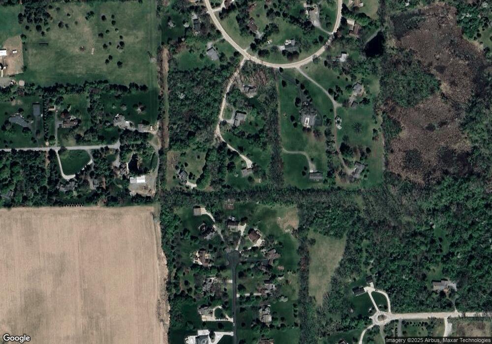
Map
Nearby Homes
- 1480 Shevchenko Dr
- 4944 Scio Church Rd
- 2001 Commerce Dr
- #24 Loon Ln
- #53 Loon Ln
- 1840 Tapadera Dr
- The Granada Plan at Cranbrook of Scio
- The Champlain Plan at Cranbrook of Scio
- The Palisade Plan at Cranbrook of Scio
- 5717 Villa France Ave Unit 78
- 560 Little Lake Dr Unit 23
- 4257 Loon Ln
- 4445 Oriole Ct
- 4261 Loon Ln
- 1286 Stags Leap Ln
- 4290 Duck Dr Unit 18
- 1192 Stags Leap Ln
- 4870 Lytham Ln
- 4229 Loon Ln
- 331 Scio Village Ct Unit 288
- 1509 High Hollow Dr
- 1447 Mark Twain Ct
- 1464 Shevchenko Dr
- 1478 Mark Twain Ct
- 1527 High Hollow Dr
- 1312 Shevchenko Dr
- 1522 High Hollow Dr
- 1417 Mark Twain Ct
- 1545 High Hollow Dr
- 1534 High Hollow Dr
- 1581 High Hollow Dr
- 1274 Shevchenko Dr
- 1560 High Hollow Dr
- 1401 S Zeeb Rd
- 1441 Shevchenko Dr
- 1315 Shevchenko Dr
- 1389 S Zeeb Rd
- 1273 Shevchenko Dr
- 1617 High Hollow Dr
- 1336 Shevchenko Dr