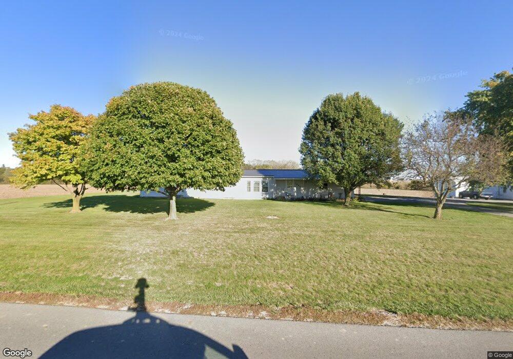
1866 Township Line Rd Saint Henry, OH 45883
Estimated Value: $264,000 - $549,000
2
Beds
2
Baths
1,704
Sq Ft
$209/Sq Ft
Est. Value
About This Home
This home is located at 1866 Township Line Rd, Saint Henry, OH 45883 and is currently estimated at $356,572, approximately $209 per square foot. 1866 Township Line Rd is a home located in Mercer County with nearby schools including St. Henry Elementary School, St. Henry Middle School, and St. Henry High School.
Ownership History
Date
Name
Owned For
Owner Type
Purchase Details
Closed on
Aug 4, 2017
Sold by
Wendel Kathleen M and Wendel Donald F
Bought by
Wendel Kathleen M and Wendel Donald F
Current Estimated Value
Purchase Details
Closed on
Mar 21, 1988
Bought by
Wendel Donald F and Wendel Kathleen
Create a Home Valuation Report for This Property
The Home Valuation Report is an in-depth analysis detailing your home's value as well as a comparison with similar homes in the area
Home Values in the Area
Average Home Value in this Area
Purchase History
| Date | Buyer | Sale Price | Title Company |
|---|---|---|---|
| Wendel Kathleen M | -- | Attorney | |
| Wendel Donald F | -- | -- |
Source: Public Records
Tax History Compared to Growth
Tax History
| Year | Tax Paid | Tax Assessment Tax Assessment Total Assessment is a certain percentage of the fair market value that is determined by local assessors to be the total taxable value of land and additions on the property. | Land | Improvement |
|---|---|---|---|---|
| 2024 | $2,153 | $73,960 | $11,520 | $62,440 |
| 2023 | $2,153 | $73,960 | $11,520 | $62,440 |
| 2022 | $1,707 | $54,670 | $6,790 | $47,880 |
| 2021 | $1,738 | $54,670 | $6,790 | $47,880 |
| 2020 | $1,729 | $54,670 | $6,790 | $47,880 |
| 2019 | $1,569 | $49,670 | $6,020 | $43,650 |
| 2018 | $1,677 | $49,670 | $6,020 | $43,650 |
| 2017 | $1,928 | $49,670 | $6,020 | $43,650 |
| 2016 | $1,806 | $43,230 | $5,990 | $37,240 |
| 2015 | $1,757 | $43,230 | $5,990 | $37,240 |
| 2014 | $1,730 | $43,300 | $5,990 | $37,310 |
| 2013 | $1,658 | $39,700 | $5,500 | $34,200 |
Source: Public Records
Map
Nearby Homes
- 4543 Lange Rd
- 0 Ohio 118
- 304 S Wayne St
- 201 W Wiggs St
- 207 W Butler St
- 4475 Ohio 705
- 420 S 1st St
- 820 Mary Ln
- 401 N Cedar St
- 426 E Walnut St
- 821 Butler St
- 912 Emerald Ave
- 314 E North St
- 402 E Elizabeth St
- 501 N 2nd St
- 721 Lilac Dr
- 63 Cassella-Montezuma Rd
- 45 Cassella Montezuma Rd
- 21 E Star Rd
- 3709 Rossburg-Lightsville Rd
- 1716 Township Line Rd
- 1722 Township Line Rd
- 1835 Township Line Rd
- 1697 Township Line Rd
- 1702 Township Line Rd
- 1673 Township Line Rd
- 1676 Township Line Rd
- 3051 Lange Rd
- 3045 Fort Recovery-Minster Rd
- 1653 Township Line Rd
- 1662 Township Line Rd
- 2997 Fort Recovery Minster Rd
- 3095 Lange Rd
- 3065 Fort Recovery-Minster Rd
- 2981 Fort Recovery-Minster Rd
- 3075 Fort Recovery Minster Rd
- 3085 Fort Recovery Minster Rd
- 2817 Fort Recovery Minster Rd
- 3147 Fort Recovery Minster Rd
- 3150 Fort Recovery Minster Rd