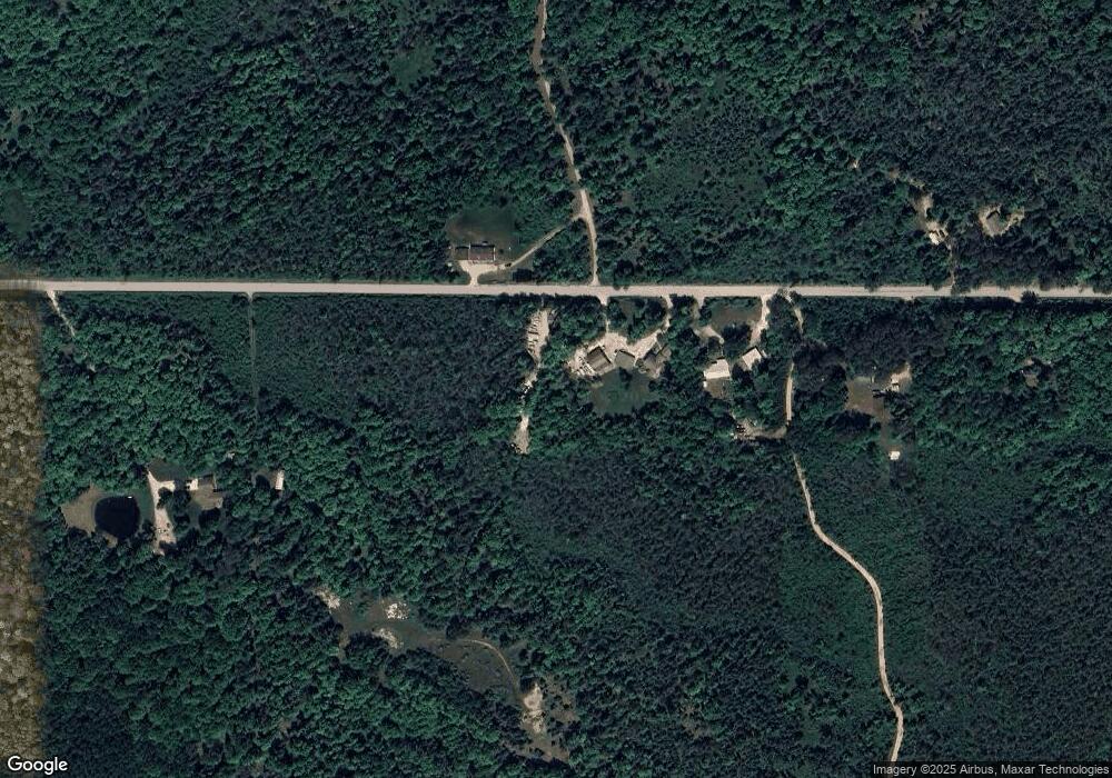
1867 10th Rd Bark River, MI 49807
Estimated Value: $247,524 - $496,000
Studio
--
Bath
--
Sq Ft
5.96
Acres
About This Home
This home is located at 1867 10th Rd, Bark River, MI 49807 and is currently estimated at $328,131. 1867 10th Rd is a home located in Delta County with nearby schools including Bark River-Harris Elementary School and Bark River-Harris Jr/Sr High School.
Ownership History
Date
Name
Owned For
Owner Type
Purchase Details
Closed on
Jan 30, 2015
Sold by
Anthony R Anthony R and Heintz Geraldine L
Bought by
Thurber James C and Thurber Lola L
Current Estimated Value
Purchase Details
Closed on
Jan 16, 2012
Sold by
Starnes Darryl L and Starnes Laurel J
Bought by
Thurber James C and Thurber Lola L
Home Financials for this Owner
Home Financials are based on the most recent Mortgage that was taken out on this home.
Original Mortgage
$66,300
Outstanding Balance
$45,344
Interest Rate
3.93%
Mortgage Type
Future Advance Clause Open End Mortgage
Estimated Equity
$282,787
Create a Home Valuation Report for This Property
The Home Valuation Report is an in-depth analysis detailing your home's value as well as a comparison with similar homes in the area
Purchase History
| Date | Buyer | Sale Price | Title Company |
|---|---|---|---|
| Thurber James C | -- | -- | |
| Thurber James C | -- | -- |
Source: Public Records
Mortgage History
| Date | Status | Borrower | Loan Amount |
|---|---|---|---|
| Open | Thurber James C | $66,300 |
Source: Public Records
Tax History
| Year | Tax Paid | Tax Assessment Tax Assessment Total Assessment is a certain percentage of the fair market value that is determined by local assessors to be the total taxable value of land and additions on the property. | Land | Improvement |
|---|---|---|---|---|
| 2025 | $1,141 | $120,800 | $0 | $0 |
| 2024 | $1,109 | $116,000 | $0 | $0 |
| 2023 | $1,059 | $95,800 | $0 | $0 |
| 2022 | $2,289 | $98,900 | $0 | $0 |
| 2021 | $1,923 | $71,900 | $0 | $0 |
| 2020 | $1,895 | $74,500 | $0 | $0 |
| 2019 | $1,828 | $66,900 | $0 | $0 |
| 2018 | $1,732 | $73,700 | $0 | $0 |
| 2017 | $645 | $78,600 | $0 | $0 |
| 2016 | $1,602 | $78,400 | $0 | $0 |
| 2014 | -- | $57,200 | $0 | $0 |
| 2013 | -- | $61,800 | $0 | $0 |
Source: Public Records
Map
Nearby Homes
- 3143 D Rd
- 4318 K Rd
- 1070 Michigan 35
- N16246 Co 557 Rd
- 4237 M Rd
- TBD 13 75
- TBD 19th Ln
- TBD Danforth M 2 Blvd
- 0 State Highway M-35 Hwy
- TBD Old State South Rd
- 7011 G 75
- 1620 Willow Creek Rd Unit Lot 13
- W715 Rd
- TBD Cr 400 Parcel B Rd
- US HWY 2 & 41
- 1930 S 22nd St
- 1115 S Lincoln Rd
- 1115 S 21st St
- 2414 Ludington St
- 1617 17th Ave S
