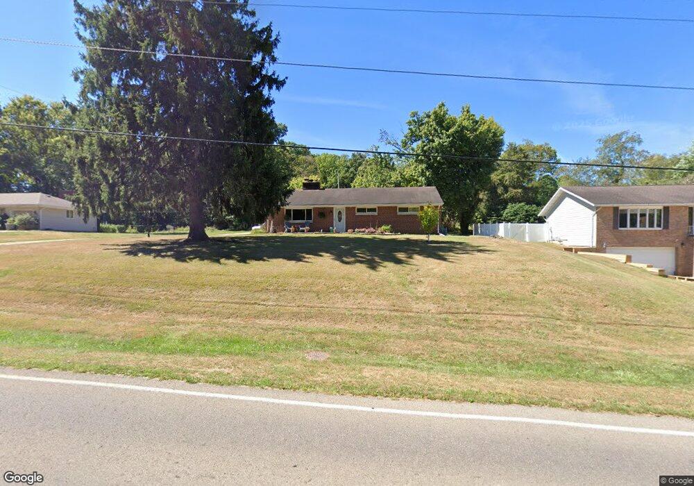
1867 Baltimore Rd NW Lancaster, OH 43130
Estimated Value: $243,000 - $291,000
3
Beds
2
Baths
1,344
Sq Ft
$195/Sq Ft
Est. Value
About This Home
This home is located at 1867 Baltimore Rd NW, Lancaster, OH 43130 and is currently estimated at $262,692, approximately $195 per square foot. 1867 Baltimore Rd NW is a home located in Fairfield County with nearby schools including Tarhe Elementary School, General Sherman Junior High School, and Lancaster High School.
Ownership History
Date
Name
Owned For
Owner Type
Purchase Details
Closed on
Jul 26, 2018
Sold by
Bryant Benny R and Bryant Jamie L
Bought by
Bryant Benny R
Current Estimated Value
Home Financials for this Owner
Home Financials are based on the most recent Mortgage that was taken out on this home.
Original Mortgage
$129,125
Interest Rate
4.5%
Mortgage Type
VA
Purchase Details
Closed on
Dec 11, 2003
Sold by
Henry Carol C and Bailey Nancee I
Bought by
Bryant Benny R and Bryant Jamie L
Home Financials for this Owner
Home Financials are based on the most recent Mortgage that was taken out on this home.
Original Mortgage
$128,520
Interest Rate
5.91%
Mortgage Type
VA
Create a Home Valuation Report for This Property
The Home Valuation Report is an in-depth analysis detailing your home's value as well as a comparison with similar homes in the area
Home Values in the Area
Average Home Value in this Area
Purchase History
| Date | Buyer | Sale Price | Title Company |
|---|---|---|---|
| Bryant Benny R | -- | Nationallink | |
| Bryant Benny R | $126,000 | Title First |
Source: Public Records
Mortgage History
| Date | Status | Borrower | Loan Amount |
|---|---|---|---|
| Closed | Bryant Benny R | $129,125 | |
| Closed | Bryant Ii Benny R | $11,600 | |
| Closed | Bryant Benny R | $109,879 | |
| Closed | Bryant Benny R | $128,520 |
Source: Public Records
Tax History Compared to Growth
Tax History
| Year | Tax Paid | Tax Assessment Tax Assessment Total Assessment is a certain percentage of the fair market value that is determined by local assessors to be the total taxable value of land and additions on the property. | Land | Improvement |
|---|---|---|---|---|
| 2024 | $5,278 | $58,710 | $11,760 | $46,950 |
| 2023 | $2,136 | $58,710 | $11,760 | $46,950 |
| 2022 | $2,144 | $58,710 | $11,760 | $46,950 |
| 2021 | $1,845 | $47,330 | $11,760 | $35,570 |
| 2020 | $1,768 | $47,330 | $11,760 | $35,570 |
| 2019 | $1,681 | $47,330 | $11,760 | $35,570 |
| 2018 | $1,455 | $36,980 | $11,760 | $25,220 |
| 2017 | $1,456 | $38,920 | $11,170 | $27,750 |
| 2016 | $1,418 | $38,920 | $11,170 | $27,750 |
| 2015 | $1,413 | $37,660 | $11,170 | $26,490 |
| 2014 | $1,346 | $37,660 | $11,170 | $26,490 |
| 2013 | $1,346 | $37,660 | $11,170 | $26,490 |
Source: Public Records
Map
Nearby Homes
- 189 Berkeley Dr
- 260 Scott Dr
- 319 Greenfield Ave
- 218 Marvel Dr
- 1700 N Columbus St
- 0 Wacker Dr Unit 225036189
- 226 Whittier Dr S
- 1511 N Columbus St
- 2195 Olde Ridge Ct
- 626 Rainbow Dr NW
- 603 Edgewood Ave
- 0 Marks Ave Unit 225036443
- 1632 Bush Hill Dr
- 1318 Graf St
- 1707 River Valley N Cir
- 173 Lakeview Dr NE
- 1190 N Columbus St
- 815 Beacon St
- 1000 Goodwin Ave
- 1833 Autumn Dr
- 1873 Baltimore Rd NW
- 1853 Baltimore Rd NW
- 1845 Baltimore Rd NW
- 1878 Baltimore Rd NW
- 1862 Baltimore Rd NW
- 1839 Baltimore Rd NW
- 1855 Baltimore Rd NW
- 1890 Baltimore Rd NW
- 1838 Baltimore Rd NW
- 1838 Baltimore Rd NW
- 1819 Baltimore Rd NW
- 1826 Baltimore Rd NW
- 1813 Baltimore Rd NW
- 1803 Baltimore Rd NW
- 1832 Baltimore Rd NW
- 1797 Baltimore Rd NW
- 1806 Baltimore Rd NW
- 1796 Baltimore Rd NW
- 1340 Lancaster-Kirkersville Rd NW
- 1340 Lancaster Kirkersville Rd NW