Estimated Value: $279,994 - $342,000
2
Beds
2
Baths
1,441
Sq Ft
$211/Sq Ft
Est. Value
About This Home
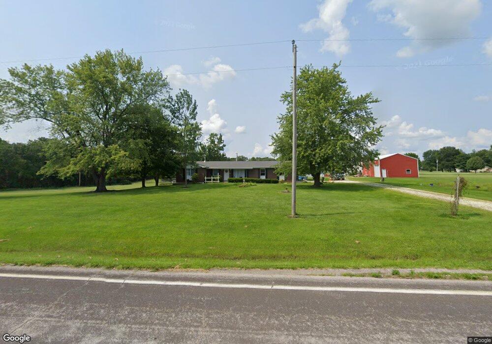
This home is located at 1867 Highway Kk, Troy, MO 63379 and is currently estimated at $304,331, approximately $211 per square foot. 1867 Highway Kk is a home located in Lincoln County with nearby schools including Boone Elementary School, Troy Middle School, and Troy Buchanan High School.
Ownership History
Date
Name
Owned For
Owner Type
Purchase Details
Closed on
Dec 9, 2020
Sold by
Gillespie Brenda M and The Finger Residence Family Tr
Bought by
Kunza Anthony W and Kunza Bridgett
Current Estimated Value
Home Financials for this Owner
Home Financials are based on the most recent Mortgage that was taken out on this home.
Original Mortgage
$125,000
Interest Rate
2.8%
Mortgage Type
Future Advance Clause Open End Mortgage
Purchase Details
Closed on
May 31, 2017
Sold by
Finger James M and Finger Leona M
Bought by
Finger James M and Finger Leona M
Home Financials for this Owner
Home Financials are based on the most recent Mortgage that was taken out on this home.
Original Mortgage
$75,400
Interest Rate
3.97%
Mortgage Type
New Conventional
Create a Home Valuation Report for This Property
The Home Valuation Report is an in-depth analysis detailing your home's value as well as a comparison with similar homes in the area
Purchase History
| Date | Buyer | Sale Price | Title Company |
|---|---|---|---|
| Kunza Anthony W | -- | Meyer Title Co | |
| Finger James M | -- | None Available |
Source: Public Records
Mortgage History
| Date | Status | Borrower | Loan Amount |
|---|---|---|---|
| Closed | Kunza Anthony W | $125,000 | |
| Previous Owner | Finger James M | $75,400 |
Source: Public Records
Tax History
| Year | Tax Paid | Tax Assessment Tax Assessment Total Assessment is a certain percentage of the fair market value that is determined by local assessors to be the total taxable value of land and additions on the property. | Land | Improvement |
|---|---|---|---|---|
| 2025 | $1,904 | $31,145 | $5,320 | $25,825 |
| 2024 | $1,811 | $29,064 | $4,940 | $24,124 |
| 2023 | $1,801 | $29,064 | $4,940 | $24,124 |
| 2022 | $1,737 | $27,892 | $4,940 | $22,952 |
| 2021 | $1,746 | $146,800 | $0 | $0 |
| 2020 | $1,553 | $130,500 | $0 | $0 |
| 2019 | $1,555 | $130,500 | $0 | $0 |
| 2018 | $1,532 | $24,126 | $0 | $0 |
| 2017 | $1,536 | $24,126 | $0 | $0 |
| 2016 | $1,401 | $21,455 | $0 | $0 |
| 2015 | $1,404 | $21,455 | $0 | $0 |
| 2014 | $1,422 | $21,666 | $0 | $0 |
| 2013 | -- | $21,481 | $0 | $0 |
Source: Public Records
Map
Nearby Homes
- 220 Hawkins Ridge Ct
- 3480 Highway Kk
- 1 Rochester @ Summit Park Hills
- 748 Walker Rd
- 285 Graves Ln
- 59.371 Ac Dream Hollow Rd
- 0 Lot 1 Winding Trail Unit MIS25077309
- 6 Crow Ct
- 21 Green Valley Dr
- 110 Cheatham Farm Ln
- 171 Windy Hill Rd (20+ - Acres)
- 171 Windy Hill Rd
- 119 Davis Rd
- 109 Cheatham Farm Ln
- 30 Breanna Blvd
- 30 Jenna Lee Ct
- 11 Sherman Dr
- 124 Merz Meadows Dr
- 130 Merz Meadows Dr
- 6006 Saddle Ridge Rd
- 1847 Highway Kk
- 1847 Highway Kk
- 33 Sunset Acres Dr
- 1893 Highway Kk
- 1844 Highway Kk
- 36 Sunset Acres Dr
- 43 Sunset Acres Dr
- Highway Kk (10+ - Acres)
- 1921 Highway Kk
- 65 Sunset Acres Dr
- 47 Sunset Acres Dr
- 99 Sunset Acres Dr
- 0 Hwy Kk
- 11 Harmony Grove Rd
- 3 Harmony Grove Rd Unit Lot 3
- 2 Harmony Grove Rd Unit Lot 2
- 98 Robinson Rd
- 0154 +/- Acres Harmony Grove Rd
- 0 Harmony Grove Rd Unit Lot 1
- 8 Harmony Grove Rd
Your Personal Tour Guide
Ask me questions while you tour the home.