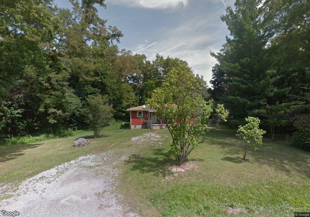
1867 Hulit Rd Mansfield, OH 44903
Estimated Value: $124,000 - $163,000
2
Beds
1
Bath
1,040
Sq Ft
$145/Sq Ft
Est. Value
About This Home
This home is located at 1867 Hulit Rd, Mansfield, OH 44903 and is currently estimated at $150,686, approximately $144 per square foot. 1867 Hulit Rd is a home located in Richland County with nearby schools including Madison High School, St. Mary Catholic School, and Temple-Christian School.
Ownership History
Date
Name
Owned For
Owner Type
Purchase Details
Closed on
Jul 10, 2020
Sold by
Smith Matthew D and Koppert Smith Christel
Bought by
Smith Deborah A
Current Estimated Value
Home Financials for this Owner
Home Financials are based on the most recent Mortgage that was taken out on this home.
Original Mortgage
$65,000
Outstanding Balance
$57,638
Interest Rate
3.1%
Mortgage Type
New Conventional
Estimated Equity
$93,048
Purchase Details
Closed on
Dec 17, 2012
Sold by
Kilgore Mabel C
Bought by
Smith Matthew D and Koppert Smith Christel
Create a Home Valuation Report for This Property
The Home Valuation Report is an in-depth analysis detailing your home's value as well as a comparison with similar homes in the area
Home Values in the Area
Average Home Value in this Area
Purchase History
| Date | Buyer | Sale Price | Title Company |
|---|---|---|---|
| Smith Deborah A | $85,000 | Chicago Title | |
| Smith Matthew D | $28,500 | None Available |
Source: Public Records
Mortgage History
| Date | Status | Borrower | Loan Amount |
|---|---|---|---|
| Open | Smith Deborah A | $65,000 |
Source: Public Records
Tax History Compared to Growth
Tax History
| Year | Tax Paid | Tax Assessment Tax Assessment Total Assessment is a certain percentage of the fair market value that is determined by local assessors to be the total taxable value of land and additions on the property. | Land | Improvement |
|---|---|---|---|---|
| 2024 | $1,518 | $39,700 | $14,630 | $25,070 |
| 2023 | $1,518 | $39,700 | $14,630 | $25,070 |
| 2022 | $1,083 | $28,390 | $11,730 | $16,660 |
| 2021 | $1,083 | $28,390 | $11,730 | $16,660 |
| 2020 | $1,574 | $28,390 | $11,730 | $16,660 |
| 2019 | $1,417 | $23,850 | $9,850 | $14,000 |
| 2018 | $1,405 | $23,850 | $9,850 | $14,000 |
| 2017 | $1,045 | $23,850 | $9,850 | $14,000 |
| 2016 | $712 | $11,980 | $9,360 | $2,620 |
| 2015 | $712 | $11,980 | $9,360 | $2,620 |
| 2014 | $698 | $11,980 | $9,360 | $2,620 |
| 2012 | $1,200 | $24,580 | $9,850 | $14,730 |
Source: Public Records
Map
Nearby Homes
- 2202 Lakewood Dr
- 1951 Woodmont Rd
- 1292 Wolford Rd
- 1997 Hout Rd
- 1791 Beal Rd
- 1806 Richard Dr
- 1585 Beal Rd
- 1910 Crider Rd
- 1106 Keller Dr Unit 1108
- 0 Hoover Rd
- 1151 Beal Rd
- 903 Mayflower Ave
- 1245 N Stewart Rd
- 1158 Delwood Rd
- 1150 Delwood Dr
- 920 Piper Rd
- 2270 Lakecrest Dr Unit 2272
- 683 Coachman Rd
- 671 Coachman Rd
- 1226 Evergreen Ave W