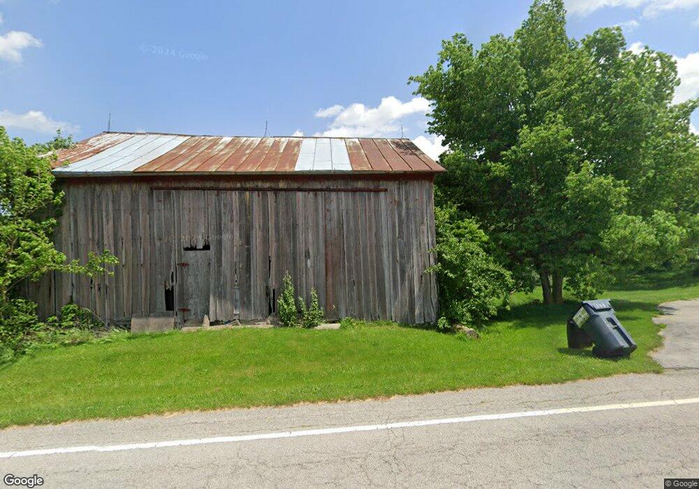
1867 N County Road 198 Fremont, OH 43420
Estimated Value: $220,083 - $243,000
4
Beds
1
Bath
1,570
Sq Ft
$149/Sq Ft
Est. Value
About This Home
This home is located at 1867 N County Road 198, Fremont, OH 43420 and is currently estimated at $234,521, approximately $149 per square foot. 1867 N County Road 198 is a home located in Sandusky County with nearby schools including Fremont Ross High School.
Ownership History
Date
Name
Owned For
Owner Type
Purchase Details
Closed on
Oct 23, 2014
Sold by
Estate Of Douglas R Rhoades
Bought by
Rhoades Sierra J
Current Estimated Value
Purchase Details
Closed on
Apr 5, 2009
Sold by
Halbisen Dennis L and Halbisen Karen L
Bought by
Rhoades Douglas R
Home Financials for this Owner
Home Financials are based on the most recent Mortgage that was taken out on this home.
Original Mortgage
$110,515
Interest Rate
4.85%
Mortgage Type
Purchase Money Mortgage
Purchase Details
Closed on
Oct 1, 1983
Sold by
Halbisen Dennis L and Halbisen Kare
Bought by
Rhoades Sierra J
Purchase Details
Closed on
May 1, 1983
Bought by
Rhoades Sierra J
Create a Home Valuation Report for This Property
The Home Valuation Report is an in-depth analysis detailing your home's value as well as a comparison with similar homes in the area
Home Values in the Area
Average Home Value in this Area
Purchase History
| Date | Buyer | Sale Price | Title Company |
|---|---|---|---|
| Rhoades Sierra J | -- | Attorney | |
| Rhoades Douglas R | -- | Attorney | |
| Rhoades Sierra J | $50,000 | -- | |
| Rhoades Sierra J | -- | -- |
Source: Public Records
Mortgage History
| Date | Status | Borrower | Loan Amount |
|---|---|---|---|
| Previous Owner | Rhoades Douglas R | $110,515 |
Source: Public Records
Tax History Compared to Growth
Tax History
| Year | Tax Paid | Tax Assessment Tax Assessment Total Assessment is a certain percentage of the fair market value that is determined by local assessors to be the total taxable value of land and additions on the property. | Land | Improvement |
|---|---|---|---|---|
| 2024 | $1,548 | $40,150 | $8,230 | $31,920 |
| 2023 | $1,548 | $40,150 | $8,230 | $31,920 |
| 2022 | $1,632 | $40,150 | $8,230 | $31,920 |
| 2021 | $1,683 | $40,150 | $8,230 | $31,920 |
| 2020 | $1,623 | $38,160 | $8,090 | $30,070 |
| 2019 | $1,621 | $38,160 | $8,090 | $30,070 |
| 2018 | $1,542 | $38,160 | $8,090 | $30,070 |
| 2017 | $1,460 | $34,240 | $8,090 | $26,150 |
| 2016 | $1,288 | $34,240 | $8,090 | $26,150 |
| 2015 | $1,268 | $34,240 | $8,090 | $26,150 |
| 2014 | $1,370 | $36,130 | $8,300 | $27,830 |
| 2013 | $1,408 | $36,130 | $8,300 | $27,830 |
Source: Public Records
Map
Nearby Homes
- 2087 County Road 216
- 2939 County Road 206
- 0 County Road 210
- 711 Bloom Rd
- 0 Sean Dr
- Outlot A Sean Dr
- 1730 Port Clinton Rd Unit 41
- 1730 Port Clinton Rd
- 1730 Port Clinton Rd Unit 33
- 612 2nd St
- 533 Sandusky Ave Unit 535
- 2100 Ohio 53
- 1301 Ohio 523 Unit 55
- 1301 Ohio 523 Unit 39
- 1301 Ohio 523 Unit 15
- 263 Saint Paul Dr
- 335 Cottage St
- 251 Saint Paul Dr
- 433 Sandusky Ave
- 3285 County Road 170
- 1983 N County Road 198
- 2004 N County Road 198
- 2053 N County Road 198
- 1661 N County Road 198
- 2080 N County Road 198
- 1616 N County Road 198
- 1784 County Road 202
- 1597 N County Road 198
- 3323 County Road 188
- 2125 N County Road 198
- 91 Bethany Dr
- 87 Bethany Dr
- 83 Bethany Dr
- 99 Bethany Dr
- 79 Bethany Dr
- 75 Bethany Dr
- 71 Bethany Dr
- 67 Bethany Dr
- 63 Bethany Dr
- 1565 N County Road 198