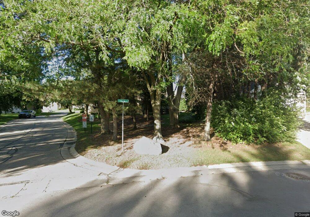
18675 Saint Andrews Ln Unit C Brookfield, WI 53045
Estimated Value: $469,944 - $513,000
3
Beds
4
Baths
2,300
Sq Ft
$214/Sq Ft
Est. Value
About This Home
This home is located at 18675 Saint Andrews Ln Unit C, Brookfield, WI 53045 and is currently estimated at $492,486, approximately $214 per square foot. 18675 Saint Andrews Ln Unit C is a home located in Waukesha County with nearby schools including Burleigh Elementary School, Pilgrim Park Middle School, and Brookfield East High School.
Ownership History
Date
Name
Owned For
Owner Type
Purchase Details
Closed on
Sep 24, 2021
Sold by
Hartman Linda M
Bought by
Carsten Eric John
Current Estimated Value
Purchase Details
Closed on
Sep 15, 2005
Sold by
Geary Cornelius T
Bought by
Hartman Linda M
Purchase Details
Closed on
Mar 26, 1999
Sold by
Clingenpeel Louise
Bought by
Geary Cornelius T and Geary Sara E
Home Financials for this Owner
Home Financials are based on the most recent Mortgage that was taken out on this home.
Original Mortgage
$280,000
Interest Rate
7.1%
Purchase Details
Closed on
Sep 3, 1996
Sold by
Wrenn Peter B and Wrenn Jean M
Bought by
Clingenpeel Louise
Create a Home Valuation Report for This Property
The Home Valuation Report is an in-depth analysis detailing your home's value as well as a comparison with similar homes in the area
Home Values in the Area
Average Home Value in this Area
Purchase History
| Date | Buyer | Sale Price | Title Company |
|---|---|---|---|
| Carsten Eric John | $360,000 | Knight Barry Title | |
| Hartman Linda M | $317,500 | -- | |
| Geary Cornelius T | $225,000 | -- | |
| Clingenpeel Louise | $205,000 | -- |
Source: Public Records
Mortgage History
| Date | Status | Borrower | Loan Amount |
|---|---|---|---|
| Previous Owner | Geary Cornelius T | $280,000 |
Source: Public Records
Tax History
| Year | Tax Paid | Tax Assessment Tax Assessment Total Assessment is a certain percentage of the fair market value that is determined by local assessors to be the total taxable value of land and additions on the property. | Land | Improvement |
|---|---|---|---|---|
| 2024 | $4,386 | $397,100 | $75,000 | $322,100 |
| 2023 | $4,383 | $397,100 | $75,000 | $322,100 |
| 2022 | $4,314 | $306,200 | $70,000 | $236,200 |
| 2021 | $4,565 | $306,200 | $70,000 | $236,200 |
| 2020 | $4,779 | $306,200 | $70,000 | $236,200 |
| 2019 | $4,584 | $306,200 | $70,000 | $236,200 |
| 2018 | $4,894 | $316,200 | $90,000 | $226,200 |
| 2017 | $5,658 | $316,200 | $90,000 | $226,200 |
| 2016 | $4,972 | $316,200 | $90,000 | $226,200 |
| 2015 | $4,946 | $316,200 | $90,000 | $226,200 |
| 2014 | $4,953 | $316,200 | $90,000 | $226,200 |
| 2013 | $5,131 | $316,200 | $90,000 | $226,200 |
Source: Public Records
Map
Nearby Homes
- 18675 Saint Andrew Ln Unit B
- 18590 Kamala Ct Unit 4
- 18840 Saratoga Ct
- 3440 Mountain Dr
- 4355 Continental Ct
- 19475 Summerhill Ln
- 17740 Lisa Ln
- 18205 Redvere Dr
- 3465 Nassau Dr
- 3290 Arroyo Rd
- 18730 Estate Cir Unit A
- 4555 Edington Ln
- 3080 N Brookfield Rd
- 3040 N 186th St Unit 1
- 3030 N 186th St Unit 2
- 18985 Wilderness Ct Unit B
- 3000 N 186th St Unit 6
- 4690 Bradon Trail E
- 3020 N 186th St Unit 4
- 3010 N 186th St Unit 3
- 18675 Saint Andrews Ln Unit D
- 18675 Saint Andrews Ln Unit B
- 18675 Saint Andrews Ln Unit A
- 18675 Saint Andrews Ln Unit C
- 18675 Saint Andrews Ln Unit 18675
- 18625 Saint Andrews Ln Unit C
- 18625 Saint Andrews Ln Unit B
- 18625 Saint Andrews Ln Unit A
- 18625 Saint Andrews Ln Unit D
- 18650 Saint Andrews Ln Unit D
- 18650 Saint Andrews Ln Unit C
- 18650 Saint Andrews Ln Unit B
- 18650 Saint Andrews Ln Unit A
- 18650 Saint Andrews Ln Unit 18650
- 18675 Saint Andrew Ln
- 18675 Saint Andrew Ln Unit D
- 18675 Saint Andrew Ln Unit C
- 18675 Saint Andrew Ln Unit A
- 18675 Saint Andrew Ln Unit 18675
- 18710 Saint Andrew Ln Unit B
