1868 Anderson Rd Toccoa, GA 30577
Estimated Value: $292,000 - $463,000
3
Beds
3
Baths
1,872
Sq Ft
$215/Sq Ft
Est. Value
About This Home
This home is located at 1868 Anderson Rd, Toccoa, GA 30577 and is currently estimated at $402,134, approximately $214 per square foot. 1868 Anderson Rd is a home with nearby schools including Stephens County High School.
Ownership History
Date
Name
Owned For
Owner Type
Purchase Details
Closed on
Nov 18, 2020
Sold by
Witherspoon John G
Bought by
Witherspoon Lynn C
Current Estimated Value
Purchase Details
Closed on
Dec 13, 2010
Sold by
Witherspoon Lynn C
Bought by
Witherspoon John G
Purchase Details
Closed on
Mar 7, 2003
Bought by
<Buyer Info Not Present>
Purchase Details
Closed on
Jun 1, 1993
Bought by
Witherspoon Lynn C
Purchase Details
Closed on
Jul 1, 1992
Bought by
<Buyer Info Not Present>
Create a Home Valuation Report for This Property
The Home Valuation Report is an in-depth analysis detailing your home's value as well as a comparison with similar homes in the area
Purchase History
We collect this data history from publicly available records. To have your information removed, we recommend requesting removal directly through your county’s website.
| Date | Buyer | Sale Price | Title Company |
|---|---|---|---|
| Witherspoon Lynn C | -- | -- | |
| Witherspoon John G | -- | -- | |
| <Buyer Info Not Present> | -- | -- | |
| Witherspoon Lynn C | -- | -- | |
| <Buyer Info Not Present> | -- | -- |
Source: Public Records
Tax History
| Year | Tax Paid | Tax Assessment Tax Assessment Total Assessment is a certain percentage of the fair market value that is determined by local assessors to be the total taxable value of land and additions on the property. | Land | Improvement |
|---|---|---|---|---|
| 2025 | $2,029 | $143,356 | $23,569 | $119,787 |
| 2024 | $1,697 | $106,777 | $23,569 | $83,208 |
| 2023 | $992 | $101,810 | $23,569 | $78,241 |
| 2022 | $1,402 | $98,207 | $23,569 | $74,638 |
| 2021 | $1,326 | $93,675 | $23,569 | $70,106 |
| 2020 | $1,328 | $93,481 | $23,569 | $69,912 |
| 2019 | $1,240 | $91,576 | $23,040 | $68,536 |
| 2018 | $1,235 | $91,576 | $23,040 | $68,536 |
| 2017 | $1,251 | $91,576 | $23,040 | $68,536 |
| 2016 | $1,232 | $91,576 | $23,040 | $68,536 |
| 2015 | $1,281 | $91,433 | $23,040 | $68,393 |
| 2014 | $1,296 | $91,434 | $23,040 | $68,394 |
| 2013 | -- | $89,761 | $23,040 | $66,721 |
Source: Public Records
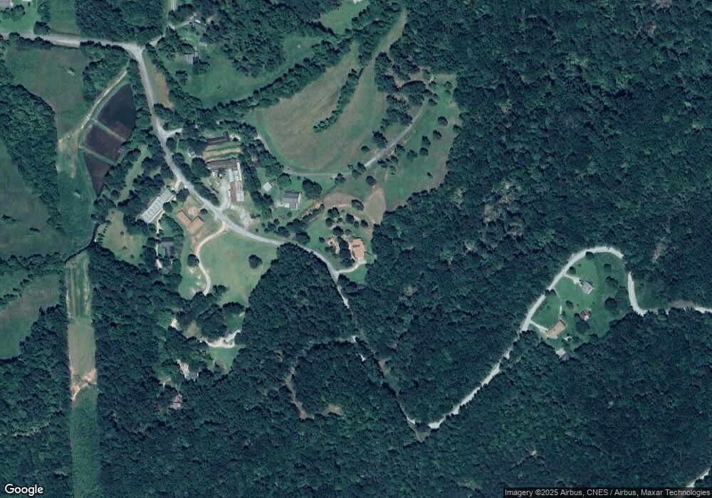
Map
Nearby Homes
- 1973 Falls Rd
- 721 Scenic Dr
- 596 Watson St
- 129 Green Forest Dr
- 42,44,54,56 Greenwood Cir
- 1533 Scenic Dr
- 91 Remsdale St
- 203 Remsdale St
- 565 Prather Bridge Rd
- 129 Brady St
- 73 Ridgeview Heights
- 90 Elm Dr
- 153 Prather Bridge Rd
- 481 W Currahee St
- 84 Oak Creek Cir
- 117 Glencrest Dr
- 391 Rosedale St
- 22 Green Hill Place
- 1168 Rosedale St
- 166 Glencrest Dr
- 114 Joe L Carter Dr
- 0 Rider Rd Unit 7506195
- 0 Rider Rd Unit 4AC 8145416
- 175 Devro Dr
- 112 Joe L Carter Dr
- 1993 Anderson Rd
- 2012 Anderson Rd
- 1553 Anderson Rd
- 1505 Anderson Rd
- 334 Long Cir
- 924 Long Rd
- 350 Long Cir
- 927 Long Rd
- 2247 Anderson Rd
- 2240 Anderson Rd
- 8870 Rock Quarry Rd
- 176 Black Mountain Rd
- 8894 Rock Quarry Rd
- 516 Long Cir
- 131 Murray Farm Rd
Your Personal Tour Guide
Ask me questions while you tour the home.