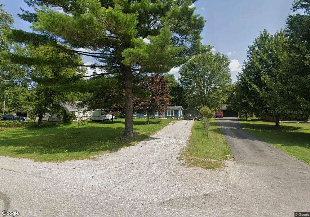
1868 Harvey Rd Kimball, MI 48074
Estimated Value: $152,000 - $204,000
3
Beds
2
Baths
1,248
Sq Ft
$146/Sq Ft
Est. Value
About This Home
This home is located at 1868 Harvey Rd, Kimball, MI 48074 and is currently estimated at $182,667, approximately $146 per square foot. 1868 Harvey Rd is a home located in St. Clair County with nearby schools including Kimball Elementary School, Central Middle School, and Port Huron High School.
Ownership History
Date
Name
Owned For
Owner Type
Purchase Details
Closed on
Nov 10, 2020
Sold by
Bernard Pearl
Bought by
Rusch Erin
Current Estimated Value
Purchase Details
Closed on
Jun 20, 2013
Sold by
Friday Cruz
Bought by
Pearl Bernard
Purchase Details
Closed on
Apr 29, 2010
Sold by
Pearl Bernard and Friday Cruz
Bought by
Rusch Erin
Purchase Details
Closed on
Nov 13, 2008
Sold by
Pionk John R and Pionk Heather J
Bought by
Hsbc Mortgage Services Inc
Purchase Details
Closed on
Dec 10, 2004
Sold by
Williams John
Bought by
Pionk John and Pionk Heather
Create a Home Valuation Report for This Property
The Home Valuation Report is an in-depth analysis detailing your home's value as well as a comparison with similar homes in the area
Home Values in the Area
Average Home Value in this Area
Purchase History
| Date | Buyer | Sale Price | Title Company |
|---|---|---|---|
| Rusch Erin | $10,719 | Coffee Steven C | |
| Rusch Erin | $10,719 | None Available | |
| Pearl Bernard | -- | None Available | |
| Rusch Erin | -- | First American Title Ins Co | |
| Pearl Bernard | -- | First American Title Ins Co | |
| Hsbc Mortgage Services Inc | $40,433 | None Available | |
| Pionk John | $21,800 | First American Title Insuran |
Source: Public Records
Tax History Compared to Growth
Tax History
| Year | Tax Paid | Tax Assessment Tax Assessment Total Assessment is a certain percentage of the fair market value that is determined by local assessors to be the total taxable value of land and additions on the property. | Land | Improvement |
|---|---|---|---|---|
| 2025 | $1,144 | $60,600 | $0 | $0 |
| 2024 | $570 | $57,800 | $0 | $0 |
| 2023 | $523 | $55,800 | $0 | $0 |
| 2022 | $994 | $48,100 | $0 | $0 |
| 2021 | $944 | $39,700 | $0 | $0 |
| 2020 | $944 | $33,700 | $33,700 | $0 |
| 2019 | $989 | $34,100 | $0 | $0 |
| 2018 | $878 | $32,200 | $0 | $0 |
| 2017 | $866 | $37,000 | $0 | $0 |
| 2016 | $425 | $37,000 | $0 | $0 |
| 2015 | -- | $35,800 | $35,800 | $0 |
| 2014 | -- | $29,900 | $29,900 | $0 |
| 2013 | -- | $37,100 | $0 | $0 |
Source: Public Records
Map
Nearby Homes
- 4632 Cloverdale Ln
- 4595 Griswold Rd
- 1405 Range Rd
- 0000 Range Rd
- 00 Range Rd
- 1979 Allen Rd
- V/L Allen
- 1701 Allen Rd
- 00 Howard Rd
- 0 Wall Rd Unit 50185999
- 1604 Allen Rd
- 0 Allen Rd Unit 20250008597
- 0 Allen Rd Unit 20250008612
- 4380 Lapeer Rd
- V/L Partridge Rd
- 0 Lapeer Rd Unit 50137357
- 174 Meadow Ln
- 104 Oldbrook Ln
- 153 Meadow Ln
- 0 Ravenswood Rd Unit 20251017048
- 1876 Harvey Rd
- 1860 Harvey Rd
- 0 Harvey Unit 4407398
- 0 Harvey Unit 4407397
- 1867 Harvey Rd
- 1875 Harvey Rd
- 1871 Harvey Rd
- 1865 Harvey Rd
- 1879 Harvey Rd
- 1854 Harvey Rd
- 1883 Harvey Rd
- 1841 Harvey Rd
- 1883 Harvey
- 0 Harvey Rd
- 1901 Harvey Rd
- 1904 Harvey Rd
- 1850 Harvey Rd
- 1835 Harvey Rd
- 1905 Harvey Rd
- 1905 Harvey Rd