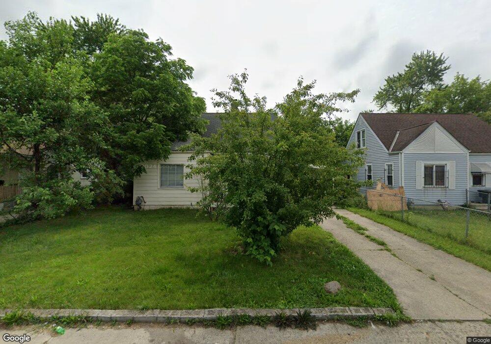
1868 Woodland Ave Columbus, OH 43219
Woodland Holt NeighborhoodEstimated Value: $161,809 - $193,000
3
Beds
2
Baths
1,177
Sq Ft
$153/Sq Ft
Est. Value
About This Home
This home is located at 1868 Woodland Ave, Columbus, OH 43219 and is currently estimated at $180,202, approximately $153 per square foot. 1868 Woodland Ave is a home located in Franklin County with nearby schools including South Mifflin Stem Academy (K-6), Linden-Mckinley Stem School On Arcadia, and Cesar Chavez College Preparatory School.
Ownership History
Date
Name
Owned For
Owner Type
Purchase Details
Closed on
Mar 13, 2007
Sold by
Sariwatta Benja S and Sariwatta Daungnapa
Bought by
Morning Ray Properties Llc
Current Estimated Value
Purchase Details
Closed on
Oct 16, 2006
Sold by
Butts Joseph H and Estate Of Alice J Butts
Bought by
Sariwatta Benja S and Sariwatta Daungnapa
Home Financials for this Owner
Home Financials are based on the most recent Mortgage that was taken out on this home.
Original Mortgage
$50,400
Interest Rate
6.5%
Mortgage Type
Purchase Money Mortgage
Create a Home Valuation Report for This Property
The Home Valuation Report is an in-depth analysis detailing your home's value as well as a comparison with similar homes in the area
Home Values in the Area
Average Home Value in this Area
Purchase History
| Date | Buyer | Sale Price | Title Company |
|---|---|---|---|
| Morning Ray Properties Llc | -- | Attorney | |
| Sariwatta Benja S | $56,000 | Gahanna Tit |
Source: Public Records
Mortgage History
| Date | Status | Borrower | Loan Amount |
|---|---|---|---|
| Previous Owner | Sariwatta Benja S | $50,400 |
Source: Public Records
Tax History Compared to Growth
Tax History
| Year | Tax Paid | Tax Assessment Tax Assessment Total Assessment is a certain percentage of the fair market value that is determined by local assessors to be the total taxable value of land and additions on the property. | Land | Improvement |
|---|---|---|---|---|
| 2024 | $1,715 | $37,420 | $8,120 | $29,300 |
| 2023 | $1,693 | $37,415 | $8,120 | $29,295 |
| 2022 | $1,038 | $19,530 | $2,380 | $17,150 |
| 2021 | $1,040 | $19,530 | $2,380 | $17,150 |
| 2020 | $1,041 | $19,530 | $2,380 | $17,150 |
| 2019 | $947 | $15,230 | $1,890 | $13,340 |
| 2018 | $962 | $15,230 | $1,890 | $13,340 |
| 2017 | $1,055 | $15,230 | $1,890 | $13,340 |
| 2016 | $1,164 | $15,830 | $2,630 | $13,200 |
| 2015 | $979 | $15,830 | $2,630 | $13,200 |
| 2014 | $982 | $15,830 | $2,630 | $13,200 |
| 2013 | $538 | $17,570 | $2,905 | $14,665 |
Source: Public Records
Map
Nearby Homes
- 1789 Marston Rd
- 1978 Argyle Dr
- 1790 Marston Rd
- 1991 Woodland Ave
- 1808 Brentnell Ave
- 2054 Jermain Dr
- 0 Rankin Ave Unit (Rear)
- 1794 Devonshire Rd
- 1882 Dunning Rd
- 2336 Edenburgh Dr S
- 1975 Mock Rd
- 0 Delbert Rd Unit 225030362
- 2398 Dunkirk Dr
- 0 Mock Rd
- 0 Danby Dr
- 1810 E 26th Ave
- 2228 Holt Ave
- 0 Parkwood Ave
- 2471 Mock Rd
- 2040 Loretta Ave
- 1862 Woodland Ave
- 1874 Woodland Ave
- 1854 Woodland Ave
- 1880 Woodland Ave
- 1861 Jermain Dr
- 1867 Jermain Dr
- 1855 Jermain Dr
- 1848 Woodland Ave
- 1888 Woodland Ave
- 1873 Jermain Dr
- 1847 Jermain Dr
- 1894 Woodland Ave
- 1842 Woodland Ave
- 1841 Jermain Dr
- 1879 Jermain Dr
- 1835 Jermain Dr
- 1887 Jermain Dr
- 1900 Woodland Ave
- 1836 Woodland Ave
- 1885 Woodland Ave