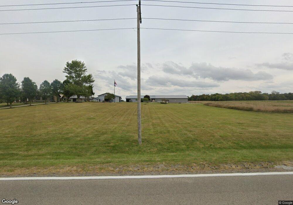
18686 State Route 196 Waynesfield, OH 45896
Estimated Value: $717,000 - $821,912
4
Beds
3
Baths
11,180
Sq Ft
$69/Sq Ft
Est. Value
About This Home
This home is located at 18686 State Route 196, Waynesfield, OH 45896 and is currently estimated at $769,456, approximately $68 per square foot. 18686 State Route 196 is a home located in Auglaize County with nearby schools including Waynesfield-Goshen Local Elementary School and Waynesfield-Goshen Local High School.
Ownership History
Date
Name
Owned For
Owner Type
Purchase Details
Closed on
Apr 21, 2025
Sold by
Carter Randy E and Carter Alice R
Bought by
Alice R Carter Revocable Trust and Carter
Current Estimated Value
Create a Home Valuation Report for This Property
The Home Valuation Report is an in-depth analysis detailing your home's value as well as a comparison with similar homes in the area
Home Values in the Area
Average Home Value in this Area
Purchase History
| Date | Buyer | Sale Price | Title Company |
|---|---|---|---|
| Alice R Carter Revocable Trust | -- | None Listed On Document | |
| Alice R Carter Revocable Trust | -- | None Listed On Document |
Source: Public Records
Tax History Compared to Growth
Tax History
| Year | Tax Paid | Tax Assessment Tax Assessment Total Assessment is a certain percentage of the fair market value that is determined by local assessors to be the total taxable value of land and additions on the property. | Land | Improvement |
|---|---|---|---|---|
| 2024 | $17,002 | $270,300 | $13,090 | $257,210 |
| 2023 | $9,385 | $270,300 | $13,090 | $257,210 |
| 2022 | $7,345 | $180,470 | $12,630 | $167,840 |
| 2021 | $7,364 | $180,470 | $12,630 | $167,840 |
| 2020 | $7,251 | $180,471 | $12,632 | $167,839 |
| 2019 | $5,890 | $150,392 | $10,525 | $139,867 |
| 2018 | $5,724 | $150,392 | $10,525 | $139,867 |
| 2017 | $5,700 | $150,392 | $10,525 | $139,867 |
| 2016 | $4,144 | $112,907 | $10,024 | $102,883 |
| 2015 | $4,145 | $112,907 | $10,024 | $102,883 |
| 2014 | $4,151 | $112,907 | $10,024 | $102,883 |
| 2013 | $4,614 | $112,907 | $10,024 | $102,883 |
Source: Public Records
Map
Nearby Homes
- 105 Guthrie St
- 202 W Mulberry St
- 25836 Ohio 67
- 8150 Amherst Rd
- 5065 Amherst Rd
- 22275 Buckland Holden Rd
- 7165 Faulkner Rd
- 20630 State Route 67
- 6616 Bellefontaine Rd
- 6381 McPheron Rd
- E Hanthorn Rd
- 5600 E Hanthorn Rd
- 4160 E Hanthorn Rd
- 0 Ohio 67
- 37 N Main St
- 17 E Walnut St
- 1855 S Cool Rd
- 200 S Main St
- 3080 E Hanthorn Rd
- 4080 Bellefontaine Rd
- 18811 State Route 196
- 18481 State Route 196
- 18443 State Route 196
- 18401 State Route 196
- 24920 Buckland Holden Rd
- 18339 State Route 196
- 18326 State Route 196
- 24792 Buckland Holden Rd
- 18263 State Route 196
- 18263 Ohio 196
- 24702 Buckland Holden Rd
- 18203 State Route 196
- 24670 Buckland Holden Rd
- 24600 Buckland Holden Rd
- 19206 State Route 196
- 25481 Buckland Holden Rd
- 25139 Fairmount Rd
- 25181 Fairmount Rd