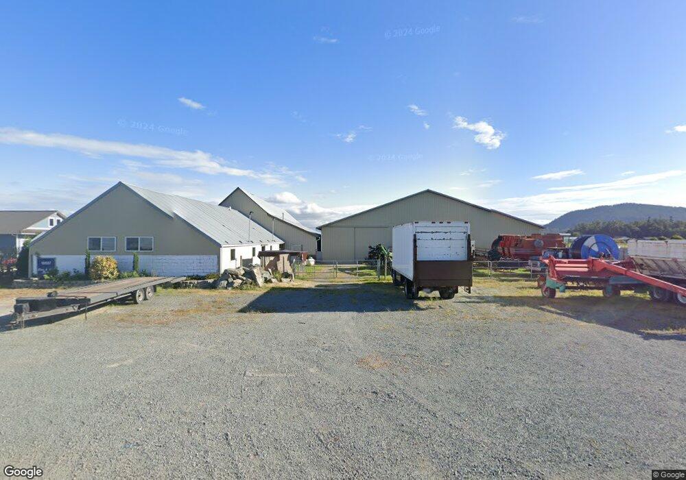
18687 W Stackpole Rd Mount Vernon, WA 98273
Estimated Value: $1,411,000
3
Beds
3
Baths
15,657
Sq Ft
$90/Sq Ft
Est. Value
About This Home
This home is located at 18687 W Stackpole Rd, Mount Vernon, WA 98273 and is currently priced at $1,411,000, approximately $90 per square foot. 18687 W Stackpole Rd is a home located in Skagit County with nearby schools including Conway School and Mount Vernon Christian School.
Ownership History
Date
Name
Owned For
Owner Type
Purchase Details
Closed on
Aug 24, 2022
Sold by
Stephen Waltner Scott
Bought by
Belirene Llc
Current Estimated Value
Purchase Details
Closed on
Nov 16, 2016
Sold by
Testamentary Waltner Scott S and Testamentary Herbert J Waltner
Bought by
Waltner Scott S
Purchase Details
Closed on
Jul 14, 2011
Sold by
Waltner Scott S and Estate Of Herbert J Waltner
Bought by
Testamentary Waltner Scott S and Testamentary Herbert J Waltner
Create a Home Valuation Report for This Property
The Home Valuation Report is an in-depth analysis detailing your home's value as well as a comparison with similar homes in the area
Purchase History
| Date | Buyer | Sale Price | Title Company |
|---|---|---|---|
| Belirene Llc | $18,687 | None Listed On Document | |
| Waltner Scott S | -- | None Available | |
| Testamentary Waltner Scott S | -- | None Available |
Source: Public Records
Tax History
| Year | Tax Paid | Tax Assessment Tax Assessment Total Assessment is a certain percentage of the fair market value that is determined by local assessors to be the total taxable value of land and additions on the property. | Land | Improvement |
|---|---|---|---|---|
| 2025 | $11,168 | $1,201,400 | -- | -- |
| 2024 | $9,116 | $1,179,300 | -- | -- |
| 2023 | $9,116 | $912,900 | $0 | $0 |
| 2022 | $7,395 | $967,700 | $0 | $0 |
| 2021 | $6,238 | $653,300 | $0 | $0 |
| 2020 | $6,296 | $514,300 | $0 | $0 |
| 2019 | $6,119 | $516,100 | $0 | $0 |
| 2018 | $4,701 | $507,600 | $0 | $0 |
| 2017 | $4,568 | $325,600 | $0 | $0 |
| 2016 | $4,454 | $196,800 | $0 | $196,800 |
| 2015 | $4,453 | $293,100 | $0 | $183,600 |
| 2013 | $3,816 | $243,600 | $0 | $0 |
Source: Public Records
Map
Nearby Homes
- 3823 Old Highway 99 South Rd
- 39 Old Highway 99 South Rd
- 20434 Benson Ridge Ln
- 20519 Benson Ridge Ln
- 20555 Benson Ridge
- 19727 Skyridge Rd
- 20968 Broadway St
- 0 XX Anderson Rd
- 2522 Old Highway 99 S Unit 6
- 2522 Old Highway 99 S Unit 23
- 2522 Old Highway 99 South Rd Unit 2
- 16785 Britt Rd
- 17368 Olympic Place
- 2318 Old Hw 99 S
- 2210 Old Highway 99 South Rd Unit 31
- 18340 Osprey Ct
- 1802 Douglas St
- 1808 S 14th St
- 20943 Scout Camp Ln
- 1511 S 12th St
- 19008 E Stackpole Rd
- 19031 Cedardale Rd
- 19057 Cedardale Rd
- 19042 E Stackpole Rd
- 19054 E Stackpole Rd
- 19083 Cedardale Rd
- 19139 Cedardale Rd
- 19076 E Stackpole Rd
- 18791 Cedardale Rd
- 19185 Cedardale Rd
- 18765 Cedardale Rd
- 19057 Morrison Rd
- 19097 Morrison Rd
- 19192 E Stackpole Rd
- 19216 Morrison Rd
- 19212 Morrison Rd
- 19208 Morrison Rd
- 19188 Holmstrom Rd
- 18787 Dike Rd
- 19115 Dike Rd
Your Personal Tour Guide
Ask me questions while you tour the home.