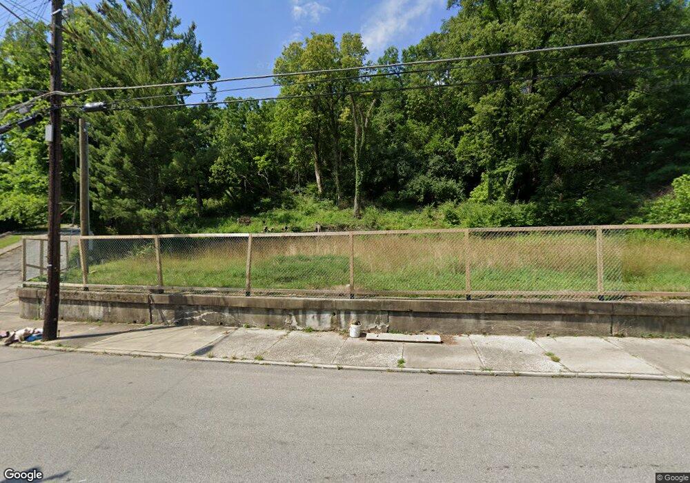
1869 Baltimore Ave Cincinnati, OH 45225
North Fairmount NeighborhoodEstimated Value: $96,000
Studio
--
Bath
--
Sq Ft
19,384
Sq Ft
About This Home
This home is located at 1869 Baltimore Ave, Cincinnati, OH 45225 and is currently priced at $96,000. 1869 Baltimore Ave is a home located in Hamilton County with nearby schools including Ethel M. Taylor Academy, Robert A. Taft Information Technology High School, and Western Hills High School.
Ownership History
Date
Name
Owned For
Owner Type
Purchase Details
Closed on
Jan 30, 2025
Sold by
Arthur Place Farm Llc
Bought by
Hamilton County Land Reutilization Corporatio
Current Estimated Value
Purchase Details
Closed on
Apr 29, 2020
Sold by
Hamilton County Land Reutilization Corp
Bought by
Arthur Place Farm Llc
Purchase Details
Closed on
May 16, 2019
Sold by
County Of Hamilton
Bought by
Hamilton County Land Reutilization Corp
Purchase Details
Closed on
Nov 30, 2009
Sold by
Schmidtz Marian
Bought by
Day Charles
Create a Home Valuation Report for This Property
The Home Valuation Report is an in-depth analysis detailing your home's value as well as a comparison with similar homes in the area
Home Values in the Area
Average Home Value in this Area
Purchase History
| Date | Buyer | Sale Price | Title Company |
|---|---|---|---|
| Hamilton County Land Reutilization Corporatio | -- | None Listed On Document | |
| Arthur Place Farm Llc | -- | None Available | |
| Hamilton County Land Reutilization Corp | -- | None Available | |
| Day Charles | $1,000 | Attorney |
Source: Public Records
Tax History
| Year | Tax Paid | Tax Assessment Tax Assessment Total Assessment is a certain percentage of the fair market value that is determined by local assessors to be the total taxable value of land and additions on the property. | Land | Improvement |
|---|---|---|---|---|
| 2025 | -- | $5,229 | $5,229 | -- |
| 2024 | $517 | $5,229 | $5,229 | -- |
| 2023 | $516 | $5,229 | $5,229 | $0 |
| 2022 | $720 | $7,000 | $7,000 | $0 |
| 2021 | $681 | $7,000 | $7,000 | $0 |
| 2020 | $58 | $7,000 | $7,000 | $0 |
| 2019 | $56 | $7,000 | $7,000 | $0 |
| 2018 | $5,786 | $7,000 | $7,000 | $0 |
| 2017 | $5,502 | $7,000 | $7,000 | $0 |
| 2016 | $5,784 | $154 | $154 | $0 |
| 2015 | $5,359 | $154 | $154 | $0 |
| 2014 | $5,722 | $308 | $154 | $154 |
| 2013 | $79 | $350 | $175 | $175 |
Source: Public Records
Map
Nearby Homes
- 1859 Baltimore Ave
- 1808 Carll St
- 1793 Baltimore Ave
- 1797 Denham St
- 1781 Baltimore Ave
- 2594 Seegar Ave
- 1965 Baltimore Ave
- 2568 Trevor Place
- 1854 Knox St
- 1674 Baltimore Ave
- 1646 Pulte St
- 1642 Sutter Ave
- 2911 Moosewood Ct
- 2060 Bickel Ave
- 2658 Linden St
- 2656 Linden St
- 2654 Linden St
- 2652 Linden St
- 2650 Linden St
- 2043 E Teralta Cir
- 1877 Baltimore Ave
- 1865 Baltimore Ave
- 1879 Baltimore Ave
- 1861 Baltimore Ave
- 1881 Baltimore Ave
- 1853 Carll St
- 1857 Baltimore Ave
- 1883 Baltimore Ave
- 2592 Casper St
- 1851 Carll St
- 1885 Baltimore Ave
- 1882 Baltimore Ave
- 1854 Carll St
- 1849 Carll St
- 1860 Baltimore Ave
- 1887 Baltimore Ave
- 1865 Denham St
- 1847 Carll St
- 1889 Baltimore Ave
- 1852 Carll St
Your Personal Tour Guide
Ask me questions while you tour the home.