1869 Highway 145 Carnesville, GA 30521
Estimated Value: $216,000 - $247,000
3
Beds
2
Baths
900
Sq Ft
$257/Sq Ft
Est. Value
About This Home
This home is located at 1869 Highway 145, Carnesville, GA 30521 and is currently estimated at $231,500, approximately $257 per square foot. 1869 Highway 145 is a home located in Franklin County with nearby schools including Franklin County High School and Cornerstone Christian Academy.
Ownership History
Date
Name
Owned For
Owner Type
Purchase Details
Closed on
Oct 15, 2024
Sold by
Nichols Lynda
Bought by
Chappell Penny
Current Estimated Value
Purchase Details
Closed on
Dec 15, 2017
Sold by
Nichols Elbert L
Bought by
Mcclain Tracy E
Home Financials for this Owner
Home Financials are based on the most recent Mortgage that was taken out on this home.
Original Mortgage
$185,940
Interest Rate
3.95%
Mortgage Type
VA
Purchase Details
Closed on
Feb 22, 2001
Bought by
Nichols Elbert and Nichols Lyn
Create a Home Valuation Report for This Property
The Home Valuation Report is an in-depth analysis detailing your home's value as well as a comparison with similar homes in the area
Home Values in the Area
Average Home Value in this Area
Purchase History
| Date | Buyer | Sale Price | Title Company |
|---|---|---|---|
| Chappell Penny | -- | -- | |
| Mcclain Tracy E | $180,000 | -- | |
| Nichols Elbert | -- | -- |
Source: Public Records
Mortgage History
| Date | Status | Borrower | Loan Amount |
|---|---|---|---|
| Previous Owner | Mcclain Tracy E | $185,940 |
Source: Public Records
Tax History Compared to Growth
Tax History
| Year | Tax Paid | Tax Assessment Tax Assessment Total Assessment is a certain percentage of the fair market value that is determined by local assessors to be the total taxable value of land and additions on the property. | Land | Improvement |
|---|---|---|---|---|
| 2024 | $347 | $14,586 | $11,426 | $3,160 |
| 2023 | $347 | $13,431 | $10,271 | $3,160 |
| 2022 | $291 | $11,279 | $8,119 | $3,160 |
| 2021 | $312 | $11,335 | $8,119 | $3,216 |
| 2020 | $315 | $11,335 | $8,119 | $3,216 |
| 2019 | $304 | $11,335 | $8,119 | $3,216 |
| 2018 | $259 | $9,653 | $8,231 | $1,422 |
| 2017 | $1,535 | $56,957 | $26,426 | $30,531 |
| 2016 | $1,552 | $55,202 | $26,426 | $28,776 |
| 2015 | -- | $55,202 | $26,426 | $28,776 |
| 2014 | -- | $54,384 | $26,426 | $27,958 |
Source: Public Records
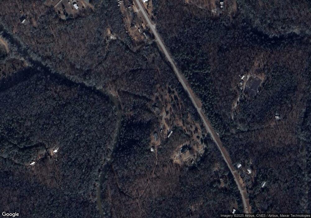
Map
Nearby Homes
- 597 Meadow Brook Ln
- 1350 Noah Crow Rd
- 157 Riverbend Cir
- 2390 W Main St
- 329 Riverbend Dr
- 249 Taylor St
- 206 College Heights
- 1687 E Main St
- 23 College Heights Place
- 41 College Heights Place
- 61 College Heights Place
- 2521 Starrs Bridge Rd
- 155 Carey St
- 224 Brad St
- 603 Springdale Dr
- 66 Topaz Ln
- 48 Brad St
- 95 Ext Brad St
- 0 Dove Hill Rd Unit 25439972
- 0 Dove Hill Rd Unit 10637645
- 1869 Highway 145
- 1869 Highway 145
- 1869 Highway 145
- 1770 Highway 145
- 1861 Highway 145
- 1910 Highway 145
- 1770 Georgia 145
- 1726 Highway 145
- 1869 Georgia 145
- 601 Meadow Brook Ln
- 601 Meadow Brook Ln
- 1676 Highway 145
- 1561 Highway 145
- 599 Meadow Brook Ln
- 644 Sandy Cross Rd
- 1538 Highway 145
- 2112 Highway 145
- 2112 Highway 145
- 2112 Highway 145
- 2155 Highway 145