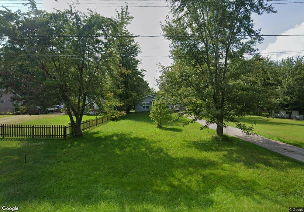
1869 Maple Rd Kimball, MI 48074
Estimated Value: $240,035 - $280,000
4
Beds
2
Baths
1,440
Sq Ft
$176/Sq Ft
Est. Value
About This Home
This home is located at 1869 Maple Rd, Kimball, MI 48074 and is currently estimated at $253,759, approximately $176 per square foot. 1869 Maple Rd is a home located in St. Clair County with nearby schools including Kimball Elementary School, Central Middle School, and Port Huron High School.
Ownership History
Date
Name
Owned For
Owner Type
Purchase Details
Closed on
Oct 27, 2014
Sold by
Blue Water Habitat For Humanity Inc
Bought by
Chapman David M and Smith Ashley E
Current Estimated Value
Home Financials for this Owner
Home Financials are based on the most recent Mortgage that was taken out on this home.
Original Mortgage
$93,361
Outstanding Balance
$72,120
Interest Rate
4.23%
Mortgage Type
Purchase Money Mortgage
Estimated Equity
$181,639
Purchase Details
Closed on
Jun 22, 2012
Sold by
Deutsche Bank National Trust Company
Bought by
Blue Water Habitat For Humanity Inc
Purchase Details
Closed on
Jun 23, 2011
Sold by
Dore Pamela J
Bought by
Deutsche Bank National Trust Company
Purchase Details
Closed on
Nov 28, 2006
Sold by
Dore Pamela J and Dore Donald
Bought by
Dore Pamela J
Home Financials for this Owner
Home Financials are based on the most recent Mortgage that was taken out on this home.
Original Mortgage
$65,000
Interest Rate
6.47%
Mortgage Type
New Conventional
Create a Home Valuation Report for This Property
The Home Valuation Report is an in-depth analysis detailing your home's value as well as a comparison with similar homes in the area
Home Values in the Area
Average Home Value in this Area
Purchase History
| Date | Buyer | Sale Price | Title Company |
|---|---|---|---|
| Chapman David M | $110,000 | Attorneys Title Agency | |
| Blue Water Habitat For Humanity Inc | -- | Attorneys Title Agency Llc | |
| Deutsche Bank National Trust Company | $33,915 | None Available | |
| Dore Pamela J | -- | Title One Agency |
Source: Public Records
Mortgage History
| Date | Status | Borrower | Loan Amount |
|---|---|---|---|
| Open | Chapman David M | $93,361 | |
| Previous Owner | Dore Pamela J | $65,000 |
Source: Public Records
Tax History
| Year | Tax Paid | Tax Assessment Tax Assessment Total Assessment is a certain percentage of the fair market value that is determined by local assessors to be the total taxable value of land and additions on the property. | Land | Improvement |
|---|---|---|---|---|
| 2025 | $867 | $108,800 | $0 | $0 |
| 2024 | $842 | $97,800 | $0 | $0 |
| 2023 | $771 | $95,800 | $0 | $0 |
| 2022 | $1,365 | $78,600 | $0 | $0 |
| 2020 | $1,247 | $71,700 | $71,700 | $0 |
| 2019 | $1,210 | $57,400 | $0 | $0 |
| 2018 | $1,182 | $47,800 | $0 | $0 |
| 2017 | $1,172 | $46,900 | $0 | $0 |
| 2016 | $632 | $46,900 | $0 | $0 |
| 2015 | -- | $49,700 | $49,700 | $0 |
| 2014 | -- | $16,100 | $16,100 | $0 |
| 2013 | -- | $29,700 | $0 | $0 |
Source: Public Records
Map
Nearby Homes
- V/L Allen
- 1786 Omar Rd
- 1604 Allen Rd
- 1948 Meadowlark Ln
- 1906 Morningstar Ave
- 0 Allen Rd Unit 20250008597
- 0 Allen Rd Unit 20250008612
- 00 Howard Rd
- 2007 Edward Ln E
- 1405 Range Rd
- 2047 Edward Ln E
- 0 Wadhams Rd Unit 50155021
- 0000 Range Rd
- 00 Range Rd
- 1091 Allen Rd
- 00 Griswold Rd
- 0 Lapeer Rd Unit 50137357
- 5117 Ravenswood Rd
- 0 Wall Rd Unit 50185999
- 2758 E Lake Dr
Your Personal Tour Guide
Ask me questions while you tour the home.